High pressure will build over the area tonight into Saturday, bringing dry conditions with light winds. Partly cloudy skies and lingering moisture from Thursday night's rain will allow patchy fog to develop tonight, mainly in mountain valleys.
Saturday will feature pleasant weather with highs 10 to 15 degrees above normal under partly to mostly sunny skies. Temperatures will reach near 62 degrees, making for an ideal afternoon for outdoor activities.
RELATED | 51% chance of La Niña forecasted for this winter & what that means for Idaho
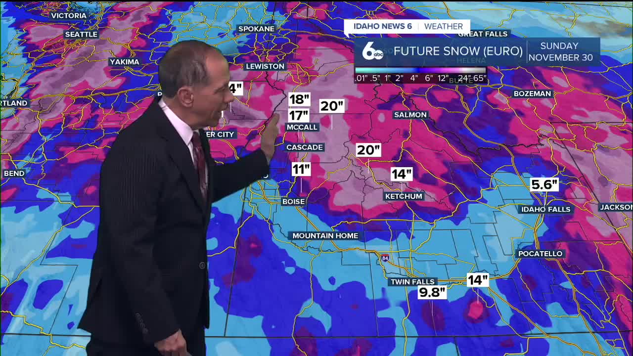
The quiet weather won't last long as a cutoff low currently off the coast of southern California moves inland and then north through western Nevada late Saturday into Sunday. This system will have a deep moisture tap, boosting precipitable water values to around the 95th percentile for this time of year.

Rain will increase from south to north across the area late Saturday night and Sunday morning, with a 60% to 90% chance of showers continuing through Sunday night. Widespread rainfall of 0.10 to 0.50 inches looks likely, with a 10% to 20% chance for up to 1 inch in some locations due to surface and mid-level convergence near the low-pressure center and in the mountains, where orographic effects will boost totals.
Snow levels will remain high through Sunday night, lowering from 8,000 to 9,000 feet early Sunday to around 7,000 feet Sunday night. Winds will be breezy, and increased precipitation and clouds will cool temperatures by several degrees.
Extended Outlook: Uncertainty in Weather Pattern
There is uncertainty in pinning down exactly what will happen next week. Rain chances will continue through Monday, but after that, computer weather models are showing two different possibilities.
Nearly half of the weather models predict the storm system will stay off the southern California coast, which would mean warmer and drier weather for our area. The other models show the system moving directly over us, bringing cooler temperatures and more rain.
Either way, Monday will likely see showers across the region. Mountain areas could see a 20% to 60% chance of rain continuing through early Wednesday. By Wednesday, high pressure should move in and dry things out before the next weather system arrives.
Another storm system from Alaska is expected late next week, but forecasters aren't sure exactly when it will arrive or how strong it will be. For now, temperatures are expected to stay about 5 degrees warmer than normal for this time of year.
Daily Forecast
Friday Night: Partly cloudy, with a low around 41 degrees. Calm wind.
Saturday: Sunny, with a high near 62 degrees. Light and variable wind.
Saturday Night: A 30% chance of rain after 11 p.m. Mostly cloudy, with a low around 44 degrees. Calm wind.
Sunday: Rain likely. Mostly cloudy, with a high near 58 degrees. Light wind. The chance of precipitation is 70%. New precipitation amounts between a tenth and a quarter of an inch are possible.
Sunday Night: Rain likely, mostly cloudy, with a low around 44 degrees. The chance of precipitation is 70%. New precipitation amounts between a tenth and a quarter of an inch are possible.
Monday: A 50% chance of rain, mainly before 11 a.m. Patchy fog before 8 a.m. Otherwise, mostly cloudy, with a high near 55 degrees.
Tuesday: A 20% chance of rain before 11 a.m. Mostly sunny, with a high near 55 degrees.
Wednesday: Mostly sunny, with a high near 52 degrees.
Thursday: A 40% chance of rain. Partly sunny, with a high near 52 degrees.
Friday: Mostly sunny, with a high near 50 degrees.
Southern California Flooding Concerns
The same cutoff low system bringing rain to the region is creating significant flooding concerns across Southern California. The National Weather Service has issued flood watches and warnings for multiple areas as the moisture-rich system moves inland.
The deep moisture tap associated with this system is producing precipitable water values at the 95th percentile for mid-November, creating conditions favorable for heavy rainfall rates. Areas of particular concern include burn scars from recent wildfires, where reduced vegetation and altered soil conditions increase flood and debris flow risks.
The National Weather Service warns that rainfall rates could exceed 0.5 inches per hour in some areas, with storm totals potentially reaching 2 to 5 inches in the mountains and foothills. Urban areas with poor drainage and low-lying regions near rivers and streams face elevated flood risks.
Residents in southern California are advised to avoid driving through flooded roadways and to stay informed about rapidly changing conditions. The "Turn Around, Don't Drown" message remains critical as even shallow moving water can sweep vehicles off roadways.
As this system moves north into Nevada and our region, rainfall amounts are expected to be significantly lower, though areas near the California border may still see enhanced precipitation due to orographic lifting effects.
Stay connected right here for updates to my forecast for the weekend.


