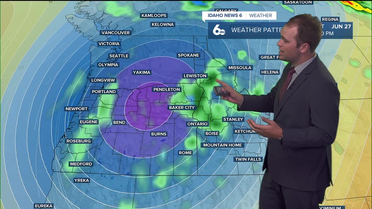


Summer in the Treasure Valley is here and we kicked off the week in the 90's. Our region will see a stretch of hot, sunny weather to for the rest of the week before a dramatic cool-down arrives Friday with chances of showers and thunderstorms in the forecast.
Tonight
Increasing clouds overnight. Low: 60°F. Winds from the north at 6 mph, becoming calm in the evening.
Wednesday
Expect abundant sunshine and heat, with a high of 95°F. Light winds early, shifting northwest at 5–10 mph, with gusts up to 20 mph.
Wednesday Night
Clouds move back in. Low: 61°F. Northwest winds at 5–10 mph before becoming light and variable after midnight. Gusts up to 21 mph possible.
Thursday
Mostly cloudy in the morning, turning sunny and hot. High: 91°F. Northwest winds at 3–8 mph, gusts up to 21 mph.
Thursday Night
Mostly cloudy skies. Low: 62°F. Winds from the west northwest at 5–8 mph, calming after midnight.
Friday
Big weather change — 50% chance of showers and thunderstorms. Mostly cloudy, cooler. High: 75°F.
Friday Night
Likely showers and thunderstorms (70% chance). Patchy fog after 5 a.m. Mostly cloudy. Low: 52°F.
Saturday
Showers possible, with thunderstorms developing after noon. Partly sunny. High: 70°F. Rain chance: 50%.
Saturday Night
Slight rain chance (20%). Partly cloudy. Low: 45°F.
Sunday
20% chance of showers before noon; mostly sunny. High: 68°F.
Sunday Night
Partly cloudy. Low: 47°F.
Monday
Mostly sunny. High: 76°F.
Monday Night
Mostly clear. Low: 50°F.
Tuesday
Sunny and pleasant. High: 82°F.