

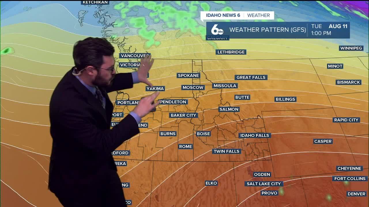


Temperatures take a tumble this week, and chances of thunderstorm activity are set to pick up heading into next weekend.
Unfortunately, our consistent haze and warm temperatures are not disappearing overnight. We are still in for poor air quality and 90s as the high to kick off the work week. By the middle of the week, we will slowly see conditions cool down, and by next weekend upper 80s are expected for the Treasure Valley with low 80s as the high for the Magic Valley.
WATCH THE FULL FORECAST HERE—
Around Thursday, as the cooldown comes in, another weather change arrives. Thunderstorm activity is starting to pick back up for southern Idaho.
July gave us a decent break from those active storms, but mid-August is trending wetter than usual for most of the western U.S., so be prepared for more showers. Thursday through Sunday is sitting at a 40% chance for the Magic Valley area, and Idaho News 6 will watch out for more storms into next week.
This is a good time to remind everyone that August is set to have some of the worst chances for wildfire activity in Washington, Oregon, and Idaho. With the upcoming wetter-than-usual conditions, that is a good and a bad sign. Good to get the rain, but this time of year it comes in the form of thunderstorms, which can start lightning-caused fires. Add some wind from those storms, and you get a destructive combination, so we will pay attention to the tail end of this fire season as August continues.
RELATED | Fire crews respond to 183 new fire starts nationwide as millions of acres continue to burn
Enjoy the rest of the weekend and get ready for a slight cooldown coming soon!
