

An intensifying atmospheric river from the Pacific subtropics is bringing significant rainfall and unseasonably warm temperatures to Idaho through the holiday, with the heaviest precipitation expected Wednesday night as a cold front moves through the region.
Tonight Through Tuesday: Warm Front Returns
A frontal band that brought heavy rain Sunday continues to extend through Yellowstone, Sun Valley and Winnemucca, Nevada, with light rain showers still occurring along it. The front will shift northward as a warm front tonight through Tuesday due to strengthening south-southwest flow aloft.
RELATED | With 10" of new snow, Tamarack Resort opens for the season with limited terrain
Precipitation will increase under the intensifying atmospheric river, with rain likely tonight mainly after 11 p.m. By late Tuesday, the front will be completely north of the forecast area and continuing to move north, allowing conditions to dry out from the south. The high will reach near 56 degrees with light and variable winds becoming east-southeast around 6 mph in the afternoon.

Wednesday: Heavy Rain and Strong Winds Arrive
The region will be in the "warm sector" south of the warm front and east of an approaching cold front, with temperatures rising into the 50s in southern valleys.
Wind speeds may reach advisory criteria Wednesday, though not to the magnitude of last Tuesday's wind storm. Rain will be likely Wednesday, mainly after 11 a.m., with a high near 57 degrees. New precipitation amounts between a tenth and quarter of an inch are possible.
Wednesday Night: Heaviest Rainfall Expected
The cold front will bring the heaviest precipitation Wednesday night as it passes through Idaho. All areas should experience a period of moderate to heavy rain as the front moves through, with the Boise Mountains receiving the most significant amounts.
Rain is expected Wednesday night with a 90% chance of precipitation and new amounts between a quarter and half of an inch possible. The low will be around 43 degrees.

Thursday: Continued Wet Weather
The holiday will feature a 50% chance of rain with mostly cloudy skies and a high near 56 degrees. Temperatures will lower only a few degrees, while snow levels will drop to around 5,000 feet north to 7,000 feet south by Thursday morning.
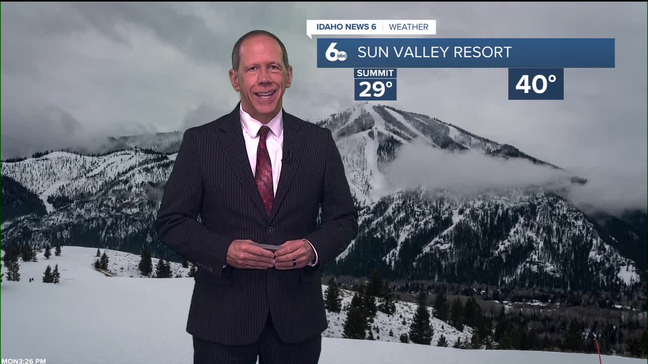
Mountain Snow Conditions for Ski Areas
The atmospheric river will bring moisture to Idaho's ski areas, but most precipitation will fall as rain at lower elevations due to warm temperatures and high snow levels. Snow levels will remain around 5,000 to 7,000 feet through Thursday morning, meaning only the highest elevation ski areas will receive significant new snowfall. Mountain resorts should expect rain at base elevations, with snow accumulation limited to upper mountain areas above 5,500 feet.

Extended Outlook: Gradual Cooling Pattern
A deep upper low off the coast of Northern California will slowly move inland Thursday, continuing precipitation over the area.
Temperatures on Thursday will still be 10 to 15 degrees above normal, cooling to 5 degrees above normal by Saturday. Snow levels will drop from 5,000 to 6,000 feet Thursday to 3,000 to 4,000 feet by Friday evening, hinting at wintry precipitation for lower elevations by Saturday.
Lower elevation valleys will likely see rain Friday, while mountains will see snow through Saturday early morning. Mostly dry conditions are expected Saturday through Monday, with temperatures holding steady just above normal as a ridge builds overhead.

Daily Forecast:
Tonight: Rain likely, mainly after 11 p.m. Patchy fog after 5 a.m. Otherwise, mostly cloudy, with a low around 43. East southeast wind 3 to 6 mph. Chance of precipitation is 70%.
Tuesday: A 30% chance of rain before 11 a.m. Patchy fog before 8 a.m. Otherwise, cloudy, with a high near 56. Light wind.
Tuesday Night: Mostly cloudy, with a low around 45. Southeast wind 5 to 9 mph.
Wednesday: Rain, mainly after 11 a.m. High near 57. East southeast wind 11 to 15 mph, with gusts as high as 25 mph. Chance of precipitation is 80%. New precipitation amounts between a tenth and quarter of an inch possible.
Wednesday Night: Rain. Low around 43. Chance of precipitation is 90%. New precipitation amounts between a quarter and half of an inch possible.
Thursday: A 50% chance of rain. Mostly cloudy, with a high near 56.
Thursday Night: Rain, mainly before 11 p.m. Low around 38. Chance of precipitation is 90%.
Friday: A 50% chance of rain. Mostly cloudy, with a high near 49.
Friday Night: A chance of rain before 2 a.m., then a slight chance of rain and snow. Mostly cloudy, with a low around 30. Chance of precipitation is 30%.
Saturday: Partly sunny & cooler, with a high near 42.
Saturday Night: Mostly cloudy, with a low around 26.
Sunday: Partly sunny, with a high near 42.
Sunday Night: Mostly cloudy, with a low around 26.
Monday: Mostly sunny, with a high near 44.
Stay connected right here for updates on our wet weather forecast!