

A Winter Weather Advisory has been expanded to include the Boise Mountain zone as a series of storm systems bring significant snowfall to central Idaho mountains, with wintry travel conditions expected above 4,000 feet through Thursday.
Current Conditions: Mountain Snow Continues
Precipitation continues across the area as an upper-level shortwave moves east of the region. With a low closing off the west coast, the better dynamics of this trough are positioned over mountain zones, where orographic lift aids in precipitation production.
While areas within and south/west of the Snake River Plain will dry out, the central Idaho mountains will experience snow showers through the majority of the period, creating ongoing challenges for mountain travel.

Tuesday Through Wednesday: Heaviest Snow Period
The most significant snowfall will occur Tuesday afternoon through Wednesday as a trough digs down across the area from northwesterly flow. Mid-level winds will switch to westerly with speeds of 30 to 50 knots around 9000 feet, creating favorable conditions for the enhancement of precipitation in mountain zones.
The winter weather advisory now extends from Tuesday afternoon through late Wednesday when the highest snowfall rates occur. The Long Valley of Idaho will see between 5 to 10 inches of snow, with 10 to 20 inches above 6,000 feet. Mountain valleys in the Boise Mountain zone will receive 3 to 7 inches, with 12 to 18 inches above 6,000 feet.

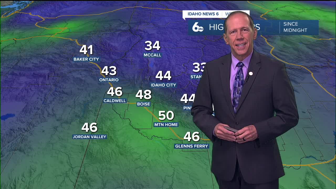
Mountain Snow Conditions and Travel Impacts
Gusty winds will create localized blowing and drifting snow in mountain valleys, significantly impacting travel conditions. Anyone traveling above 4,000 feet should prepare for wintry conditions through Thursday, with the heaviest impacts Tuesday afternoon through Wednesday night.
Ski areas will benefit tremendously from this snowfall, with substantial accumulations expected at all elevations. However, mountain pass travel will be challenging, and drivers should carry chains and emergency supplies when traveling in mountain areas.

Wednesday: Valley Transition to Snow
Precipitation will increase area-wide Wednesday as a cold front crosses the region. While the Snake River Plain will initially see rain Wednesday with snow levels at 4,000 to 5,000 feet, precipitation will begin changing to a wintry mix and snow as levels drop to valley floors with an extra surge of cold air and possibly a secondary cold front Wednesday afternoon.
By Thursday morning, snow will continue in mountain zones with additional forcing and moisture, while flurries develop in the lower Snake River Plain. The western Magic Valley could see around half an inch of accumulation Thursday morning, though precipitation chances will be declining on the backside of the departing trough.
Extended Outlook: Drying Pattern Returns
The period will start active Thursday with showers and breezy conditions as the region positions on the backside of the eastward-moving trough. Any chance of light snow at lower elevations will end by Thursday afternoon as showers retreat to the mountains.
An upper ridge will quickly build in from the coast Friday and Saturday, bringing drier weather. Some uncertainty exists for the weekend as models show a shortwave trough potentially moving into the Pacific Northwest Sunday, though it wouldn't bring much precipitation.
Overall, the region will be dry this weekend into next week, with temperatures warming in the mountains while valley temperatures lag. Development of an inversion would also introduce the potential for valley fog and stratus.

Daily Forecast:
Monday night: A 50% chance of rain. Mostly cloudy, with a low around 38. Light wind.
Tuesday: A 30% chance of rain, mainly after 11 a.m. Mostly cloudy, with a high near 50. Light wind.
Tuesday Night: Rain likely, mainly after 11 p.m. with a low around 38. Light southeast wind. Chance of precipitation is 60%.
Wednesday: Rain likely, mainly before 11 a.m. then breaking clouds, with a high near 48. Light wind. Chance of precipitation is 60%. New precipitation amounts between a tenth and quarter of an inch possible.
Wednesday Night: Possible rain to snow showers otherwise mostly cloudy, with a low around 30. Chance of precipitation is 50%. Little or no snow accumulation expected.
Thursday: Partly sunny & colder with snow showers, with a high near 40.
Thursday Night: Mostly cloudy & colder, with a low around 28.

Friday: Partly sunny, with a high near 42.
Friday Night: Partly cloudy, with a low around 26.
Saturday: Sunny, with a high near 42.
Saturday Night: Mostly clear, with a low around 25.
Sunday: Mostly sunny, with a high near 42.
Sunday Night: Partly cloudy, with a low around 24.
Monday: Mostly sunny with possible morning fog, with a high near 42.
Stay connected right here for updates to my forecast!