

After months of abnormal Winter weather, overnight showers brought rain and snow to the Gem state. More is on the way.
This first initial system is the most we will see in a 24 hour period but it isn't the last as the rest of this week still has more to come. Precipitation continues over the next four days with some form of rain or snow in the forecast until the weekend.
Along with all of this rain and snow also comes colder temperatures. The weekend saw beautiful 50's and the work week is getting cooler 40's and 30's as the highs. Overnight, the valley floors dip into the 20's meaning snow on the valley floor is still in the cards for some snow. It's hard to track whether it will stick or not because of the rain we are seeing but later this week could see a light blanket in the city.
Stay warm, stay dry, and if you get the chance, skiers and snowboarders enjoy the fresh powder!
Extended forecast:
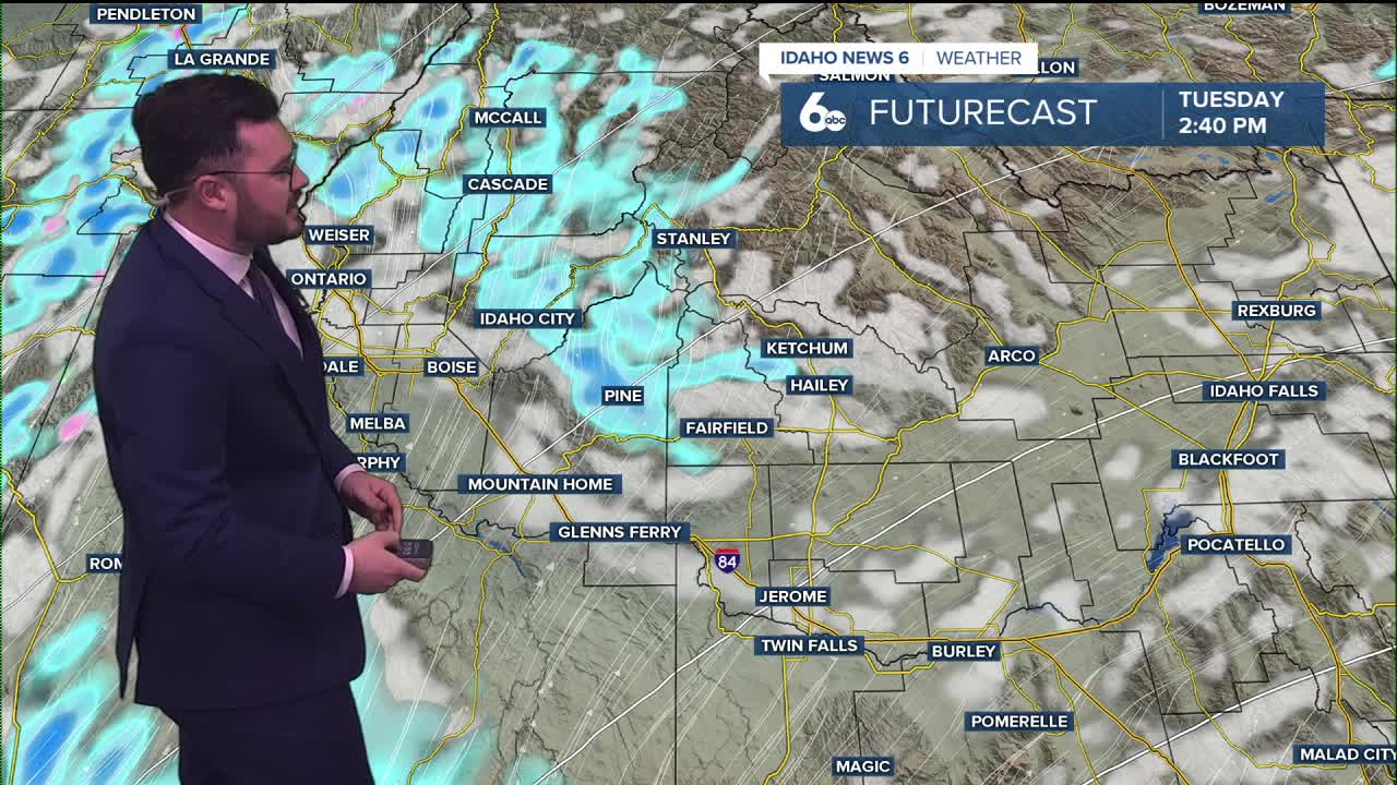
Tuesday
A slight chance of rain and snow showers before 8am, then a slight chance of snow showers between 8am and 11am, then a slight chance of rain and snow showers after 11am. Partly sunny, with a high near 45. Light east southeast wind becoming south 5 to 10 mph in the morning. Winds could gust as high as 21 mph. Chance of precipitation is 20%.
Wednesday
Snow showers likely, mainly before 11am. Mostly cloudy, with a high near 40. Light west wind becoming west northwest 5 to 10 mph in the morning. Winds could gust as high as 20 mph. Chance of precipitation is 60%. New snow accumulation of less than one inch possible.
Thursday
A 30 percent chance of snow showers, mainly after 11am. Partly sunny, with a high near 41. Little or no snow accumulation expected.
Friday
A 20 percent chance of snow before 11am. Partly sunny, with a high near 39.
Saturday
Partly sunny, with a high near 45.
Sunday
Partly sunny, with a high near 53.
Monday
Rain likely. Mostly cloudy, with a high near 55. Chance of precipitation is 60%.