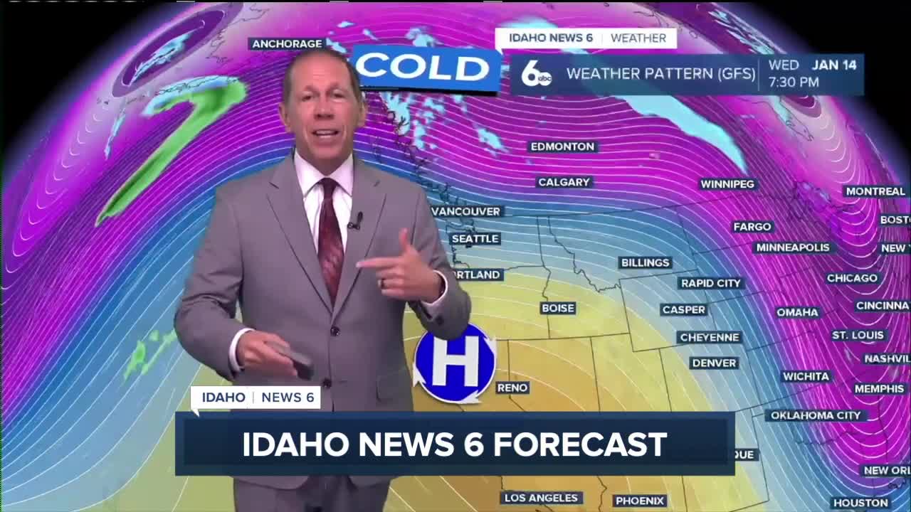


Western Idaho is transitioning from blustery winter conditions to a calmer, drier weather pattern as high pressure builds across the region. The active mountain snow and gusty winds are giving way to more stable conditions for the extended forecast period.
Current conditions winding down
Cool and unstable northwest flow continues through Friday, but the intense weather is subsiding. Breezy west to northwest winds from this afternoon will gradually diminish overnight as the weather system moves through.
Mountain areas may still see some snow showers this afternoon and again Friday, with the possibility of flurries extending into valley locations through this evening. However, these will be the final remnants of the winter weather system before conditions dry out completely.
Calming winds and clearing skies
The gusty conditions that made Thursday feel particularly cold and blustery are coming to an end. Winds will slowly subside overnight, bringing relief from the wind chill effects that made outdoor activities uncomfortable.
Friday will mark the beginning of calmer conditions as a ridge builds across the Western United States. Temperatures will moderate a few degrees each day as the high pressure system strengthens and stabilizes the atmosphere.

Extended dry period ahead
High pressure will dominate the weather pattern through next week, bringing near-zero chances for precipitation across most of western Idaho. The ridge will continue building and eventually develop into a closed high pressure system by Wednesday.
This pattern will support inversion development in valleys, creating stagnant air conditions. Morning fog and low clouds will become likely each day as moisture gets trapped near the surface under the high pressure dome.
The only slight chance for precipitation exists Monday through Tuesday in far northern areas, where the storm track may clip the region with a 10% chance of showers.
This story was reported on-air by a journalist and has been converted to this platform with the assistance of AI. Our editorial team verifies all reporting on all platforms for fairness and accuracy.

Day-by-day forecast
Thursday Night: Partly cloudy with a low around 28 degrees. Diminishing wind.
Friday: Partly sunny, then gradually becoming sunny, with a high near 42 degrees. Calm wind.
Friday Night: Mostly clear with a low around 26 degrees. Calm wind.

Saturday: Mostly sunny with a high near 43 degrees. Light wind.
Saturday Night: Mostly cloudy with a low around 26 degrees. Light wind.
Sunday: Mostly sunny with a high near 44 degrees.
Sunday Night: Partly cloudy with a low around 26 degrees.
Monday: Partly sunny with a high near 43 degrees.
Monday Night: Partly cloudy with a low around 29 degrees.
Tuesday: Partly sunny & milder with a high near 47 degrees.
Tuesday Night: Partly cloudy with a low around 30 degrees.
Wednesday: Sunny with a high near 48 degrees.
Wednesday Night: Mostly clear with a low around 29 degrees.
Thursday: Sunny with a high near 48 degrees.