

A dramatic weather pattern change will transform conditions across the Treasure Valley and central Idaho mountains this weekend, ending the recent stretch of warm, dry weather and ushering in the season's first significant mountain snowfall alongside beneficial valley rain.
An upper-level trough moving into the Pacific Northwest will bring widespread precipitation and much cooler temperatures starting Friday night, with snow levels dropping as low as 4,000 feet by Sunday morning.
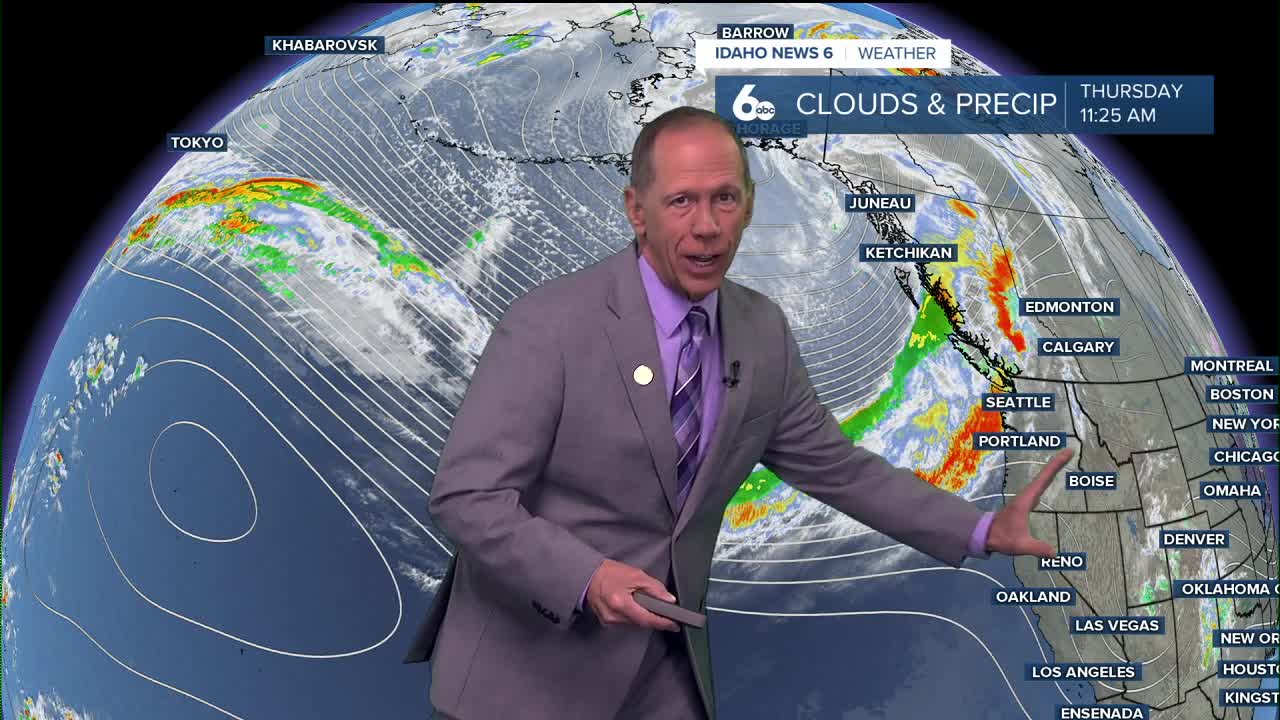
"This will be a notable transition from our recent mild conditions as this system will bring temperature drops of 15 to 20 degrees from Friday's highs near 72 degrees to weekend highs in the 50s and 60s.
Mountain snow accumulations expected
Central Idaho ski areas are preparing for their first substantial snowfall of the season. Snow levels will start around 7,000 to 8,000 feet Saturday morning but will drop rapidly to 4,000 to 5,000 feet by Saturday night as a cold front moves through.
The Boise mountains and west-central mountains could see 4 to 8 inches of new snow accumulation through Monday morning. Higher elevations above 6,000 feet may receive even more significant amounts as the atmospheric river event continues.
Mountain valleys (McCall, Cascade) could see a coating to two inchs of snow by early Sunday morning as snow levels continue to fall and any lingering precipitation moves through the area.

Travel impacts for mountain areas
The dropping snow levels will create challenging travel conditions for anyone heading to elevations above 4,000 feet this weekend. Mountain passes and higher elevation roadways should expect winter driving conditions beginning Saturday night.
Areas above 5,000 feet will likely see accumulating snow that could impact travel through Monday. Drivers planning trips to mountain destinations should prepare for winter conditions.
The combination of snow, wind gusts up to 50 mph in some areas, and rapidly changing conditions will make mountain travel particularly hazardous Saturday night through Sunday.
Valley rain brings relief
The Treasure Valley will experience its own dramatic shift, with much-needed rain arriving after the recent dry spell. Friday will be the warmest day, with temperatures reaching near 72 degrees - nearly 10 degrees above normal for late October.
Rain chances begin Friday night with a 20% chance of showers after midnight. Saturday brings a 70% chance of showers with temperatures dropping to the low 60s. The wet pattern continues through Sunday with a 60% chance of measurable precipitation.
Strong winds will accompany the weather change, with gusts potentially reaching 50 mph or higher across areas south of the Snake River Saturday afternoon. A Wind Advisory may be issued for these areas.
The valley could see 0.15 to 0.25 inches of precipitation through Monday morning, providing beneficial moisture after the recent dry spell.

Ski season implications
With snow levels dropping to 4,000 feet and several inches of accumulation expected above 6,000 feet, ski areas will receive their first meaningful snowpack of the season. Additional precipitation Sunday and Monday will add to the totals.
The timing aligns well with typical ski season preparations, giving resorts a foundation to build upon as winter approaches. Temperatures will need to stay cold enough to at least some of the snow but that could be difficult as milder spells are still likely between now and late November.
Extended outlook
Cooler temperatures and continued shower chances will persist through Monday before conditions begin to improve. Tuesday brings mostly sunny skies with highs in the mid-50s, followed by a gradual warming trend through the week.
Morning fog may develop in some areas as cool, moist air settles in valleys. By Wednesday and Thursday, temperatures will return closer to seasonal norms with partly sunny skies.

Daily forecast
Tonight: Mostly clear, with a low around 42. Light and variable wind.
Friday: Mostly sunny, with a high near 72. Calm wind becoming southeast 5 to 9 mph in the afternoon. Winds could gust as high as 21 mph.
Friday Night: A 20% chance of showers after midnight. Mostly cloudy, with a low around 51. East southeast wind 6 to 9 mph, with gusts as high as 21 mph.
Saturday: Showers likely. Cloudy, with a high near 62. South southwest wind 5 to 10 mph becoming east southeast in the afternoon. Chance of precipitation is 70%. New precipitation amounts between a tenth and quarter of an inch possible.
Saturday Night: Showers likely and possibly a thunderstorm. Mostly cloudy, with a low around 40. West southwest wind 3 to 8 mph. Winds could gust as high as 23 mph. Chance of precipitation is 70%.
Sunday: Showers likely, mainly after noon. Mostly cloudy, with a high near 53. Chance of precipitation is 60%.
Sunday Night: A 40% chance of showers. Mostly cloudy, with a low around 38.
Monday: Partly sunny with a slight chance of showers and a high near 52.
Tuesday: Mostly sunny, with a high near 54.
Wednesday: Mostly sunny, with a high near 61.
Thursday: Partly sunny, with a high near 58.
Stay connected right here for updates to my weekend forecast for mountain snow and valley rain.