


Wildfire smoke will continue to blanket much of southwest Idaho and southeast Oregon through the weekend, keeping skies hazy and air quality unhealthy at times.
The biggest weather change arrives Saturday as a dry cold front sweeps through the region. Ahead of the front, temperatures will stay very warm, but increasing southwest winds will shift to the west and northwest Saturday afternoon and evening. Gusts between 25 and 35 mph are expected, especially across open valleys, higher elevations, and wind-prone areas.
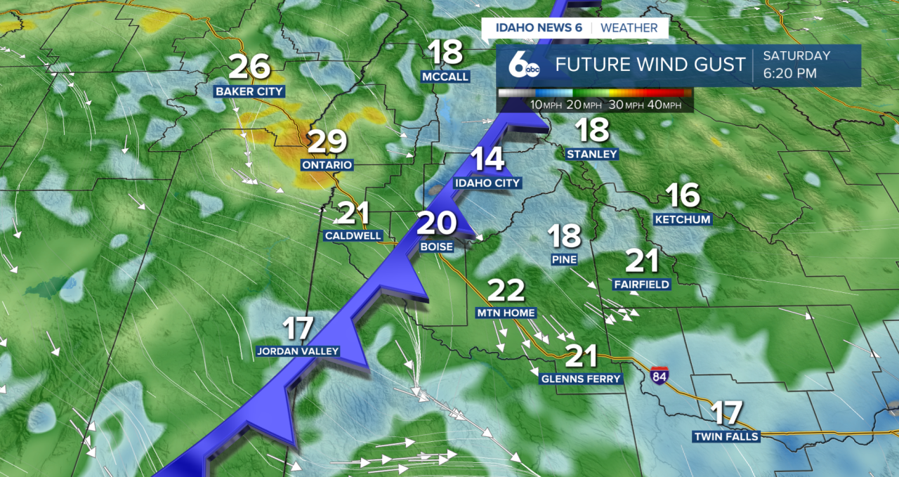
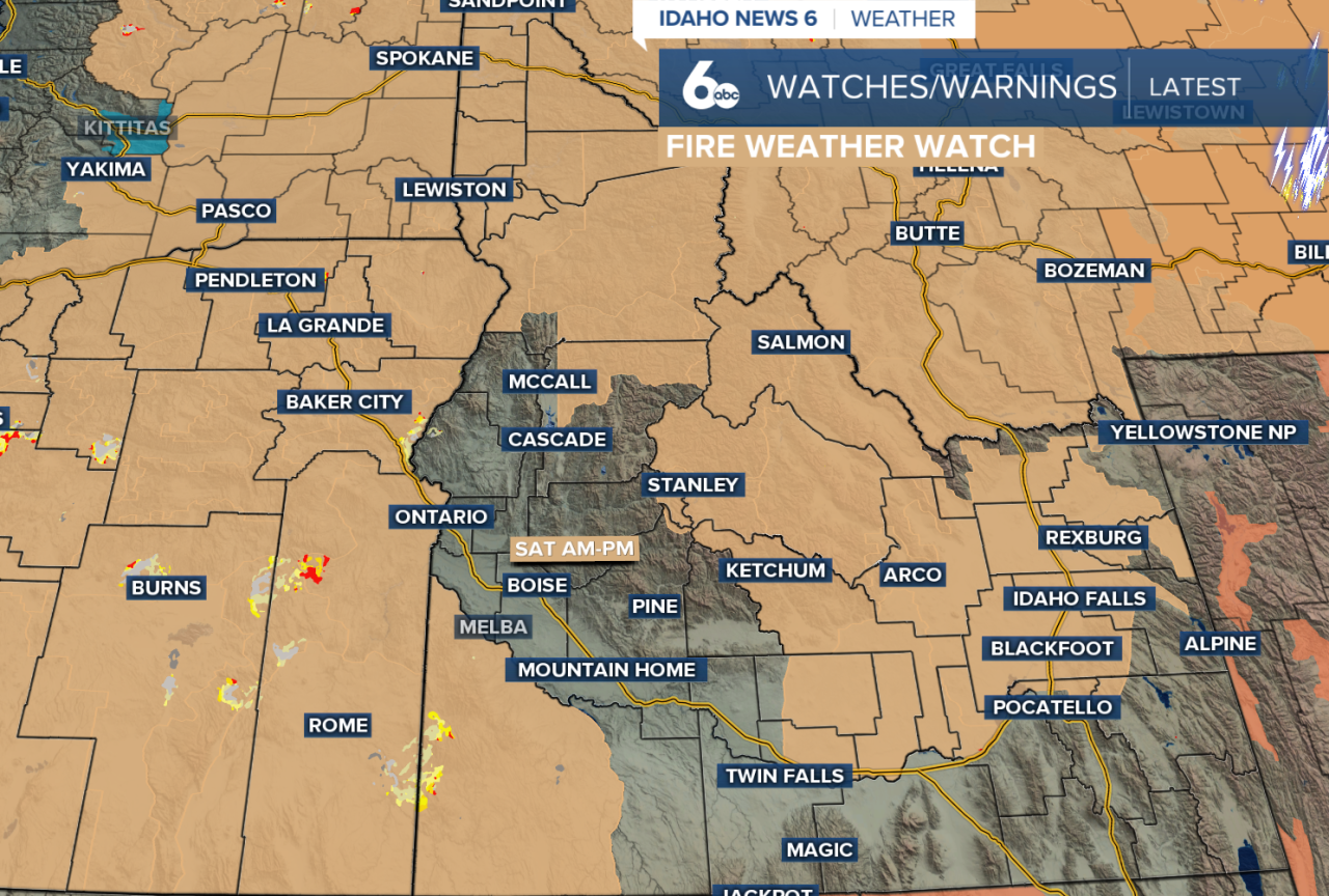
Those strong winds, combined with very dry air, will create critical fire weather conditions this weekend, meaning any new or existing fires could spread quickly. A fire weather watch is issued for Saturday for the Owyhee Mountains, Eastern Oregon, East Central Mountains, and portions of McCall.
The front will also bring some relief from the heat. High temperatures on Sunday will run about 5 to 10 degrees cooler than Saturday, although they'll still remain seasonably warm. Winds will stay breezy through Sunday before calming down early next week.
As for the wildfire smoke, there may be a brief improvement near the surface Saturday afternoon and evening as the stronger winds help mix the atmosphere. However, that improvement is expected to be temporary. Smoke from large wildfires burning across eastern Oregon will continue to drift into southwest Idaho through much of next week, keeping hazy skies and periods of degraded air quality in the forecast.
By the middle of next week, temperatures will climb back into the mid-90s under a drier weather pattern with little to no chance for rainfall, meaning there is still no widespread weather system expected to clear the smoke for good.
Treasure Valley Extended Forecast

