

A Pacific cold front is bringing much-needed moisture to the region, with rain expected to continue through the weekend and into next week as multiple weather systems move through the area.
Tonight Through Saturday: Light Rain and Mild Temperatures
The Pacific cold front will move across the region overnight and Friday morning, bringing light to moderate rain to northern mountains and light rain elsewhere. Temperatures will remain mild with overnight lows in the upper 30s through 40s, and snow levels staying above 8,000 feet.
Friday will be only a few degrees cooler than Thursday, with a 50% chance of rain before 11 a.m. The day will start cloudy but gradually clear, with highs reaching near 63 degrees.
Friday night will bring colder conditions as skies clear, with lows dropping to 25 to 32 degrees in the mountains and mid-30s to lower 40s in the valleys. Patchy fog may form in valleys early Saturday morning.
Saturday offers a brief respite with sunny skies and highs near 60 degrees before the next system approaches.
Sunday Through Thursday: Unsettled Weather Pattern
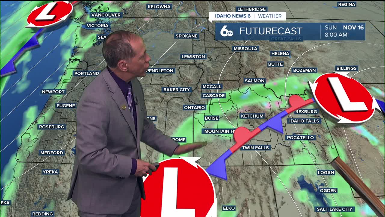
A more significant weather pattern develops Sunday as a Pacific upper low moves inland across southern California and into Nevada. This system will bring widespread showers across the region by sunrise Sunday, with a 40% chance of rain and highs near 53 degrees.
The unsettled weather continues into Monday as a trough from the Gulf of Alaska steers the system over the area. Rain is likely Sunday night and Monday morning, with snow levels remaining around 6,000 to 7,000 feet.
A cold front will move through Monday or Tuesday, lowering snow levels to 3,500 to 4,500 feet and bringing cooler temperatures. Tuesday's high will only reach 47 degrees with partly sunny skies.
Precipitation chances begin to taper off Wednesday, though another system is expected to arrive by late next week. Overall, residents should expect cool and unsettled conditions through the extended forecast period.
Daily Forecast
Tonight: Rain likely, mainly after 11 p.m. Cloudy, with a low around 49 degrees. East southeast wind 5 to 7 mph becoming calm after midnight. Chance of precipitation is 70%.
Friday: A 50% chance of rain before 11 a.m. Cloudy through mid morning, then gradual clearing, with a high near 63 degrees. Calm wind becoming southwest around 5 mph.
Friday Night: Mostly clear, with a low around 41 degrees. Calm wind.
Saturday: Sunny & pleasant, with a high near 60 degrees. Calm wind.
Saturday Night: Partly cloudy, with a low around 41 degrees.
Sunday: A 40% chance of rain. Mostly cloudy, with a high near 53 degrees.
Sunday Night: Rain likely, mainly before 11 p.m. Mostly cloudy, with a low around 41 degrees. Chance of precipitation is 60%.
Monday: Rain likely, mainly before 11 a.m. Mostly cloudy, with a high near 52 degrees. Chance of precipitation is 60%.
Tuesday: A 20% chance of rain. Partly sunny, with a high near 47 degrees.
Wednesday: A 20% chance of rain. Mostly sunny, with a high near 46 degrees.
Thursday: A chance of rain. Mostly cloudy, with a high near 45 degrees.
Weekend Plans
Saturday provides the best weather window for outdoor activities, with sunny skies and pleasant temperatures near 60 degrees. Sunday marks the return of rainy conditions that will persist through much of next week.
Stay connected right here for updates on our changing weather pattern!