

A powerful Pacific storm system will bring widespread precipitation to the Treasure Valley and central Idaho mountains this weekend, with valley rain beginning very early Saturday morning and mountain snow accumulations reaching up to a foot at higher elevations.
The storm will deliver two distinct phases of weather, starting with valley rain Saturday morning and transitioning to significant mountain snowfall as snow levels drop to 4,000 feet by Sunday.
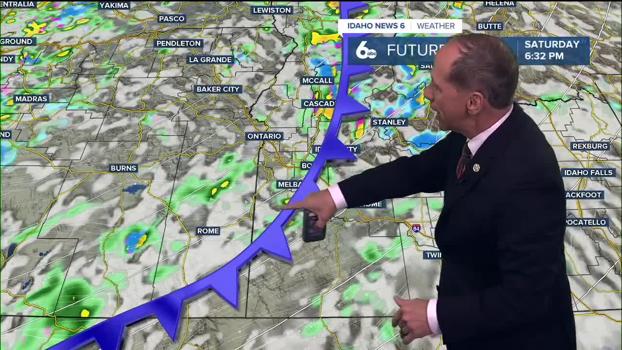
This will be the most impactful weather event we've seen in quite some time. The system will bring strong winds, heavy precipitation, and the season's first major mountain snowfall.
Valley rain timeline
Rain chances begin tonight with a 40% chance of showers after midnight in eastern Oregon. Saturday brings the main event with a 90% chance of showers and highs near 61 degrees.
The Treasure Valley could see up to 0.20 inches of precipitation Saturday, though rain shadowing from the Owyhee Mountains due to strong mid-level winds may limit amounts in some areas. Two frontal passages will move through Saturday - the first during the morning hours, followed by a much stronger second front Saturday afternoon and evening. This front will bring scattered storms with very gusty winds.
Sunday continues the wet pattern with a 60% chance of showers, mainly after noon, as temperatures drop to the mid-50s.
Significant mountain snow expected
Central Idaho mountains will see their most substantial snowfall of the season as snow levels plummet from 7,500 feet Saturday morning to near 4,000 feet by Sunday. The transition from rain to snow will occur late Saturday night following the cold front passage.
Higher elevations above 6,500 feet could see around a foot of snowfall through Monday morning. Lower mountain valleys will receive far less, with 1 to 3 inches possible above 4,500 feet.
McCall has about a 10% chance to exceed 4 inches of snow Sunday, marking a significant early-season snowfall for the popular mountain destination.
Mountain travel impacts
The combination of heavy snow and strong winds will create dangerous travel conditions in mountain areas beginning Saturday night. Snow levels dropping to 4,000 feet means many mountain passes and higher elevation roadways will experience winter conditions.
Drivers planning trips through mountain destinations should prepare for rapidly changing conditions. The most hazardous conditions are expected Saturday night through Sunday as the cold front moves through.
Areas above 4,500 feet should expect accumulating snow that could significantly impact travel through Monday morning.
Ski area benefits
This storm represents good news for central Idaho ski resorts preparing for the upcoming season. The foot of snow possible at higher elevations will provide a solid foundation for winter operations.
With snow levels dropping to 4,000 feet and significant accumulations expected above 6,500 feet, ski areas will receive their most substantial early-season snowfall in recent memory.
Although warmer temperatures next week will melt much of this early season snow.
Extended outlook
Cooler temperatures and lingering shower chances will continue Monday and Tuesday in the higher elevations, with dry weather both days in the valley.
By midday Tuesday, an upper-level ridge will build overhead, bringing mostly sunny skies and highs in the upper 50s. Wednesday looks mostly sunny with temperatures near 59 degrees before another weather system approaches late in the week.
Daily forecast
Tonight: A 40% chance of showers after midnight. Increasing clouds, with a low around 49. Southeast wind 8 to 13 mph becoming light and variable. Winds could gust as high as 24 mph.
Saturday: Showers in the morning with a possible break in the early afternoon then a chance for storms in the evening. High near 61. North wind 6 to 14 mph. Winds could gust as high as 25 mph. Chance of precipitation is 90%. New precipitation amounts between a tenth and quarter of an inch possible.
Saturday Night: Showers likely and possibly a thunderstorm. Mostly cloudy, with a low around 38. West northwest wind 5 to 10 mph becoming light and variable after midnight. Winds could gust as high as 21 mph. Chance of precipitation is 70%.
Sunday: Dry in the morning then showers likely, mainly after noon. Mostly cloudy, with a high near 53. South wind 5 to 9 mph. Chance of precipitation is 60%.
Sunday Night: A 50% chance of showers, mainly before midnight. Mostly cloudy, with a low around 37. South wind 5 to 7 mph.
Monday: Partly sunny & quite cool, with a high near 52.
Tuesday: Mostly sunny, with a high near 57.
Wednesday: Mostly sunny, with a high near 59.
Thursday: Mostly sunny, with a high near 56.
Friday: Partly sunny with a 20% chance of showers and a high near 58.