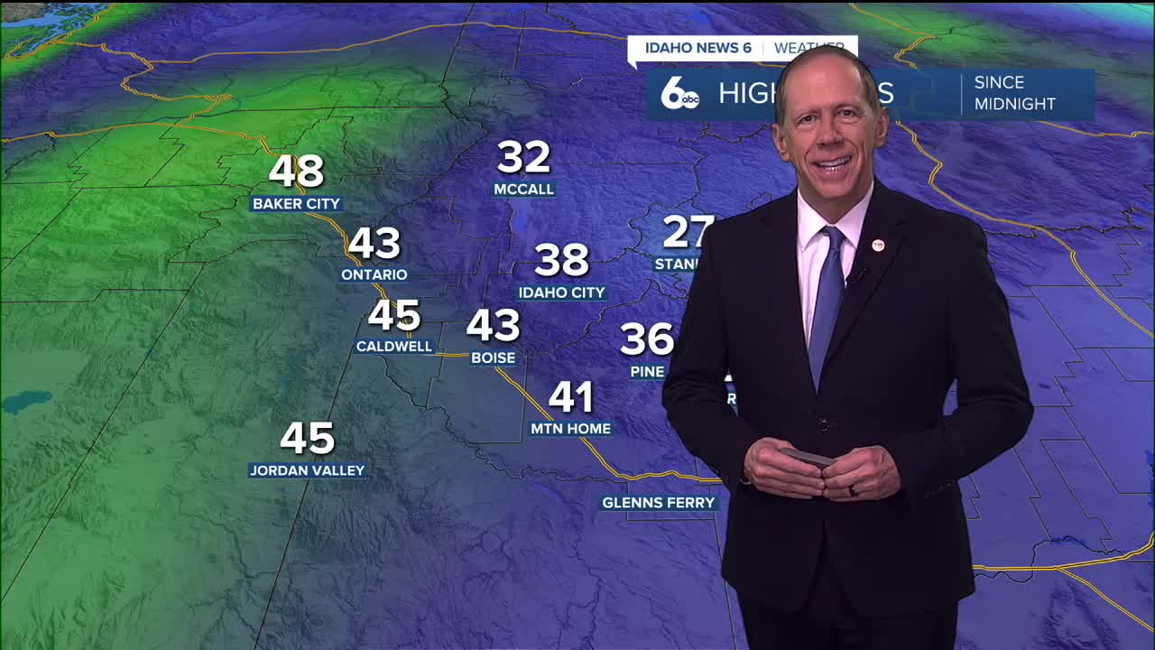
Morning snow creates moisture for fog development
Wednesday morning's light snow melted in the valleys during the afternoon, moistening the lower atmospheric layers and setting the stage for more fog development than initially forecast. The added moisture from the melting snow will likely lead to more extensive valley fog tonight.
However, increasing higher clouds late Wednesday night should limit further fog development as cloud cover prevents additional radiational cooling at the surface.
Northern areas see continued light snow
A weak Pacific upper trough will move inland through the main ridge Wednesday night and Thursday, bringing flurries or light snow showers to the northern third of the forecast area. Total snowfall from this system will be less than one inch, with the most activity expected across Baker County and the West Central Mountains.
Inversion pattern strengthens
After the weak trough passes, the main upper ridge will re-amplify, making temperature inversions in the valleys stronger Thursday night through Friday night and beyond. This strengthening inversion will create more pronounced temperature differences between valley and mountain locations.
Valley temperatures will show little day-to-day change, while higher elevations will be several degrees warmer Friday as the ridge strengthens overhead.
Weekend brings persistent dry conditions
Dry conditions will continue over the weekend, with high pressure staying in place over the region until Monday. Temperatures will remain near or slightly above normal, though cold pools from inversions could potentially allow colder than forecast temperatures in area valleys.
These inversions will also lead to patchy valley fog and low stratus overnight, enhanced by moisture from recent precipitation that has saturated the lower atmosphere.
Monday system approaches
By late Monday, a shortwave trough will move through the region, bringing light precipitation with slightly elevated winds. Current forecasts highlight the northern reaches of the forecast area, including Baker County and the West Central Mountains, for the best chance of precipitation with around a 20 to 40% chance.
Snow levels will generally range between 4,000 and 5,000 feet above sea level, although cold pools lingering in sheltered valleys could see snow levels drop to valley floors in some locations.
Forecast uncertainty remains
Confidence remains high that this quick-hitting system will pass through the area, but there remains significant variation among weather models regarding the extent of precipitation reaching southern portions of the forecast area.
After this trough moves east Tuesday, the persistent ridge will build back in for Wednesday, bringing a return to dry conditions and potentially strengthening inversion patterns once again.
Daily forecast breakdown
Wednesday night Increasing clouds with a low around 29 degrees. Light wind. Valley fog likely due to moisture from melting snow.
Thursday Mostly cloudy conditions with a high near 43 degrees. Light west winds. Flurries possible in central mountain areas.
Thursday night Mostly cloudy skies with a low around 31 degrees. Calm winds as the inversion strengthens.
Friday Mostly cloudy conditions with a high near 44 degrees. Light winds. Higher elevations several degrees warmer.
Friday night Mostly cloudy skies with a low around 33 degrees. Calm winds with strengthening inversion.
Saturday Mostly cloudy conditions with a high near 44 degrees as high pressure dominates.
Saturday night Mostly cloudy skies with a low around 32 degrees. Patchy valley fog possible.
Sunday Mostly cloudy conditions with a high near 44 degrees. Inversion effects continue.
Sunday night Mostly cloudy skies with a low around 32 degrees. Valley fog and low stratus likely.
Monday Partly sunny conditions with a high near 45 degrees as the shortwave approaches.
Monday night Partly cloudy skies with a low around 30 degrees. Light precipitation possible in central mountain areas.
Tuesday Mostly sunny conditions with a high near 44 degrees as the trough moves east.
Tuesday night Mostly clear skies with a low around 29 degrees as high pressure rebuilds.
Wednesday Mostly sunny conditions with a high near 43 degrees as dry conditions return.
Stay connected for updates on our weekend weather.


