

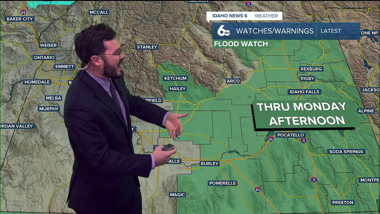


Large amounts of rain continue to stream into eastern Idaho, causing flood watches for parts of the state. Showers will die down Monday evening as temperatures begin to climb again.
Along with the cooler weather, this weekend brought tons of showers to the Gem State as precipitation from Hurricane Rachel moved in from the Pacific. The rain impacted Nevada and Utah before hitting Idaho, and most of the eastern part of the state will be under a flood watch until Monday afternoon.
The cold front that arrived over the weekend will have temperatures trending cooler to start the work week. 50s are expected as the high for the valley floors, but just as quick as the temperatures fell, they climb again this week. Conditions by the weekend are set to return to the 70s. Rain subsides by Tuesday night across Idaho, and clear, warm, and dry weather will replace it.
Extended outlooks for October 18-22 have all of Idaho and most of the western U.S. warmer than normal. Southern Idaho is also trending drier, so it looks like the showers and cool down of this weekend won't be the standard moving forward.
Have a good start to your week, Idaho! Warmer and drier weather arrives this week.
