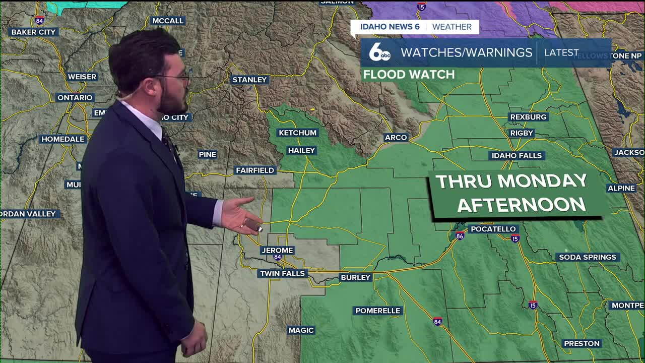


Eastern Idaho saw tons of rain pass through Sunday, and the showers continue Monday as more precipitation from Hurricane Rachel hits the Gem State.
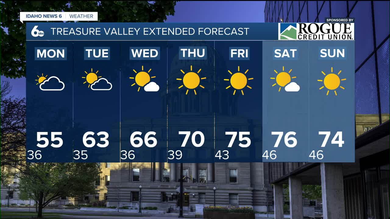
On the western side of Idaho, things are calmer. That big cold front is still impacting us, dropping temperatures into the 50s for valley floors and 40s for mountain ranges. That trend continues to kick off our work week, but the warmer weather is returning sooner than you think.
WATCH | See what the precipitation outlook is this week—
The Magic Valley has chances of rain and snow mixes to start off Monday, with less rain into the evening. By Tuesday, we should see that cold front begin to exit and clearer skies with warmer weather start to move in. Next weekend is projected to have 70s and sunshine back on the valley floors, making for a really beautiful Saturday and Sunday.
The extended outlook once again has Idaho trending warmer and drier into the middle and later part of October. This trend of short stints with cooler conditions hopefully doesn't last into the winter. As much as I have enjoyed the warm and dry weather, Idaho is in need of some wetter and cooler days to make up for last year's winter.
Have a great week and stay warm to start. The weekend should have us back to really comfortable weather!