

Current conditions and short-term outlook
The weather pattern remains dry and stable as an upper ridge continues over the region, effectively blocking the storm track. The ridge is slowly moving directly overhead, bringing warmer air aloft and strengthening the temperature inversion that has plagued the area for days.
This strengthening inversion will continue bringing fog, low clouds, colder temperatures, and reduced air quality for lower elevations through Monday. Meanwhile, higher terrain will experience temperatures at or above normal with clear skies, creating a stark contrast between valley and mountain conditions.
Weekend fog pattern evolving
Fog has mostly lifted to stratus clouds Saturday, and will likely repeat this pattern in the following afternoons with some brief clearing possible. However, overnight, stratus will settle back down and dense fog will redevelop each morning.
Meteorologists note some concern about the fog pattern's persistence. The southeast winds observed Saturday should have dissipated more of the stratus deck than actually occurred, raising questions about whether clouds will show any meaningful clearing in the coming days when southeast winds are not forecast.
Air quality concerns mounting
As the inversion strengthens, air quality continues to deteriorate in lower elevations. The stagnant atmospheric conditions trap pollutants near the surface, creating unhealthy conditions for sensitive groups and potentially affecting the broader population if the pattern persists.
Pattern change on the horizon
Early week continuation
The ridge will remain overhead with northwesterly flow through Thursday morning. This period will see continued low elevation stagnant air, fog, colder temperatures, and reduced air quality as the inversion experiences what forecasters hope are its final days.
Significant changes ahead
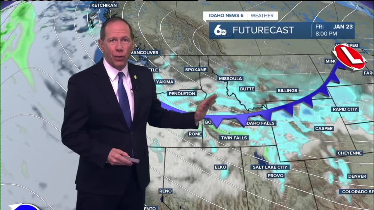
Thursday and especially Friday, the pattern begins to change significantly as a deep Hudson Bay low brings arctic air over much of the United States. The Treasure Valley will move into the western influence of this powerful system.
This pattern change will open the door for shortwaves and moisture to finally bring some precipitation and atmospheric mixing to break up the stagnant and dry conditions that have dominated the region.

Forecast uncertainty
The forecast currently hinges on a shortwave and the position of the Hudson Bay low, which have yet to be solidified among weather models. Ensemble clusters still show some potential for the low's influence to miss the region entirely.
However, the strength of the approaching low should at least bring winds to help mix out the inversion or significantly weaken it, even if precipitation misses the area.

Daily forecast breakdown
Saturday night Areas of fog developing after 8 p.m. Otherwise, partly cloudy with a low around 26 degrees. Calm winds.
Sunday Areas of fog before 1 p.m., then mostly cloudy with a high near 37 degrees. Calm winds continue.
Sunday night Patchy fog developing after 8 p.m. Otherwise, mostly clear with a low around 23 degrees. Calm winds.
Martin Luther King Jr. Day (Monday) Patchy fog before noon, then clouds breaking with a high near 37 degrees. Calm winds persist.
Monday night Patchy fog after 8 p.m. Otherwise, mostly clear with a low around 26 degrees. Calm winds.

Tuesday Patchy fog before 1 p.m., then afternoon clearing with a high near 45 degrees as conditions begin showing signs of improvement.
Tuesday night Partly cloudy skies with a low around 26 degrees as the pattern begins its transition.
Wednesday Mostly sunny conditions with a high near 46 degrees. The ridge maintains control but begins weakening.
Wednesday night Mostly cloudy skies with a low around 28 degrees as the weather pattern continues shifting.
Thursday Mostly sunny conditions with a high near 46 degrees as the pattern change begins taking effect.
Thursday night Partly cloudy skies with a low around 30 degrees. Winds may begin increasing as the Hudson Bay low approaches.
Friday Mostly cloudy conditions with a high near 45 degrees as the significant pattern change arrives.
Friday night A slight chance of rain and snow develops. Mostly cloudy with a low around 30 degrees. Chance of precipitation is 20%.
Saturday A slight chance of rain and snow continues. Partly sunny with a high near 47 degrees. Chance of precipitation is 20%.