

Treasure Valley inversion strengthens as stratus deck expands across region, Persistent inversion shows no signs of improvement
A strong upper-level ridge remains the dominant weather feature over the region, maintaining a steep temperature inversion and stagnant conditions that continue to plague lower elevations. Visible satellite imagery shows no significant changes to the persistent stratus deck entrenched across the Snake Plain and the lower valleys of southeast Oregon.
Rather than showing signs of improvement, the stratus deck is actually expanding across southeast Oregon. This expansion is expected to reach the lower valleys of Harney County, including Burns, Monday night and persist through Wednesday.
Temperature inversion creates stark contrasts
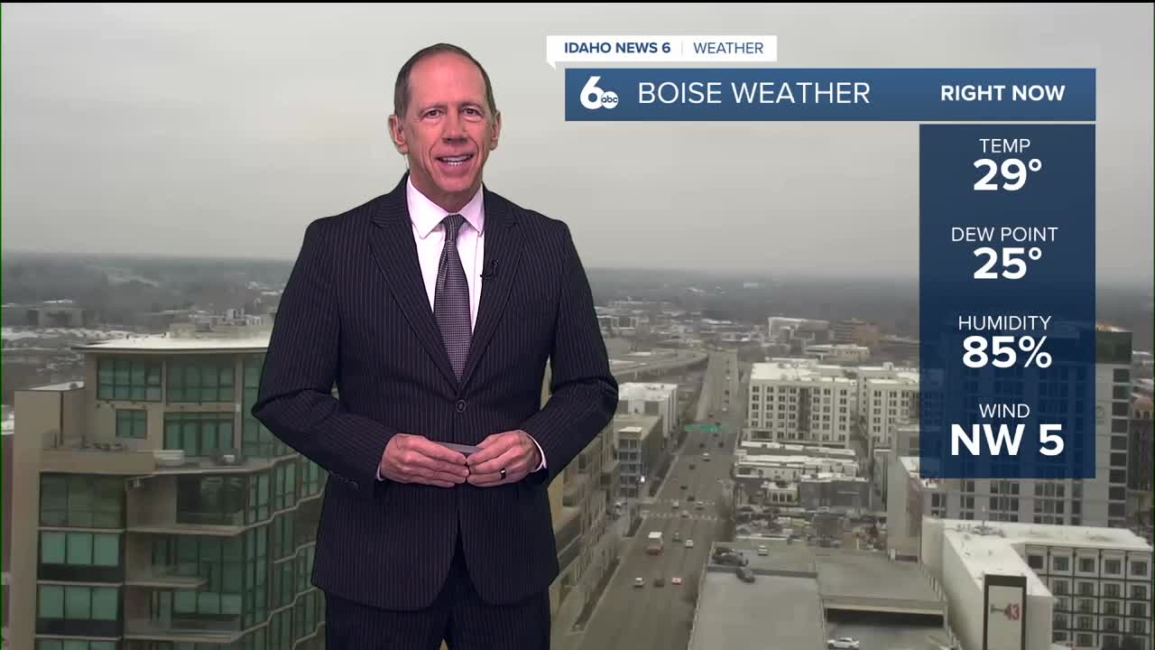
The temperature inversion continues creating dramatic differences between valley and mountain locations. Valley areas will struggle to warm out of the freezing range, with highs only reaching the low 30s Tuesday and Wednesday.
Meanwhile, mountain locations above the inversion layer, roughly 5,000 to 6,000 feet above sea level, will experience mostly sunny skies and mild temperatures in the 40s and low 50s.
Forecast challenges persist
Weather models have poorly handled the stratus and resulting temperatures throughout this event, particularly the National Blend of Models, which historically underperforms during valley inversion events. Consequently, forecasters are weighing persistence heavily against statistical guidance.
Widespread low clouds will remain trapped within the cold pools of the Treasure Valley, Snake Plain, and Baker Valley. Patchy dense fog is likely again during late night and morning hours where the stratus intersects the terrain.
Minor weather activity possible
A weak shortwave trough passing well east of the forecast area early Tuesday is unlikely to be strong enough to erode the stratus deck. However, an increase in mid-level clouds Tuesday morning could help produce occasional light snow flurries in the lower stratus-filled valleys as the higher clouds seed the lower deck. Little to no accumulation is expected from this minor weather event.
Long-term pattern evolution
Mid-week persistence
Little change is expected through Wednesday as the ridge axis shifts slowly overhead, with valley stratus and fog heavily influencing daily high and low temperatures in the lower elevations.
Potential relief ahead
The latest model trends appear to be holding firm for the end of the week. A cutoff low will set up off the California coast while a Great Lakes low becomes the primary driver of weather over the continental United States.
For the Treasure Valley, this means relatively insignificant weather in the deformation zone with some increased clouds and a redeveloped ridge off the Pacific Northwest coast.
Check out my 60-second ScottScore Forecast through the weekend
Weekend improvement possible
The Great Lakes low's large pressure gradient moves into the mid-levels, and combined with some cloud cover and colder air aloft, this may be enough to briefly weaken or break the inversion Friday and Saturday before the ridge returns Sunday.
Precipitation chances pushed back
The potential for meaningful precipitation has been pushed back to Sunday and Monday, with the main component being warm and moist zonal flow setting up Monday. This represents a more reliable source of precipitation than the eastern edge of a Great Lakes low would provide.
However, current forecasts show the region just on the southern edge of the moisture, with some hints of ridging still persisting off the coast.
Daily forecast breakdown
Monday night Mostly cloudy with occasional light snow possible after 11 p.m. Low around 26 degrees with calm winds. Little or no snow accumulation expected.
Tuesday Cloudy with occasional light snow possible before 11 a.m. High near 33 degrees with light and variable winds. Little or no snow accumulation expected.
Tuesday night Cloudy skies with a low around 26 degrees. Calm winds.
Wednesday Cloudy conditions continue with a high near 33 degrees. Calm winds persist.
Wednesday night Mostly cloudy skies with a low around 24 degrees. Calm winds.
Thursday Partly sunny conditions develop with a high near 41 degrees as the pattern begins showing signs of change.
Thursday night Partly cloudy skies with a low around 24 degrees.
Friday Mostly sunny conditions with a high near 43 degrees as the inversion potentially weakens.
Friday night Mostly clear skies with a low around 24 degrees.
Saturday Mostly sunny conditions continue with a high near 43 degrees.
Saturday night Partly cloudy skies with a low around 27 degrees as the ridge begins returning.
Sunday Mostly sunny conditions with a high near 45 degrees.
Sunday night A slight chance of rain and snow develops. Mostly cloudy with a low around 30 degrees. Chance of precipitation is 20%.
Monday Partly sunny conditions with a high near 47 degrees as zonal flow potentially brings moisture to the region.