

Persistent pattern shows no signs of change
The forecast remains strongly tied to persistence, with weather models and statistical guidance essentially unchanged from day to day through Thursday night. Meteorologists are simply correcting model output to match recent observed values as the stubborn inversion pattern continues its grip on the region.
The top of the valley inversion will remain near 4,000 feet above sea level in Oregon, sloping to 4,500 feet above sea level in Idaho. This creates a clear dividing line between cloudy, cold weather with patchy night and morning fog below those levels, and mostly clear skies with mild daytime temperatures above.
Temperature contrasts persist
The dramatic temperature differences between valley and mountain locations continue to define the weather story. Valley areas will struggle with highs only reaching around 31 degrees Wednesday and Thursday, while mountain locations above the inversion enjoy mild conditions.
Nights will be particularly cold across all elevations, with good radiational cooling occurring under mostly clear skies above the inversion layer. Light winds will persist throughout the period, contributing to the stagnant atmospheric conditions.
Weekend outlook brings uncertainty - Potential mixing Friday through weekend
The back end of a mostly dry longwave trough will steer eastward Friday through the weekend, continuing northwest flow and dry conditions through early next week. The northwest flow will bring cooler air aloft, which may help mix out valley stratus and fog.
However, uncertainty over this potential improvement remains high, as weather models show significant disagreement about the strength and timing of any inversion breakdown.
Ridge returns early next week

A large upper-level ridge will build into the region late Sunday through Tuesday, creating concern among forecasters. This strong ridging pattern will likely return warm air aloft and valley inversions, potentially setting up another extended period of poor valley conditions.
If this projected pattern holds, valleys would again experience below-normal temperatures and inversion stratus while mountains see above-normal temperatures throughout the extended period. For now, forecasters are planning for an inversion pattern to remain in place for early next week.
Mountain snow chances

Most weather guidance suggests the ridge may steer some remnant Pacific moisture over the central mountains of eastern Oregon and western Idaho, favoring small chances of mountain snowfall late Monday. This would primarily affect higher elevations above the inversion layer.

Daily forecast breakdown
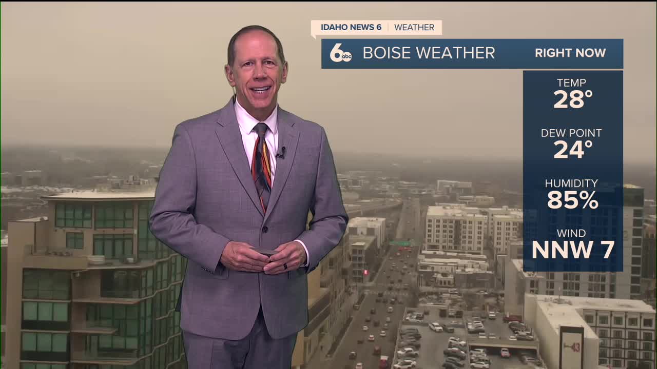
Tuesday night Patchy fog developing after 2 a.m. Otherwise, cloudy with a low around 25 degrees. Calm winds.
Wednesday Patchy fog before 11 a.m., then cloudy with a high near 31 degrees. Calm winds continue.
Wednesday night Patchy fog after 11 p.m. Otherwise, cloudy with a low around 25 degrees. Calm winds.
Thursday Patchy fog before 11 a.m., then cloudy with a high near 31 degrees. Calm winds persist.
Thursday night Patchy fog after 11 p.m. Otherwise, cloudy with a low around 25 degrees. Calm winds.
Friday Patchy fog before 11 a.m., then breaking clouds Boise east with a high near 32 degrees as northwest flow potentially begins mixing the atmosphere.
Friday night Patchy fog after 11 p.m. Otherwise, mostly clear with a low around 21 degrees as radiational cooling increases.
Saturday Patchy fog before 8 a.m., then partly cloudy with a high near 32 degrees. Continued northwest flow may help clear valley conditions.
Saturday night Patchy fog after 11 p.m. Otherwise, mostly clear with a low around 22 degrees.
Sunday Patchy fog before 8 a.m., then partly cloudy with a high near 33 degrees as conditions show slight improvement.
Sunday night Mostly cloudy skies with a low around 27 degrees as the ridge begins building back in.
Monday Mostly cloudy conditions with a high near 35 degrees. Mountain snow chances develop late in the day.
Monday night Patchy fog returns. Otherwise, mostly cloudy with a low around 28 degrees as inversion conditions potentially redevelop.
Tuesday Patchy fog possible, then mostly sunny with a high near 39 degrees as the new ridge pattern establishes itself.
Stay connected right here for updates on when our inversion will break.