

Gradual improvement underway
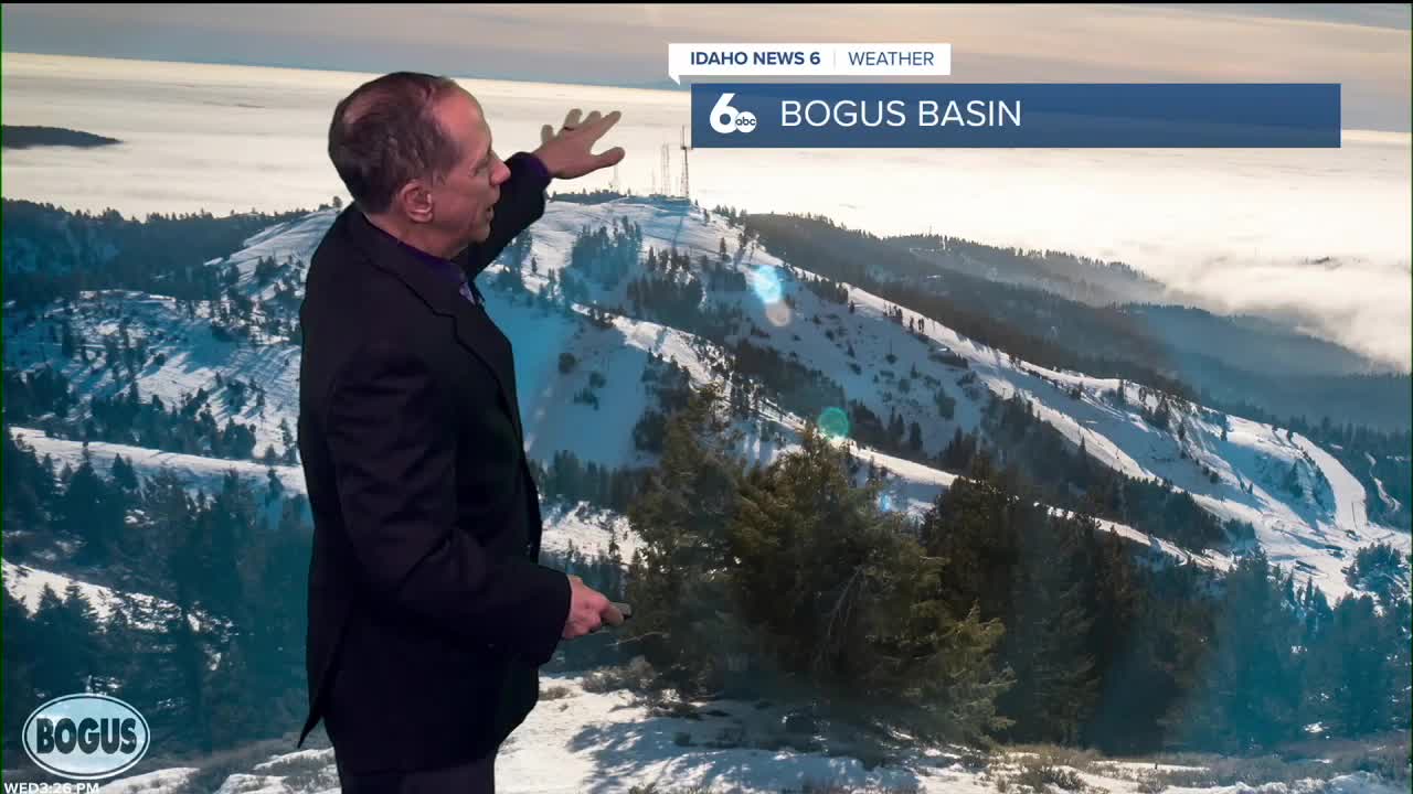
The persistent temperature inversion that has gripped the Treasure Valley for over a week is finally showing signs of weakening. While valleys below 5,000 feet above sea level remain overcast, conditions are several degrees warmer than Tuesday, and cloud ceilings are notably higher. There's also less fog in the valleys compared to recent days.
Despite these encouraging signs, persistence remains the main theme through early Friday as the stubborn weather pattern continues to dominate the region.
Relief arrives Friday
A significant change is expected Friday when a dry surface cold front supported by an upper-level shortwave trough moves in from the north. This system will weaken and potentially break the inversion for a day or two, while light to moderate northwest surface winds provide enough vertical mixing to end the Air Stagnation Advisory that has been in effect.
Friday night will be colder, especially aloft, and dry enough to decrease the stratus clouds that have blanketed the valleys for days.
Weekend brings continued improvement - Saturday and Sunday outlook
Dry conditions will continue Saturday and Sunday as the back end of the trough brings northwest flow over the region. The cooler air aloft may help break up the valley inversions and fog early Saturday, gradually warming valley temperatures through the weekend and into next week.
Saturday is forecast to be sunny with highs near 36 degrees, while Sunday will see continued sunny skies with temperatures climbing to around 40 degrees.
Next week's pattern evolution - Early week conditions
A weak ridge will build in Sunday through Monday, possibly returning some temperature inversion conditions. However, any inversion development is expected to be much weaker than the recent prolonged event.
A weak trough will dig across the upper Rockies late Monday through early Tuesday, likely bringing light snow over the central mountains of eastern Oregon and western Idaho Monday. This mountain snow will primarily affect areas above the valley floors.
Mid-week outlook
A well-defined ridge will build into the region by Wednesday, sustaining drier conditions and returning the possibility of valley inversions by mid-week. However, forecasters expect any future inversion events to be less severe than the current pattern.
Daily forecast breakdown
Wednesday night Increasing clouds with a low around 25 degrees. Calm winds.
Thursday Cloudy conditions with a high near 33 degrees. Light west-northwest winds develop.
Thursday night Cloudy skies continue with a low around 25 degrees. Light west-northwest winds.
Friday Cloudy through mid-morning, then gradual clearing with a high near 36 degrees. Light wind.
Friday night Mostly clear skies with a low around 22 degrees. Light wind.
Saturday Sunny conditions return with a high near 36 degrees as the inversion breaks.
Saturday night Mostly clear skies with a low around 20 degrees under good radiational cooling.
Sunday Sunny skies continue with a high near 40 degrees as temperatures begin recovering.
Sunday night Partly cloudy conditions with a low around 24 degrees as the weak ridge begins building.
Monday Partly sunny skies with a high near 41 degrees. Mountain snow develops late in the day.
Monday night Mostly cloudy conditions with a low around 26 degrees as the weak trough moves through.
Tuesday Mostly sunny skies with a high near 44 degrees as conditions continue improving.
Tuesday night Partly cloudy conditions with a low around 28 degrees.
Wednesday Partly sunny skies with a high near 47 degrees as the new ridge pattern establishes itself.
Stay connected right here for more on our breaking inversion.