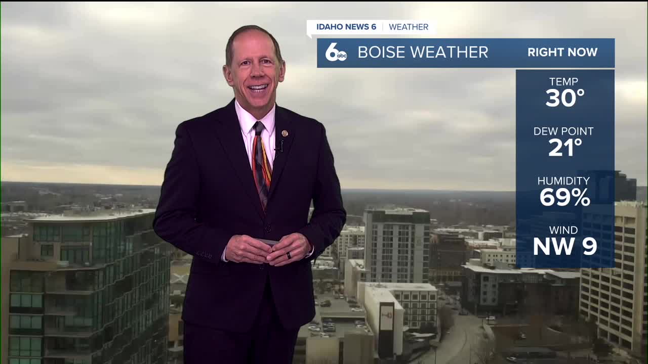
The persistent temperature inversion that has gripped the Treasure Valley for over a week is finally breaking down as drier, colder air works in on northerly flow aloft. Low clouds have begun eroding Friday afternoon, marking the beginning of the end for the stubborn weather pattern.
Drying aloft will continue through Friday night, expanding the erosion of clouds across portions of southeast Oregon and the lower Snake Plain. In the Snake Plain, Boise sits on the edge of clearing overnight, with areas to the south and east likely remaining under clouds through midday Saturday.
I have growing confidence that all areas will break out of the low clouds by Saturday afternoon, finally ending the extended period of poor valley conditions.
Weekend brings clear, cold conditions
Saturday outlook
Saturday will feature a transition from partly sunny to gradually becoming sunny, with highs near 34 degrees. While temperatures remain below normal, the return of sunshine will be a welcome change after more than a week of overcast skies.
A secondary trough will drop along the Continental Divide Sunday, keeping the region in cold northerly flow. While temperatures will remain below normal, this pattern will prevent any widespread fog or low clouds from developing through Sunday night.
Precipitation stays away
Any precipitation threat from the upper-level waves moving through the region remains well east of the area, keeping conditions dry through the weekend.
Next week outlook shows mixed signals
Early week warming
A slight warming trend is expected Monday through Tuesday as warmer air aloft moves in and a well-amplified ridge begins building into the region. Monday will see mostly cloudy skies with highs climbing to around 38 degrees.
Tuesday will bring sunny conditions with highs reaching 42 degrees as the ridge strengthens.
Mid-week inversion concerns
The ridge will strengthen Tuesday and Wednesday, likely favoring the return of valley inversions. With inversions redeveloping, valleys would continue to experience below-normal temperatures while mountains see above-normal temperatures.
Wednesday will feature partly sunny skies with highs near 44 degrees, though valley locations may struggle with cooler conditions if inversions develop.
Late week pattern change
From Thursday through Friday, a closed upper low digging off north-central California is expected to stay south of the area but still likely to break the ridging and valley inversions by the end of the week.
Thursday will see partly sunny conditions with highs near 45 degrees, while Friday brings mostly sunny skies with highs climbing to around 48 degrees as the pattern breaks down again.
Dry conditions persist
For now, conditions are expected to remain on the dry side for the entire week ahead, with no significant precipitation chances in the forecast.
Daily forecast breakdown
Friday night Increasing clouds with a low around 22 degrees. West-northwest winds around 5 mph becoming calm in the evening.
Saturday Partly sunny, then gradually becoming sunny with a high near 34 degrees. Calm winds becoming west-northwest around 6 mph in the afternoon.
Saturday night Mostly clear skies with a low around 21 degrees. Light north-northeast winds.
Sunday Sunny conditions with a high near 35 degrees. Calm winds as high pressure maintains control.
Sunday night Partly cloudy skies with a low around 24 degrees. Calm winds.
Monday Mostly cloudy conditions with a high near 38 degrees as the ridge begins building.
Monday night Mostly cloudy skies with a low around 25 degrees.
Tuesday Sunny conditions return with a high near 42 degrees as the ridge strengthens.
Tuesday night Partly cloudy skies with a low around 27 degrees.
Wednesday Partly sunny conditions with a high near 44 degrees. Potential for valley inversions to redevelop.
Wednesday night Mostly cloudy skies with a low around 29 degrees.
Thursday Partly sunny conditions with a high near 45 degrees as the closed low approaches from the south.
Thursday night Partly cloudy skies with a low around 30 degrees.
Friday Mostly sunny conditions with a high near 48 degrees as the pattern breaks down and temperatures recover.


