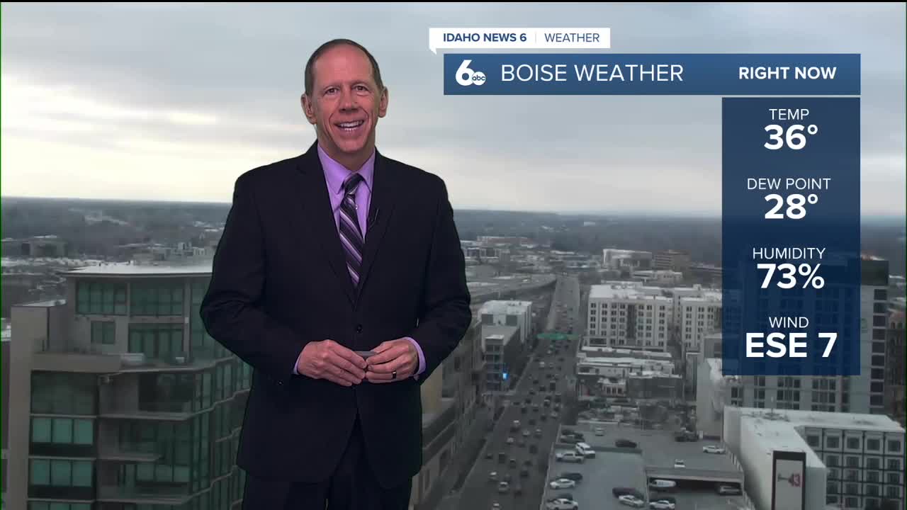


Current conditions and weekend outlook
High pressure aloft will remain centered along the West Coast through the weekend with dry northerly flow overhead. The main weather story continues to be valley inversions with periods of fog and low clouds across the region.
Fog that developed Thursday night across the Treasure and Magic Valleys lifted to low stratus as surface winds increased during the day. Low clouds have gradually decreased in coverage Friday afternoon, but are expected to expand once again overnight as temperatures cool.
Areas of fog will redevelop Friday night, though confidence in dense fog formation is lower than previous nights. Low clouds may provide enough insulation to keep cloud bases off the ground, with approximately a 50% chance of this occurring. However, light overnight winds favor at least some fog development across valley areas.
Weekend weather pattern
Conditions over the weekend will be very similar to recent days, with fog and low clouds each night and morning followed by improvement each afternoon. The persistent temperature inversion will keep lower valley temperatures near or slightly below normal, while mountains above the inversion will see temperatures several degrees above normal under mostly clear skies.
This creates a stark contrast between valley and mountain conditions, with foggy, cool valleys sitting beneath sunny, mild mountain areas.
Extended forecast and pattern change
Early next week outlook
Persistent upper-level ridging will remain over the area Monday and Tuesday, maintaining the current inversion pattern. Beginning late Tuesday into Wednesday, the high pressure aloft will begin to weaken, allowing the weather pattern to start changing.
Mid to late week developments
Larger impacts from this pattern change will begin arriving midday Thursday into Friday, when a shortwave trough system moves northwest to southeast from the Pacific Northwest to the Great Basin region. Though a 20 to 30% chance of showers appears in the mountains for Thursday and Friday, the deepest moisture will continue to be routed around the region both north and south.
As the inversion pattern breaks down, temperatures will flip dramatically. The lowest elevations will warm as trapped cold air is released, while mountain areas will cool as the protective warm air aloft dissipates.
Daily forecast breakdown
Friday night Widespread fog developing mainly after 11 p.m. Otherwise, mostly cloudy with a low around 26 degrees. Calm winds.
Saturday Widespread fog mainly before 8 a.m., then mostly cloudy gradually becoming sunny. High near 39 degrees with calm winds.
Saturday night Widespread dense fog developing mainly after 2 a.m. Otherwise, partly cloudy with a low around 25 degrees. Calm winds.
Sunday Widespread fog mainly before 8 a.m., then mostly sunny with a high near 37 degrees. Calm winds continue.
Sunday night Patchy fog developing after 2 a.m. Otherwise, partly cloudy with a low around 25 degrees. Calm winds.
Monday Sunny skies with a high near 43 degrees as the inversion temporarily weakens and conditions improve.
Monday night Mostly clear skies with a low around 25 degrees as high pressure maintains control.
Tuesday Sunny conditions with a high near 46 degrees. The persistent upper-level ridge continues to dominate the weather pattern.
Tuesday night Partly cloudy skies with a low around 26 degrees as the high pressure system begins to weaken late in the period.
Wednesday Partly sunny conditions with a high near 46 degrees. Weak upper-level ridging remains in place as the pattern begins its transition.
Wednesday night Mostly cloudy skies with a low around 28 degrees as the weather pattern continues shifting.
Thursday Mostly sunny conditions with a high near 44 degrees. The shortwave trough system begins affecting the region with a 20-30% chance of mountain showers.
Thursday night Partly cloudy skies with a low around 27 degrees as the new weather pattern establishes itself.
Friday Mostly sunny conditions with a high near 44 degrees. The shortwave trough continues moving through with continued slight chances for mountain precipitation.