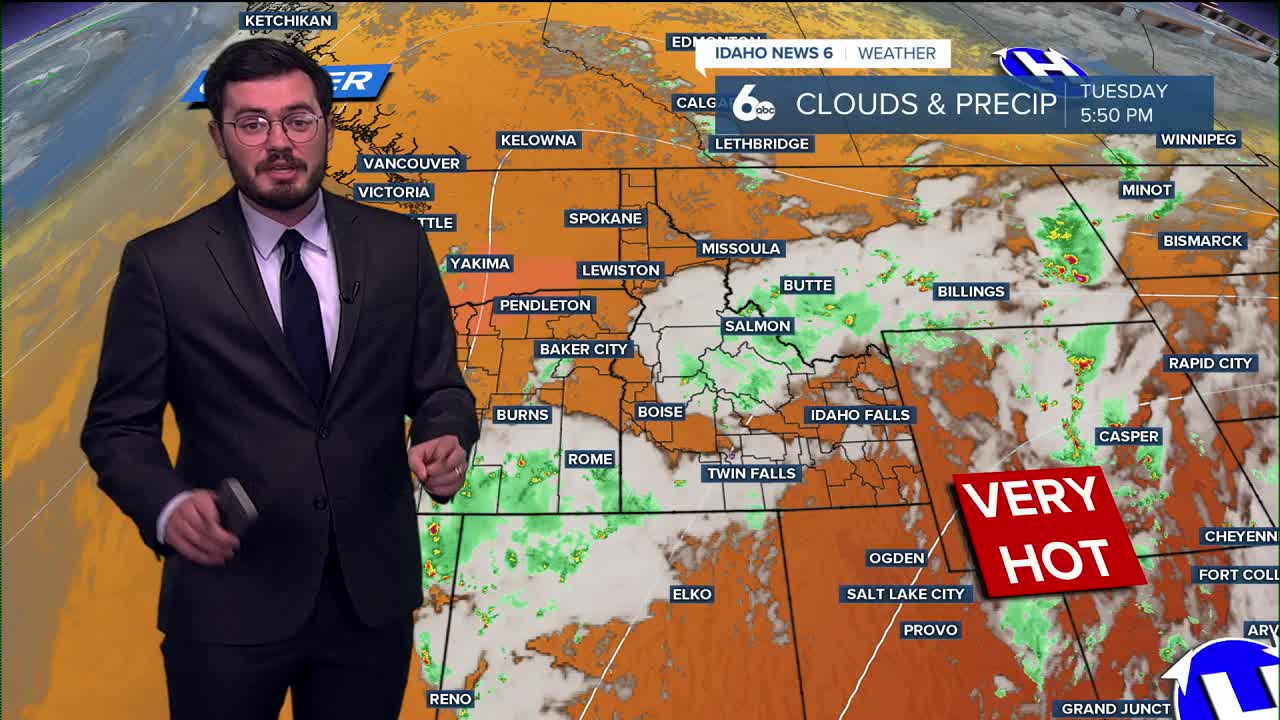


It was a toasty Tuesday that will be followed by a warm Wednesday here in Idaho but signs of cooler days ahead are closer than you think.
After a nice weekend, Idaho saw another climb in temperatures that are expected to peak going into tomorrow. The Treasure Valley will see a good shot at 100° on the thermometer but we soon fall after that.
The weekend could very well see 80's as the high closing out July. July 2024 say an incredible 15 triple digit days. 2025, a very different story with only three so far and forcasted to only have a max of four so a much needed break this year from the heat.
Stay cool tomorrow and here is your extended forecast:
Wednesday
Sunny and continued quite hot, with a high near 99. Light wind.
Thursday
Mostly sunny and not as hot, with a high near 94. Light wind.
Friday
Sunny and not very hot, with a high near 90.
Friday Night
Partly cloudy, with a low around 62.
Saturday
Sunny and comfortably hot, with a high near 91.
Saturday Night
Mostly clear, with a low around 62.
Sunday
Mostly sunny and warm, with a high near 89.
Monday
Mostly sunny and continued warm with temperatures running 6-10 degrees below normal. High near 85.
Tuesday
Mostly sunny, with a high near 88.
Stay connected right here for updates to my weekend forecast!