

An upper-level low in the north Pacific and its associated fronts are driving weather patterns across Idaho and eastern Oregon, bringing a mix of conditions through the holiday weekend.
Tonight Through Thursday Morning: Warm Front Departure
A warm front will continue moving northeastward out of the area tonight through Thursday morning. Precipitation chances along and behind the front are 40 to 60%, located mostly in southwest-central Idaho and northeast Oregon high terrain.
As the warm front has already moved through most of the area, snow levels are rising to 6,000 to 8,000 feet in the warmer air mass. This will prevent much of the area from seeing further snow accumulation, though ridges in the west-central and Boise mountains could see light accumulation. Up to 0.1 inches of rainfall is expected in the same areas.
Precipitation will follow the front northeastward out of the area Thursday morning, clearing conditions for the holiday.

Thursday: Above Normal Temperatures Return
The warmer air mass will stick around for almost all of Thursday, with slightly drier air aloft limiting precipitation to regions just north of the forecast area. Temperatures will return to 5 to 10 degrees above normal, similar to what the region has experienced for much of November.
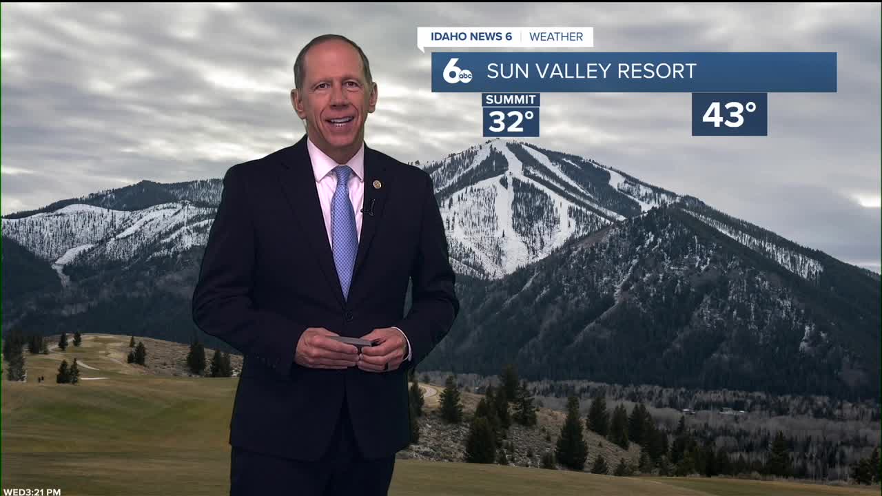
Thursday will feature mostly cloudy skies gradually becoming sunny, with a high near 54 degrees. Winds will be calm, becoming south around 5 mph during the day - ideal conditions for holiday activities and travel.
Friday: Cold Front Brings Changes
The cold front portion of the upper low will move in Thursday night and Friday morning, bringing more precipitation and dropping temperatures. High terrain in northeast Oregon and west-central Idaho will continue to be favored areas for precipitation, with chances of 40 to 60% increasing to the north.
A 15% chance of precipitation extends as far south as the Owyhees and Rome, Oregon. The most likely timing for precipitation is Friday morning through midnight Friday night.
The colder air mass will drop snow levels from 5,000 to 6,000 feet Friday morning to 3,000 to 4,000 feet by midnight. Mountain towns and passes could see up to 1 inch of snow, while ridges may receive up to 3 inches. Rainfall in the same areas is forecast to be up to 0.2 inches.
Behind the front, temperatures will drop to a few degrees above normal, and wind gusts up to 35 mph are possible in central Idaho open areas and ridges.

Weekend and Beyond: Seasonal Pattern Returns
The jet stream will flow over an upper-level ridge positioned off the west coast and then around a broad upper-level trough over the continental United States. This pattern will have enough of a northerly component to cool temperatures down to seasonal normals.
A shortwave trough will move into the Pacific Northwest Saturday night and Sunday, bringing a 20 to 30% chance of precipitation to much of southwestern Idaho and southeastern Oregon. Conditions look dry behind that system Monday, but another shortwave will approach Tuesday and Wednesday, increasing precipitation chances again.
Snow levels are expected to generally remain at or above 4,000 feet, so any snow accumulations should be limited to the mountains.

Daily Forecast:
Tonight: Mostly cloudy, then gradually becoming mostly clear, with a low around 33. Calm wind.
Thursday: Mostly cloudy, then gradually becoming sunny, with a high near 54. Light breeze.
Thursday Night: Partly cloudy, with a low around 32. Light and variable wind.
Friday: A 20% chance of rain before 11 a.m. Mostly sunny, with a high near 48. Light wind.
Friday Night: Patchy fog after 5 a.m. Otherwise, partly cloudy, with a low around 29. Diminishing wind.

Saturday: Patchy fog before 8 a.m. Otherwise, mostly cloudy, with a high near 45.
Saturday Night: A slight chance of rain before 11 p.m., then a slight chance of rain and snow. Patchy fog after 5 a.m. Otherwise, mostly cloudy, with a low around 28. Chance of precipitation is 20%.
Sunday: Patchy fog before 8 a.m. Otherwise, mostly sunny, with a high near 43.
Sunday Night: Mostly clear, with a low around 25.
Monday: Mostly sunny, with a high near 43.
Monday Night: Mostly cloudy, with a low around 29.
Tuesday: A chance of rain and snow. Mostly cloudy, with a high near 44. Chance of precipitation is 30%.
Tuesday Night: A 20% chance of rain. Patchy fog. Otherwise, mostly cloudy, with a low around 27.
Wednesday: Patchy fog. Otherwise, mostly sunny, with a high near 42.