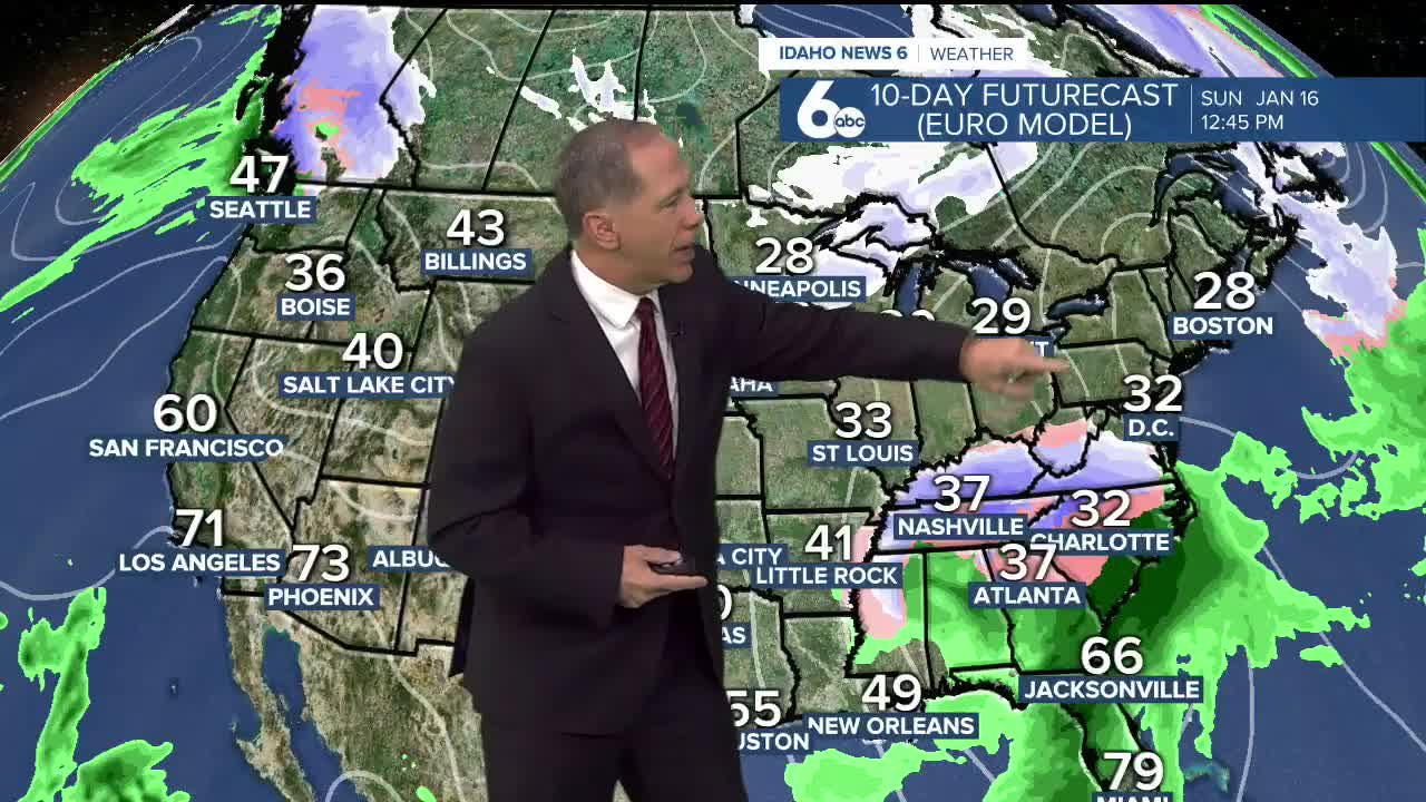


Our dry weather pattern is locked in for the intermountain west. Don't expect any real snow for at least a week and likely longer.
Valley temperatures will continue to drop into the 20s in the morning and mid to possibly upper-30s in the afternoon into mid-next week.
The central mountains may see some snow showers and dusting of snow Thursday night into Friday morning but this will only be a weak disturbance.
The next threat for snow will be in about a week when a couple of inches of snow is possible in the central mountains.
The snowpack is at 25% ABOVE normal for the Boise Basin. That is down from 33% when the snow ended. This does not mean the snowpack is melting, it means that we are not keeping up with the average. We lose 1-3% every day that it does not snow. It is possible the Boise Basin will back down to normal (100% of normal) by the time the snow starts to fly again.
It is certainly possible that once the weather pattern shifts back stormy for the west, we could see significant snow in February.
Stay connected to my Facebook Page for updates on our weather and on the significant snow that is likely back east starting this weekend.