

Temperatures climb heading towards the weekend but a slight fall follows with chances of storms increasing for Idaho.
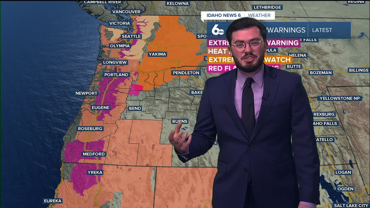
First expect smoke to be apart of the forecast for the next couple of days as wildfires in central northern Idaho are bringing smoke into the area. Saturday is expecting the warmest weather with high chances of triples for some parts and mid 90's for most areas of the Gem state.
The good news is a slight fall will come in after but it comes along with storms. The work week will see slight increases of thunderstorm activity as we get closer to the end of August.
Tonight
Mostly clear, with a low around 60. Wind becoming calm.
Friday
Areas of smoke after 1pm. Sunny and hotter, with a high near 96. Light NW breeze.
Friday Night
Areas of smoke before 7pm. Mostly clear sky, with a low around 64. light wind.
Saturday
Areas of smoke before 7am. Sunny and quite hot, with a high near 99. Very light wind.
Saturday Night
Mostly cloudy, with a low around 70. Calm wind.
Sunday
Mostly CLOUDY and not as hot, with a high near 94.
Monday
Partly sunny and not as hot, with a high near 92.
Tuesday
Mostly sunny and hot with a 20 percent chance of showers and thunderstorms after noon, and a high near 92.
Wednesday
Mostly sunny and not as hot with a 30 percent chance of showers and thunderstorms, and a high near 90.
Thursday
Partly sunny with a 30 percent chance of showers and thunderstorms. Cooler with a high near 88.
Stay connected right here for updates to my weekend forecast.