

Colder conditions are moving into the Treasure Valley today.
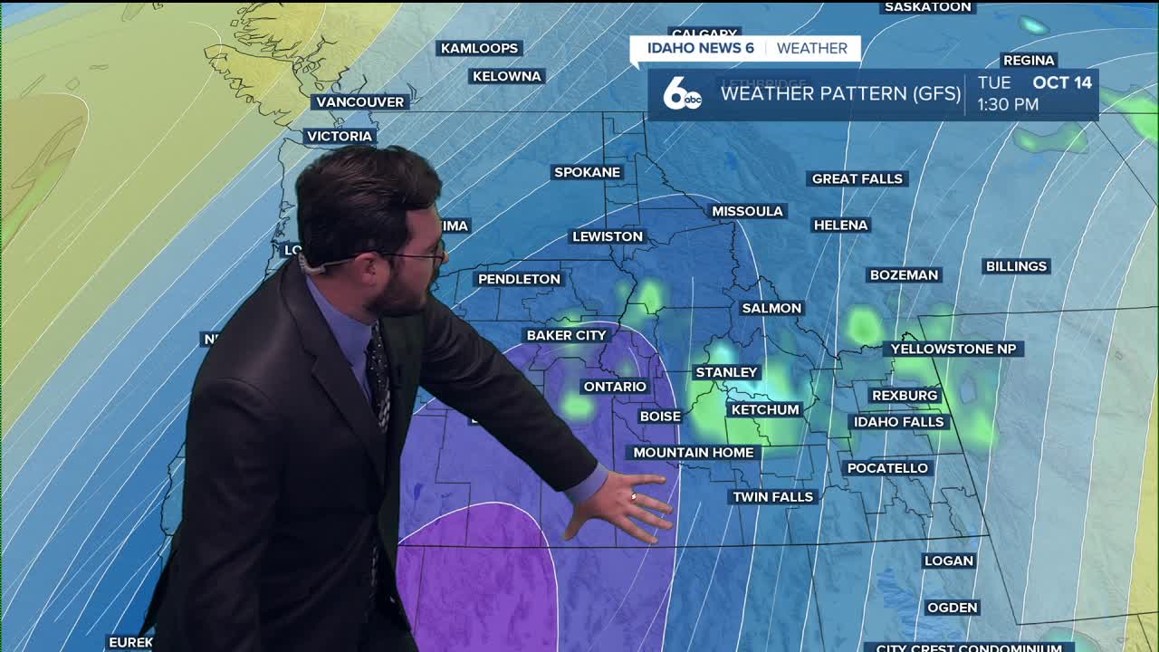
Additionally, showers are expected this week, and this combination could bring snow to the mountainous regions of Idaho.
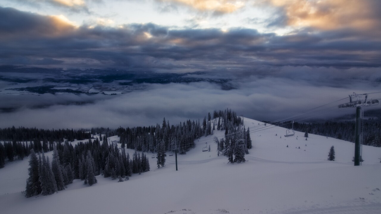
This morning, Brundage and Tamarack woke up to between 5-6" of snow on their respective snowstakes.
RELATED | Hometown musher and dog bound for Dryland World Championships
However, the start of the work week is expected to be dry.
On Tuesday, we will see a chance of showers move in, and when combined with the cooler weather, it is expected to produce snow in those higher elevations.
Consistently cooler weather should hold steady throughout the Gem State this week.
This trend could be an early indication that the warmest days of the year are behind us as the gradual cool down that is synonymous with an Autumnal climate takes over.
Long story short— I wouldn't expect warmer weather moving in anytime soon.
Have a great Monday and stay warm this week!