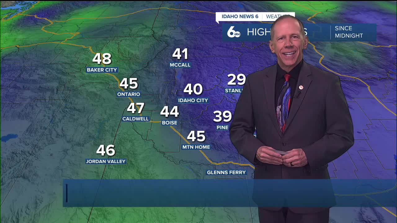
Showers will dry up this evening with only a slight chance lingering over higher terrain along the Idaho-Nevada border into Thursday, followed by fog and low-cloud development before an extended wet and unsettled pattern begins this weekend.

Tonight Through Thursday: Fog and Low Cloud Development
Increased moisture near the surface will lead to fog and low-cloud development across southeast Oregon and areas of southwest Idaho. Low clouds will be the dominant feature in the lower Snake Plain, while greater fog coverage is expected across southeast Oregon and higher terrain of southwest Idaho, including the western Magic Valley, where clouds will be more likely to intersect the terrain.
Dense fog conditions are possible in these areas, though coverage will not be widespread enough to warrant formal fog products. Drivers should exercise caution during overnight and early morning hours when visibility may be significantly reduced.
Thursday: Mostly Dry with Afternoon Instability
Thursday will be mostly dry with fog and stratus breaking by early afternoon. With the upper trough axis overhead or just to the east, afternoon "popcorn" showers could develop over the mountains of southeast Oregon and west-central Idaho, with a slight 15% chance included to cover this potential.
Another round of fog and stratus is expected Thursday night as a flat ridge works in aloft, creating similar conditions to Wednesday night.
Friday: Increasing Clouds and Moisture
Clouds will increase Friday as another trough approaches the west coast and southwest flow increases moisture aloft. Temperatures through the period will be at or slightly above normal, maintaining the mild pattern that has characterized recent weather.
This represents the setup phase for a much more active weather pattern that will dominate the extended forecast period.
Extended Outlook: Deep Longwave Trough Dominates
The long-term forecast continues to look wet and unsettled, with more cooling than previous forecasts. A deep longwave trough will remain positioned along the west coast as subsequent lows from the Gulf of Alaska keep it stalled and energetic through Wednesday.
Saturday and Sunday will see increasing clouds with a 20 to 30% chance of precipitation. More widespread precipitation is expected north and west of the area and will move into the region later in the extended period.
Weekend Pattern: Southwest Flow Dominance
Over the weekend, the wetter flow will be kept out of the area by strong southwest flow aloft, which will maintain temperatures about 5 degrees above normal. This flow pattern will limit precipitation chances while keeping conditions mild.
The positioning of the trough and associated flow patterns will be critical in determining when more significant precipitation arrives in the region.
Mountain Snow Conditions for Ski Areas
The extended wet pattern will provide excellent opportunities for fresh snowfall at ski areas. As the low amplifies Monday and Tuesday, mountain areas will see the highest precipitation chances at 40 to 80%, with snow levels dependent on the exact temperature profile of each system.
This active pattern represents a significant improvement over recent dry conditions and should provide substantial base building for ski areas throughout the region.

Monday Through Tuesday: Peak Activity
The low will amplify Monday and Tuesday, moving the region into a more favorable moisture band. Precipitation chances will increase to 40 to 80% Monday evening through Tuesday, with the highest percentages in mountainous areas.
Temperatures will cool down to a few degrees below normal by Wednesday as the pattern becomes more active and unsettled conditions continue.

Pattern Significance
This extended active pattern represents a major shift from recent weather, bringing regular precipitation chances and more variable temperatures. The persistent nature of the longwave trough suggests this unsettled pattern could continue well into next week.
The combination of multiple systems and abundant Pacific moisture could provide substantial precipitation totals, benefiting both water resources and winter recreation across the region.

Tonight
Patchy fog after 2am. Otherwise, mostly cloudy, with a low around 33. Calm wind.
Thursday
Patchy fog before 8am. Otherwise, mostly cloudy, then gradually becoming sunny, with a high near 49. Light and variable wind.
Thursday Night
Mostly clear, with a low around 30. Calm wind.
Friday
Mostly sunny, with a high near 52. Calm wind.
Friday Night
Mostly cloudy, with a low around 36.
Saturday
A 20 percent chance of rain after 11am. Mostly cloudy, with a high near 55.
Saturday Night
Cloudy, with a low around 38.
Sunday
A 20 percent chance of rain after 11am. Mostly cloudy, with a high near 55.
Sunday Night
A 20 percent chance of rain after 11pm. Mostly cloudy, with a low around 36.
Washington's Birthday
A 40 percent chance of rain. Mostly cloudy, with a high near 53.
Monday Night
A 50 percent chance of rain. Mostly cloudy, with a low around 35.
Tuesday
A chance of rain and snow. Mostly cloudy, with a high near 47. Chance of precipitation is 50%.
Tuesday Night
A chance of rain and snow. Mostly cloudy, with a low around 32. Chance of precipitation is 40%.
Wednesday
A chance of rain and snow. Mostly cloudy, with a high near 45.


