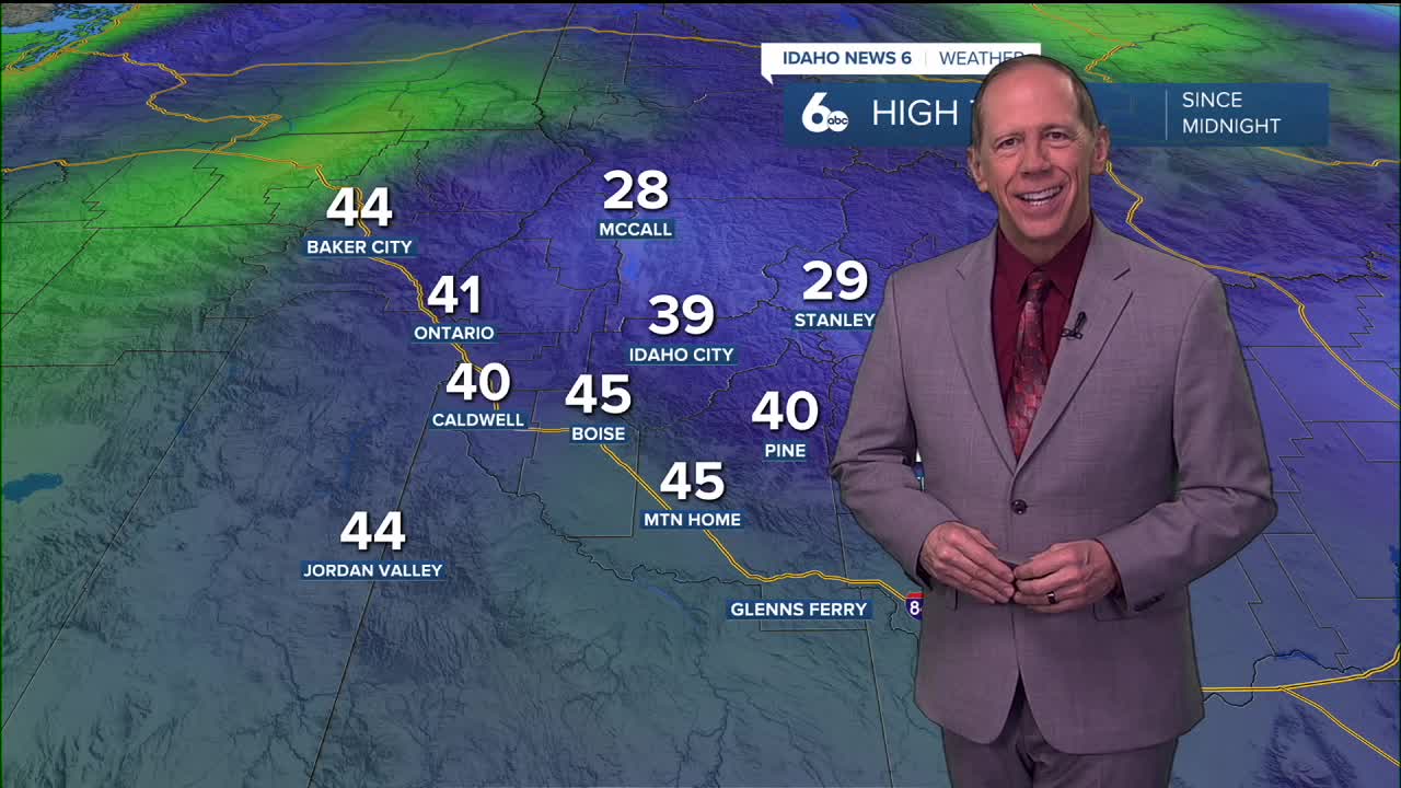
A persistent ridge over the western United States will amplify through the weekend, creating warming aloft while intensifying valley inversions and bringing fog and stratus development to lower elevations during overnight and morning hours.
Tonight Through Saturday: Weak Systems Pass Through
A weak shortwave trough moving through the larger scale ridge has brought clouds into the area, with a few light snow showers or flurries over northern mountains. The trough will exit east this evening, but clouds will continue as another weak Pacific trough moves inland.
Friday will see the second trough exit eastward with decreasing clouds. The persistent main ridge will then amplify over the western United States, resulting in warming aloft and intensifying the inversion in valleys below through the weekend.
Local fog and stratus will develop during night and morning hours in the relatively cold, moist valleys as the inversion strengthens. Recent forecasts have been corrected for a slight cold bias that had been noted in temperature predictions.
Weekend Pattern: Inversion Intensifies
The strengthening ridge pattern will create classic winter inversion conditions where warm air aloft traps cold air in valley locations. This setup favors the development of fog and low stratus clouds, particularly during overnight and early morning hours when temperatures are coolest and humidity is highest.
Valley locations should prepare for reduced visibility during these periods, with conditions typically improving during afternoon hours as any fog burns off under solar heating.

Extended Outlook: High Pressure Dominates
The ridge of high pressure will continue building over the area Sunday, with the axis shifted slightly east due to an incoming trough into the Pacific Northwest. This trough will help push moisture into the region, allowing for modest cloud cover over most areas Sunday and Monday.
The trough and associated cold front will then move just north of the region, keeping most areas dry while far northern areas in Baker County and the west-central mountains see a 20 to 30% chance of valley rain and mountain snow showers. Weather models have steadily trended this system northward, increasing forecast confidence in minimal impacts Monday and Tuesday.

Mountain Snow Conditions for Ski Areas
The ridge pattern will limit new snowfall opportunities for ski areas, with only far northern mountains potentially seeing light snow showers early next week. The persistent high pressure will maintain generally stable conditions, though valley fog may affect visibility at lower elevation ski areas during morning hours.
Ski areas should expect mostly clear mountain weather with good visibility above the inversion layer, creating excellent skiing conditions despite the lack of new snowfall.

Mid-Week and Beyond: Blocking Pattern Develops
The ridge will rebuild into a blocking high pressure system by Wednesday, diminishing precipitation chances through the extended forecast period. This high pressure will bring a return to valley inversions with cold temperatures and patchy fog in lower elevations.
The Climate Prediction Center's 8 to 14-day outlook favors above normal temperatures with a 30 to 40% chance and a return to precipitation with a 30 to 40% chance of above normal precipitation. However, given the pattern seen this year with near stationary systems and persistent high pressure, significant changes may be limited.
Air Quality and Fog Concerns
The strengthening inversion pattern raises concerns about air quality in valley locations as pollutants become trapped near the surface. Combined with fog development, this creates challenging conditions for sensitive individuals and those with respiratory conditions.
Drivers should exercise caution during fog events, using low-beam headlights and maintaining increased following distances during periods of reduced visibility.
Daily Forecast:
Tonight: Partly cloudy during the evening, then cloudy overnight, with a low around 33. Calm wind.
Friday: Mostly cloudy, with a high near 48. Light and variable wind.
Friday Night: Mostly cloudy, with a low around 33. Calm wind.
Saturday: Partly sunny and quite pleasant with unseasonably mild temperatures, with a high near 47. Light east southeast wind.
Saturday Night: Mostly cloudy, with a low around 33. Calm wind.
Sunday: Mostly cloudy & continued mild, with a high near 48.
Sunday Night: Mostly cloudy, with a low around 30.
Monday: Mostly sunny, with a high near 47.
Monday Night: Partly cloudy, with a low around 30.
Tuesday: Mostly sunny, with a high near 47.
Tuesday Night: Partly cloudy, with a low around 30.
Wednesday: Mostly sunny, with a high near 49.
Wednesday Night: Partly cloudy, with a low around 30.
Thursday: Mostly sunny, with a high near 48.


