

A ridge remains over the area bringing gradual warming, especially at higher elevations, while valley locations continue to experience fog and cooler temperatures due to persistent inversion conditions.
Weekend: Gradual Warming Despite High Clouds
High clouds streaming into the area from a system impacting British Columbia and Washington will work against otherwise warming temperatures Saturday. Despite the cloud cover, temperatures will warm a few degrees, especially at higher elevations.
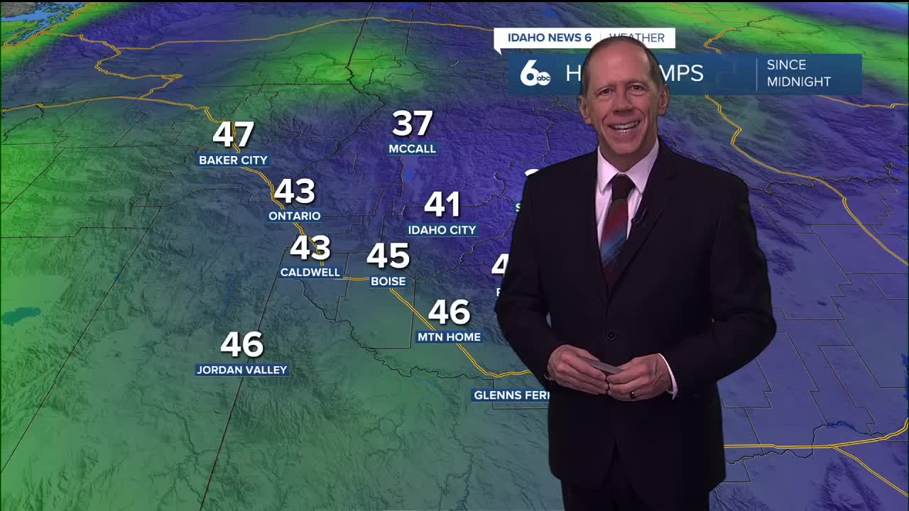
High resolution weather models show temperatures reaching the low to mid-50s across eastern Oregon and portions of the Snake Basin over the next several days. However, low clouds and fog will persist in the lower Treasure Valley until late afternoon, where temperatures will be slightly cooler each day.
Patchy fog is expected each night in the lower Treasure Valley as inversion conditions continue to dominate valley locations.
Valley Inversion Impacts
The persistent ridge pattern favors the formation of valley inversions during winter months, creating a stark contrast between mountain and valley conditions. While higher elevations experience warming temperatures, valleys remain trapped in cold air with fog, low stratus clouds, and stagnant conditions.
This pattern also leads to trapped pollutants in valley locations, creating air quality concerns for sensitive individuals. The fog typically persists until late afternoon when solar heating helps mix out the inversion layer.
Extended Outlook: High Pressure Dominates
A shortwave trough to the north will dampen the ridge of high pressure Monday, though recent forecasts show increasing confidence in minimal impacts to the region. The system will primarily bring cooler temperatures and cloudy skies Monday without significant precipitation.
The ridge will strengthen again over the region by Tuesday, bringing potential for warming temperatures dependent on valley inversion development. If sufficient mixing and clearing occurs day to day, temperatures could reach the 50s in the Snake River Valley and near the Nevada border.
Temperature Uncertainty: Inversion vs. Mixing
However, the upper-level pattern of stationary high pressure typically favors valley inversion formation during winter. This would bring a return to stagnant conditions with patchy fog, low stratus cloud decks, trapped pollutants, and lower elevation cold pools, resulting in high temperatures only in the upper 30s to low 40s.
This scenario represents the more likely outcome based on the current pattern, though there's potential for the strength of the high pressure to create significant mixing that might produce warmer than anticipated temperatures.
Mountain Snow Conditions for Ski Areas
The ridge pattern will continue to limit new snowfall opportunities for ski areas, with mostly clear mountain weather expected above the inversion layer. Ski areas at higher elevations will experience excellent visibility and mild temperatures, creating ideal skiing conditions despite the lack of fresh snow.
Lower elevation ski areas may experience morning fog that typically clears by afternoon, though base elevations could remain in inversion conditions longer than upper mountain areas.
Long-Range Pattern: Potential Change Ahead
The blocking high pressure pattern will remain through the work week, maintaining the current temperature and fog patterns. Some advanced weather models indicate a potential cooler and wetter shift to the pattern by next weekend, though confidence in this change remains limited given the persistent nature of the current setup.
The stationary high pressure pattern has been a dominant feature this winter, creating extended periods of stable but stagnant conditions across the region.
Daily Forecast:
Tonight: Mostly cloudy, with a low around 33. Calm wind.
Saturday: Partly sunny & unseasonably mild and pleasant, with a high near 51. Calm wind.
Saturday Night: Mostly cloudy, with a low around 33. Light and variable wind.
Sunday: Mostly cloudy & continued mild, with a high near 53. Light and variable wind becoming south southeast around 5 mph in the afternoon.
Sunday Night: Partly cloudy, with a low around 32. Light and variable wind.
Monday: Mostly sunny, with a high near 50.
Monday Night: Partly cloudy, with a low around 31.
Tuesday: Mostly sunny, with a high near 50.
Tuesday Night: Mostly clear, with a low around 32.
Wednesday: Sunny, with a high near 52.
Wednesday Night: Mostly clear, with a low around 32.
Thursday: Sunny, with a high near 52.
Thursday Night: Mostly clear, with a low around 33.
Friday: Mostly sunny, with a high near 52