

The Treasure Valley will experience exceptional warmth Thursday with several cities approaching or potentially tying record high temperatures for November 13 before a weather pattern change brings cooler, more unsettled conditions this weekend.
Record-challenging temperatures Thursday
Thursday will be another very mild day with partly sunny skies and highs near 68 degrees across much of the Treasure Valley. These temperatures will challenge and potentially tie several long-standing records for November 13.
Emmett is forecast to reach 68 degrees, which would tie the all-time record high for November 13 set in 1999. Boise's forecast high of 68 degrees will come within one degree of the record 69 degrees set in 1939 - a mark that has stood for 86 years.
Other cities approaching records include Lucky Peak Dam (forecast 67 degrees, record 68 degrees in 1953), Swan Falls Dam (forecast 67 degrees, record 68 degrees in 1999), and Twin Falls Airport (forecast 66 degrees, record 69 degrees in 1999). McCall is forecast to reach 60 degrees, just one degree shy of the 61-degree record set in 1999.
Pre-frontal southwest winds will become noticeable Thursday afternoon, in the higher elevations while southeast winds of 3 to 8 mph are expected across the Treasure Valley.
A weak surface inversion that has been in place will finally be scoured out by an approaching cold front, allowing temperatures to climb even higher than recent days in some valley locations.
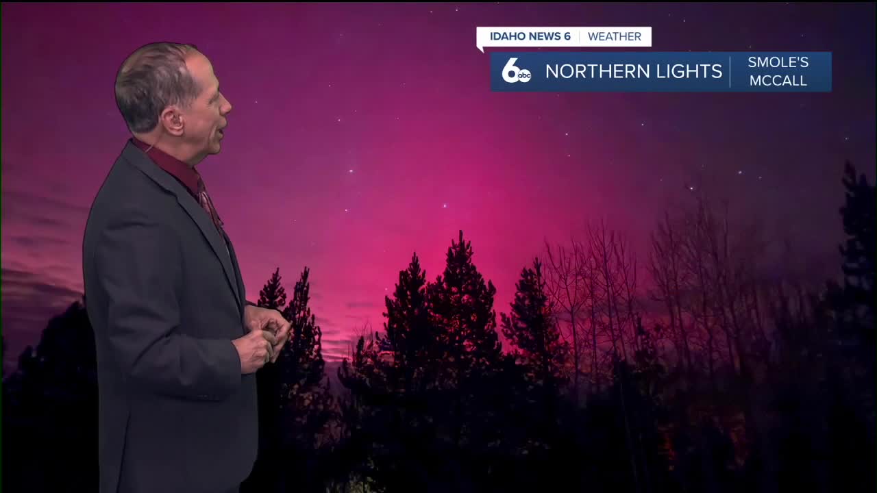
Did you get any photos of the northern lights Tuesday Night? It's not over yet!
Light rain arrives Thursday night
The weather pattern begins to shift Thursday night as a surface cold front approaches the region. Rain becomes likely after 11 p.m. with a 60% chance of precipitation and mostly cloudy skies. Lows will remain mild around 47 degrees.
This front is associated with an upper-level trough off the coast that has developed into a closed low near Southern California. However, the northern portion of this system will provide only minimal support as it moves rapidly inland along the Canadian border.
Friday brings notable cooling
Friday will see a noticeable temperature drop as the weakening front moves through. Partly sunny skies will accompany highs near 60 degrees - about 8 degrees cooler than Thursday's near-record warmth. There's a 50% chance of rain before 11 a.m. as the front completes its passage.
Precipitation amounts will be relatively light across most areas. The Boise Mountains and west central Idaho mountains could see 0.25 to 0.50 inches of total precipitation from Thursday through Saturday morning. The Snake River Plain will receive around 0.10 inches, while eastern Oregon valleys may see 0.05 to 0.15 inches.
Mountain snow will be minimal during this system, with snow levels staying above 7,000 feet during most of the precipitation.
Weekend pattern change
Saturday offers a brief break in the unsettled weather with mostly sunny skies and highs near 60 degrees. Temperatures will start out 5 to 10 degrees above normal but will gradually trend toward seasonal norms.
The calm doesn't last long. Sunday brings a 30% chance of rain and partly sunny skies with highs near 54 degrees as a more complex weather pattern develops.

Active weather returns early next week
A Southern California closed low will interact with a trough digging down from the Gulf of Alaska, creating an active weather pattern for early next week. This combination will steer moisture and dynamics into the region starting Sunday.
Sunday night shows a 50% chance of rain with mostly cloudy skies and lows around 39 degrees. Monday continues the unsettled pattern with a 40% chance of rain, mainly before 11 a.m., and partly sunny skies with highs near 50 degrees.
The most significant change will be dropping snow levels. By Monday, snow levels will lower to 4,000-5,000 feet, allowing for a couple of inches of snow along ridgelines and perhaps even a dusting in higher elevation towns.

Daily forecast
Wednesday Night: Partly cloudy, with a low around 45 degrees. Southeast wind 3 to 5 mph.
Thursday: Partly sunny, with a high near 68 degrees. Locally breezy SE wind developing.
Thursday Night: Rain likely, mainly after 11 p.m. Mostly cloudy, with a low around 47 degrees. Chance of precipitation is 60%.
Friday: A 50% chance of rain early in the morning then partly sunny, with a high near 60 degrees. Light wind.
Friday Night: Partly cloudy, with a low around 40 degrees. Light and variable wind.

Saturday: Mostly sunny & pleasant, with a high near 60 degrees.
Saturday Night: Partly cloudy, with a low around 40 degrees.
Sunday: Increasing clouds with a 30% chance of rain developing and a high near 54 degrees.
Sunday Night: A 50% chance of rain. Mostly cloudy, with a low around 39 degrees.
Monday: A 40% chance of rain, mainly before 11 a.m. Partly sunny, with a high near 50 degrees.
Tuesday: Mostly sunny, with a high near 48 degrees.
Wednesday: A 30% chance of rain. Partly sunny, with a high near 47 degrees.
Stay connected right here for updates to my outlook for snow for the ski areas!!