


Record-breaking heat will continue to bake the region through Friday, with valley temperatures soaring into the 80s before a weekend cold front brings significant changes and much-needed relief.
Record Heat Ends for the Weekend, Here is my Video Forecast
Exceptional Heat Peaks This Week
An unusually strong high-pressure system over the southwestern United States is driving this early-season heat wave. Temperatures across southwest Idaho and southeast Oregon will run 20 to 25 degrees above normal through Friday. Lower valleys can expect afternoon highs in the low to mid-80s, while mountain areas will see temperatures reach the 60s.
Residents should continue to practice heat safety through Friday, staying hydrated and limiting strenuous outdoor activities during the hottest parts of the afternoon.
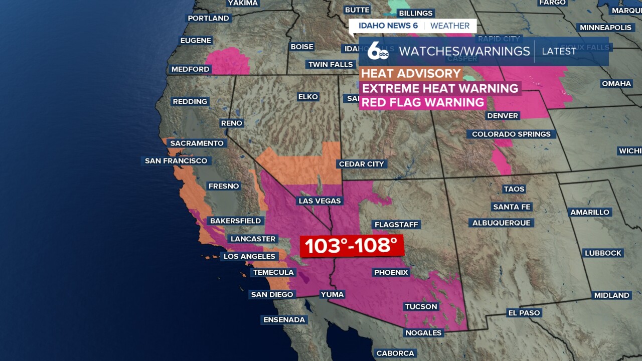
Fire Danger Concerns Emerge
The combination of unseasonable heat, dry conditions, and breezy winds is creating early fire danger concerns for parts of the region. Central Oregon, particularly Harney County, will see elevated fire risks on Thursday and Friday afternoons as relative humidity levels drop and winds begin to pick up.
Weekend Cold Front Brings Relief
A major pattern shift arrives on Saturday as a cold front sweeps through the area. This system will drop temperatures by 10 to 15 degrees, bringing an end to the record-breaking heat. While most valley locations will remain dry, the front will bring increased cloud cover and a 30 to 65 percent chance of rain and snow showers to the higher terrain of the northern mountains.

Gusty Winds Expected Saturday
The weekend transition will not be entirely quiet. Breezy conditions will develop as the cold front passes through the region. By Saturday afternoon, areas in the Snake River Basin east of Boise have a high probability of seeing wind gusts of 25 mph or stronger.
Looking Ahead to Next Week
Following the weekend cold front, the weather pattern will remain cooler and breezy, though temperatures will still lean slightly above normal for late March. A new storm system from the Gulf of Alaska may approach the region by Tuesday and Wednesday, bringing increased chances for widespread precipitation, though the exact timing and impact of this system remain uncertain.

Mountain Snow Conditions for Ski Areas
The extreme warmth through Friday will continue to rapidly deteriorate snow conditions at local ski resorts, leading to heavy, slushy spring skiing. However, the cold front arriving Saturday will bring cooler temperatures and a chance for fresh precipitation across the northern mountains, which could help stabilize conditions slightly heading into next week.

Tonight
Clear, with a low around 48. Light and variable wind.
Thursday
Sunny with near record heat, with a high near 78. Light and variable wind.
Thursday Night
Mostly clear, with a low around 52. Light east wind.
Friday
Mostly sunny with record heat, with a high near 82. Light wind.
Friday Night
Mostly cloudy, with a low around 51. Light east northeast wind.
Saturday
Mostly cloudy, breezy & cooler, with a high near 68.
Saturday Night
Mostly cloudy, with a low around 37.
Sunday
Mostly sunny & cooler with a breeze, with a high near 62.
Sunday Night
Partly cloudy, with a low around 40.
Monday
Mostly cloudy, with a high near 65.
Monday Night
Mostly cloudy, with a low around 46.
Tuesday
A 20 percent chance of rain. Mostly cloudy & milder, with a high near 72.
Tuesday Night
A 30 percent chance of rain. Mostly cloudy, with a low around 45.
Wednesday
A 30 percent chance of rain. Mostly sunny, with a high near 65.