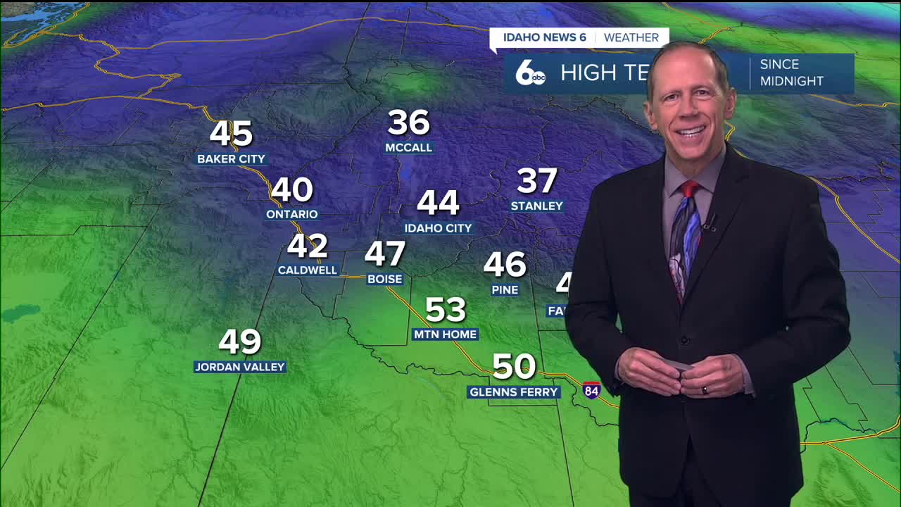
A few lingering showers from a warm front will end this evening before fog develops overnight, followed by another Pacific storm system that will bring significant mountain snowfall this weekend while creating rain shadow effects for valley areas.
Tonight: Fog Development Expected
Light winds tonight, especially in sheltered valleys, will allow stratus and fog to redevelop or remain in place. The Lower Treasure Valley, Baker Valley, and Long Valley have the highest chance for fog development as post-frontal conditions create ideal circumstances for reduced visibility.
The few remaining showers across central Idaho mountains will end before sunset this evening, with the area remaining dry through much of Saturday morning.
Weekend: Pacific Storm Approaches
The next Pacific frontal system will bring more precipitation beginning late Saturday morning, becoming more widespread by Saturday evening. The system will favor the central Idaho mountains with increased winds creating a rain shadowing effect that will limit rainfall for the Treasure Valley.
Snow levels will range from 6,500 feet in the central mountains to 7,500 feet
Boise Mountains south, keeping most precipitation as rain in valley locations while providing beneficial snowfall to higher elevations.
Sunday will see a deepening upper trough off the coast increase southwest winds in Oregon zones by Sunday afternoon, in addition to widespread precipitation across the central Idaho mountains. Winds in southeast Oregon may gust up to 50 mph during this time.
Mountain Snow Conditions for Ski Areas
The high snow levels will limit accumulating snowfall to areas above 6,000 feet, where 6 to 12 inches of snow is possible from Saturday afternoon through Sunday evening. This represents excellent news for ski areas at higher elevations, which will receive substantial snowfall to build base depths. More snow will accumulate on Monday as well!
Lower elevation ski areas may see rain at base elevations while upper mountain areas receive snow, creating variable conditions across different elevations at individual resorts.

Next Week: Major Pattern Change
Weather guidance continues to align on a trough moving down from the Gulf of Alaska Monday, bringing elevated precipitation chances. The Snake Plain and areas southwest will see 15 to 30% chances, while the west-central and Boise mountains will experience 40 to 80% chances.
Tuesday will bring a brief break in activity, except for scattered showers over the west-central mountains, as the initial trough continues moving south. A reinforcing shortwave from the northwest will increase precipitation chances again late Tuesday into early Wednesday.

Mid-Week Transition: Snow Levels Drop
North-northwesterly flow behind a cold front will support cooling temperatures and lowering snow levels. This cooling pattern will support a wintry mix throughout the Snake Plain by Wednesday afternoon, with snow levels reaching valley floors by Thursday morning.
However, as snow levels drop, precipitation chances will decline as the trough departs eastward. Little to no accumulation is expected throughout the Snake Plain during this transition.

Extended Mountain Snow Outlook
Mountain terrain tells a different story, with mountain valleys having a 40 to 60% chance of seeing greater than 6 inches of snow through the extended period. As elevation increases, snowfall amounts will increase accordingly, with the highest peaks having a 70% or greater chance of seeing over a foot of snow throughout the period.
This pattern represents excellent conditions for mountain snowpack building and winter recreation at higher elevations.

Daily Forecast:
Friday Night: Mostly cloudy, with a low around 38. ESE wind 3 to 7 mph.
Saturday: A 40% chance of rain, mainly after 11 a.m. Increasing clouds and unseasonably mild, with a high near 53. ESE wind 7 to 14 mph, with gusts as high as 25 mph.
Saturday Night: Rain likely, mainly before 11 p.m. Mostly cloudy, with a low around 42. East southeast wind 8 to 14 mph. Chance of precipitation is 60%.
Sunday: Rain likely, mainly after 11 a.m. Cloudy & continued very mild, with a high near 52. SE wind 7 to 9 mph. Chance of precipitation is 60%.
Sunday Night: Rain likely, mainly before 11 p.m. Mostly cloudy, with a low around 38. SE wind 3 to 6 mph. Chance of precipitation is 60%.
Monday: A 30% chance of rain. Mostly cloudy & mild, with a high near 48.
Monday Night: A 20% chance of rain before 11 p.m. Mostly cloudy, with a low around 34.
Tuesday: Mostly cloudy, with a high near 47.
Tuesday Night: A 50% chance of rain. Mostly cloudy, with a low around 34.
Wednesday: A chance of rain before 11 a.m., then a chance of rain and snow. Mostly cloudy & colder, with a high near 42. Chance of precipitation is 50%.
Wednesday Night: A chance of rain and snow. Mostly cloudy, with a low around 25. Chance of precipitation is 30%.
Thursday: A 20% chance of snow. Mostly sunny, with a high near 39.
Thursday Night: Partly cloudy, with a low around 22.
Friday: Sunny, with a high near 37.
Stay connected right here for updates on incoming mountain snow!


