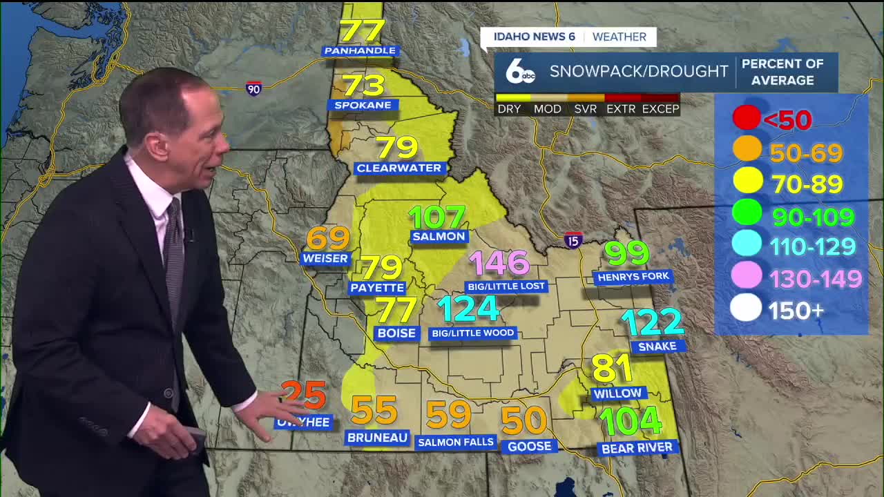
Western Idaho remains locked in an extended period of dry, stagnant weather as a strong high pressure ridge continues dominating the region. Valley fog is expanding while temperature inversions create dramatically different conditions between valleys and mountains.
Strengthening inversions and expanding fog
The strong upper-level ridge over the Pacific Coast and Intermountain West is maintaining dry conditions across the region, with storm systems displaced well to the north. Valley inversions are continuing to strengthen, creating a stagnant air mass with cold air trapped in lower elevations.
Tonight, patchy fog is possible across the Lower Treasure Valley, Baker Valley, and Long Valley. By Tuesday night into Wednesday, fog and low clouds are likely to expand across the Snake River Plain and most lower valleys, significantly limiting the daily temperature range in affected areas.
The persistent inversion pattern means temperatures aloft and over higher terrain remain unseasonably warm, while valley locations stay cooler with limited atmospheric mixing.

Extended stagnant conditions
Air stagnation is likely to persist through at least next Monday as high pressure continues dominating the weather pattern. Valley locations will experience cooler, near-normal temperatures while higher elevations see warmer, above-normal conditions.
Valley fog and low clouds will be a daily occurrence each morning under the inversion layer. A potential weather disturbance Thursday may bring slightly increased upper-level winds, but it will likely remain decoupled from surface conditions with minimal impact on the stagnant pattern.
Weather models are beginning to hint at a possible pattern breakdown by the middle of next week, though uncertainty remains high for that timeframe.
Temperature contrasts continue
The dramatic temperature differences between valleys and nearby mountains will persist throughout the forecast period. While valley residents deal with fog, cooler temperatures, and stagnant air, those at higher elevations will enjoy abundant sunshine and temperatures well above seasonal averages.
This weather pattern creates unique conditions where driving from a valley floor to nearby mountains can result in temperature differences of 15-20 degrees and a complete change from foggy to sunny skies.
This story was reported on-air by a journalist and has been converted to this platform with the assistance of AI. Our editorial team verifies all reporting on all platforms for fairness and accuracy.

Day-by-day forecast
Monday Night: Mostly clear with a low around 27 degrees. Calm wind.
Tuesday: Sunny with a high near 43 degrees. Calm wind.
Tuesday Night: Partly cloudy with a low around 27 degrees. Calm wind.
Wednesday: Sunny with a high near 46 degrees. Calm wind.
Wednesday Night: Mostly clear with a low around 25 degrees. Calm wind.
Thursday: Sunny with a high near 42 degrees.
Thursday Night: Mostly clear with a low around 26 degrees.
Friday: Sunny with a high near 42 degrees.
Friday Night: Mostly clear with a low around 26 degrees.

Saturday: Sunny with a high near 44 degrees.
Saturday Night: Mostly clear with a low around 27 degrees.
Sunday: Sunny with a high near 45 degrees.
Sunday Night: Mostly clear with a low around 28 degrees.
Monday: Mostly sunny with a high near 45 degrees.


