

One more cold night is expected as the main upper trough exits east, followed by significant warming of 5 to 10 degrees Saturday and another 5 to 10 degrees Sunday as a broad Pacific upper ridge moves inland and replaces the trough.
The warming trend will be accompanied by gusty winds as a deep surface low pressure system off the coast produces south or east winds of 15 to 30 mph across the area Saturday through Sunday, even persisting through nighttime hours. This represents a dramatic shift from the recent cold and snowy pattern to much milder and windier conditions.

Saturday will see increasing clouds with highs near 49 degrees and southeast winds of 7 to 13 mph with gusts as high as 23 mph. Warm-frontal clouds will make Saturday night warmer than tonight, along with a slight chance of rain and snow in the northernmost mountains. Sunday continues the warming trend with sunny skies and highs near 57 degrees, as decreasing clouds in the warm sector allow temperatures to climb further.
The warming continues into next week with strong southwesterly flow aloft as the deep low approaches. Monday temperatures will reach around 10 degrees above normal with gusty winds ahead of precipitation arriving that night. This sets up what could be a significant weather event for the region.
Precipitation chances rise dramatically to 50 to 90% Monday evening through Tuesday as a strong moisture core passes over the area. Chances are higher over higher terrain, but the warm temperatures will keep snow levels elevated at about 6,000 feet. Moderate precipitation totals are likely, with heavier amounts in the mountains favored by strong atmospheric flow aloft.
Tuesday will see temperatures cool by several degrees as the main system moves through, with an 80% chance of rain across the area. Snow levels will drop behind the system Wednesday morning to 3,000 to 5,000 feet, though much drier air will end the period of widespread precipitation.
Lingering showers Wednesday will clear out by Thursday as the moisture moves north of the area. A slight chance of precipitation remains through the rest of the week, though most weather models show the moisture staying north of the forecast area. Gusty winds will continue each afternoon as the active pattern persists.
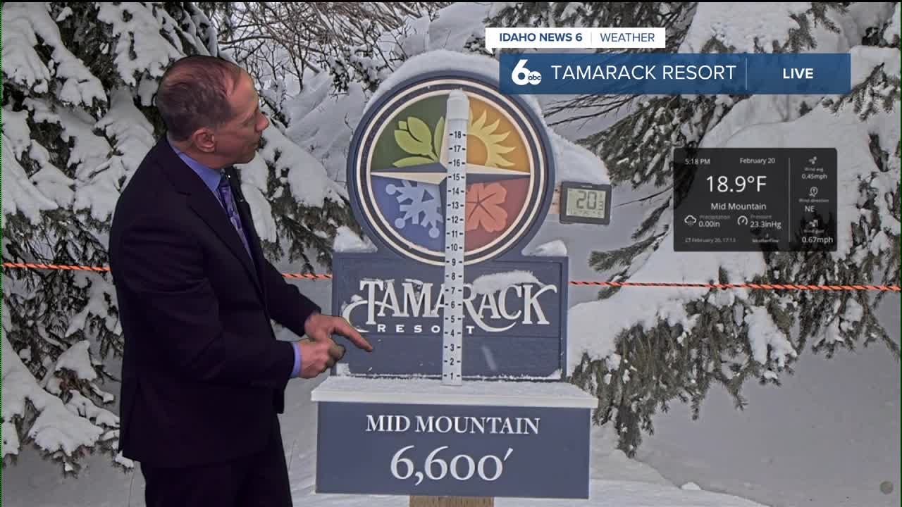
Mountain Snow Conditions for Ski Areas

The weekend warming will temporarily affect snow conditions at lower elevation ski areas, though higher elevations should maintain good conditions. The major system Monday night through Tuesday will bring significant precipitation to mountain areas, though with snow levels at 6,000 feet initially, many ski areas may see rain at base elevations before snow levels drop Wednesday morning to 3,000 to 5,000 feet. This could provide fresh snowfall for midweek skiing as conditions cool behind the system.
The continued active pattern suggests more opportunities for mountain precipitation, though the alternating warm and cold cycles will continue to characterize this dynamic winter weather regime.

Tonight
Increasing clouds, with a low around 27. Calm wind becoming east southeast 5 to 7 mph in the evening.
Saturday
Increasing clouds, with a high near 49. Southeast wind 7 to 13 mph, with gusts as high as 23 mph.
Saturday Night
Mostly cloudy, with a low around 33. East southeast wind 8 to 10 mph.
Sunday
Sunny, with a high near 57. Southeast wind 7 to 13 mph, with gusts as high as 22 mph.
Sunday Night
Mostly cloudy, with a low around 38. East southeast wind 5 to 10 mph.
Monday
Mostly cloudy, with a high near 58.
Monday Night
A 50 percent chance of rain, mainly after 11pm. Cloudy, with a low around 43.
Tuesday
Rain. High near 53. Chance of precipitation is 80%.
Tuesday Night
A 50 percent chance of rain. Mostly cloudy, with a low around 34.
Wednesday
A slight chance of rain and snow before 11am. Mostly sunny, with a high near 52. Chance of precipitation is 20%.
Wednesday Night
A 20 percent chance of rain. Partly cloudy, with a low around 33.
Thursday
Partly sunny, with a high near 56.
Thursday Night
A 20 percent chance of rain. Mostly cloudy, with a low around 37.
Friday
A 20 percent chance of rain. Partly sunny, with a high near 58.