

A deep moisture plume from a Pacific storm system will bring mixed precipitation to Idaho on New Year's Day, Expect a prolonged period of unsettled weather through next week.
Tonight: Clear and Cold
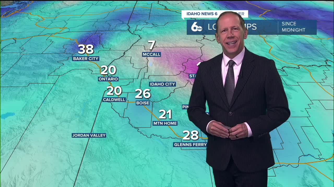
Mostly clear skies will allow temperatures to cool below freezing in most areas again tonight as high pressure maintains its grip on the region. This will be the last night of clear, cold conditions before the weather pattern shifts dramatically.
New Year's Day: Mixed Precipitation Arrives
A deep moisture plume on the east side of a storm off the California coast will stream northward through California and Nevada into the region Thursday, continuing overnight into Friday. Snow levels will initially be near 4,500 feet Thursday morning but will rise above 6,500 feet by Thursday night.
Precipitation could start as a wintry mix, rain, freezing rain, or snow in some lower valleys where strong temperature inversions remain in place. The Baker Valley faces the highest probability for freezing rain with a 30% chance Thursday morning due to the persistent cold air trapped at the surface. I expect just rain in the Boise area. Some freezing rain is possible in the Ontario area Thursday morning.
Surface temperatures should rise above freezing in most areas during the afternoon, making rain the preferred precipitation type in valleys as the day progresses.
Mountain Snow Conditions for Ski Areas
Light snow in the mountains at elevations above 4,500 feet may bring 1 to 2 inches of accumulation to mountain communities before snow levels rise above 6,500 feet Thursday night and Friday. This initial snowfall will benefit higher elevation ski areas, though the rising snow levels will transition most resorts to rain by Friday.
The brief window of snow accumulation Thursday morning into early afternoon will provide some fresh snow for ski areas above 4,500 feet before conditions become less favorable as temperatures warm and snow levels climb.
Weekend and Beyond: Prolonged Wet Pattern
Unsettled weather will continue throughout the extended period as a continuous flow of anomalously high moisture from the Southwest persists. The deep southerly flow will also promote warmer-than-normal temperatures, keeping snow levels generally above 6,000 feet through Sunday.
This pattern represents a significant shift from recent dry conditions, with heightened precipitation chances likely throughout the period. Lower elevations can expect 20 to 50% chances at any given time, while mountains will see greater than 50% chances.
The inland progression of a colder, offshore upper trough remains uncertain by Monday, which could potentially cool temperatures and bring a more focused round of precipitation. Regardless of the exact track, the overall pattern favors continued unsettled conditions.
Fog Concerns
High surface humidity from the active weather pattern may create fog concerns overnight throughout the period. The combination of moisture and light winds could lead to reduced visibility, particularly in valley locations where temperature inversions may still be present.
Daily Forecast:
Wednesday Night: Increasing clouds, with a low around 29. Calm wind.
Thursday: Rain likely, mainly after 11 a.m. Cloudy, with a high near 43. Light and variable wind. Chance of precipitation is 70%. New precipitation amounts between a tenth and quarter of an inch possible.
Thursday Night: Rain. Low around 36. Calm wind. Chance of precipitation is 90%. New precipitation amounts between a quarter and half of an inch possible.
Friday: Any rain ending by 9am then breaking clouds & quite mild, with a high near 49. Light east southeast wind.
Friday Night: Mostly cloudy, with a low around 38. East southeast wind 3 to 6 mph.
Saturday: A 40% chance of rain, mainly after 11 a.m. Mostly cloudy & unseasonably mild, with a high near 53.
Saturday Night: A 50% chance of rain. Mostly cloudy, with a low around 41.
Sunday: A 50% chance of rain. Mostly cloudy & continued unseasonably mild, with a high near 52.
Sunday Night: A 50% chance of rain. Mostly cloudy, with a low around 39.
Monday: A 40% chance of rain. Mostly cloudy & continued mild, with a high near 51.
Monday Night: A 30% chance of rain. Mostly cloudy, with a low around 34.
Tuesday: Partly sunny & mild, with a high near 48.
Tuesday Night: A 20% chance of rain. Partly cloudy, with a low around 33.
Wednesday: A 20% chance of rain. Partly sunny & mild, with a high near 47.