

The main upper trough remains offshore tonight, but a weak shortwave associated with a cold front will continue supporting convective showers across the region through late tonight, with the potential for valley snow Wednesday morning as northwesterly flow develops.
Tonight Through Wednesday: Continued Shower Activity
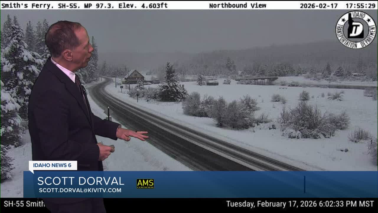
Light to moderate snowfall will continue across the central Idaho mountains, with mountain valleys expected to see 2 to 5 inches of new snow, while locations above 5,500 feet could see 5 to 10 inches through Wednesday evening. For the Snake River Plain, occasional rain, snow, or graupel showers will continue, with snow showers possible after sunset.
Wednesday Morning: Valley Snow Potential
Expect Treasure Valley snow showers Wednesday morning into the early afternoon.
Accumulations will be limited, with a 90% chance that the Treasure Valley sees less than two-tenths of an inch of snow, though localized spots could see up to half an inch. The western Magic Valley could also see up to half an inch of snow through Wednesday morning. Snow coverage doesn't appear sufficient to greatly impact the morning commute, though drivers should expect to see snow off and on Wednesday morning.
Breezy westerly winds are expected from Mountain Home through the western Magic Valley Wednesday afternoon with gusts up to 40 mph.
Thursday: Post-Frontal Environment Continues
By Thursday, the region remains in a cool and unstable post-frontal environment. Another weak trough moving northwest to southeast, combined with daytime heating, will trigger another round of snow showers mainly across southeast Oregon. Light accumulations of up to 2 inches are expected in the mountains Thursday, with only a slight chance of light rain or snow showers in lower valleys. Temperatures will remain several degrees below normal through the period.
Weekend Pattern Change: Warming Trend Begins
Lingering mountain showers will generally dissipate Friday as ridging builds in for the weekend. The high pressure ridge will bring clear skies and warm southwest flow aloft, warming temperatures quickly through the weekend into early next week. Temperatures will start near 5 to 10 degrees below normal Friday and rise to a few degrees above normal by Monday.
During this period, another strong Alaskan low will amplify as it sits off the Pacific Northwest coast. Recent model runs have taken this low further west, reducing weekend precipitation chances and strengthening the warming trend.
Next Week: Active Pattern Returns
By Monday evening and Tuesday, weather models are consistent with the strong low rejoining the jet stream and bringing moisture through the area. A 50 to 80% chance of precipitation Tuesday with snow levels near 4,000 to 5,000 feet means many mountains will see more snow quickly following the period of warm weather.
This pattern suggests the active weather regime will continue with alternating periods of mountain snow and warming trends, providing continued opportunities for fresh snowfall at ski areas.
Mountain Snow Conditions for Ski Areas
Mountain areas continue to benefit from the active pattern, with another 5 to 10 inches possible above 5,500 feet through Wednesday evening, followed by additional light accumulations Thursday. The brief warming trend over the weekend will be followed by another round of mountain snow Tuesday, maintaining excellent powder conditions despite the temperature fluctuations.
Tonight
A chance of rain and snow showers before 11pm, then a chance of snow showers. Mostly cloudy, with a low around 28. SSE wind 5 to 9 mph becoming calm after midnight. Chance of precipitation is 50%. New snow accumulation of less than a half inch possible.
Wednesday
A 50 percent chance of snow showers. Partly sunny, with a high near 40. WNW wind 7 to 14 mph. New snow accumulation of less than a half inch possible.
Wednesday Night
Mostly cloudy, then gradually becoming mostly clear, with a low around 23. Diminishing wind.
Thursday
A 30 percent chance of snow showers, mainly after 11am. Partly sunny, with a high near 42. Wind SE 5-10. Little or no snow accumulation expected.
Thursday Night
A 30 percent chance of snow showers, mainly before 11pm. Mostly cloudy, with a low around 24. Little or no snow accumulation expected.
Friday
Partly sunny, with a high near 40.
Friday Night
Partly cloudy, with a low around 23.
Saturday
Mostly sunny, with a high near 45.
Saturday Night
Mostly cloudy, with a low around 32.
Sunday
Partly sunny & mlder, with a high near 53.
Sunday Night
A 30 percent chance of rain. Mostly cloudy, with a low around 37.
Monday
Rain likely. Mostly cloudy & mild, with a high near 55. Chance of precipitation is 60%.