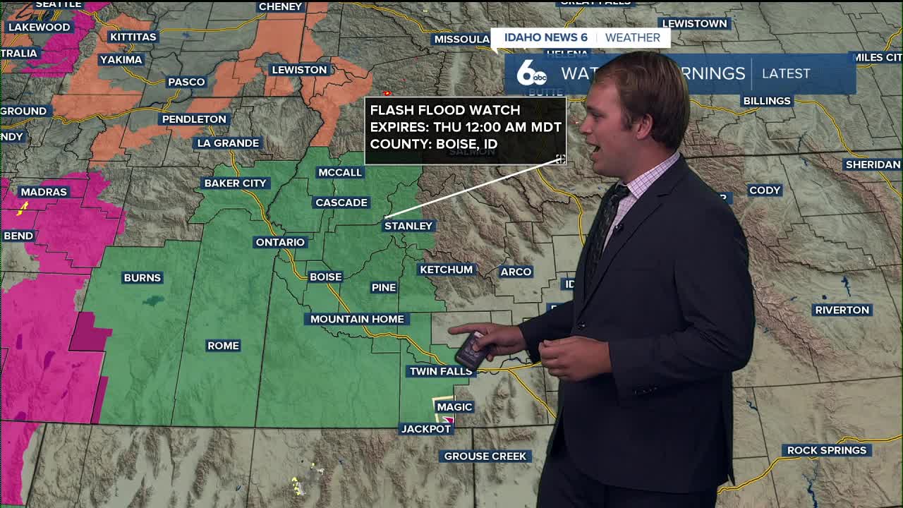


The National Weather Service has issued a flash flood watch for much of Southwestern Idaho as monsoon moisture continues to push north this week.
That means we’re in for a wetter, stormier stretch. You’ve probably noticed the clouds and even some light showers this morning—that’s just the beginning.
If you live near a burn scar such as the Wapiti, Lava, or Durkee fires — flash flooding will be a concern heading into the week. Stay weather aware.
Today through Wednesday:
Showers and thunderstorms become more likely each day, with the primary concern being heavy rainfall. Some storms could dump enough rain to cause flash flooding, especially by Wednesday when a slow-moving upper trough lines up with the best instability. Even a little sunshine could spark those storms, so we’ll be watching closely.
Temperatures will trend cooler, with valley highs struggling even to hit 80° by Wednesday.
Looking ahead:
The moisture lingers into Thursday, mainly for southwest Idaho, before drier air moves in.
After that, models show a strong upper ridge building Friday into early next week, which means drier skies and a warming trend. Expect temperatures to bounce back to a few degrees above normal heading into the weekend and beyond.
