

Idahoans can get ready for some cooler, wetter and snowy weather to kick off December as a storm system headed our way means a potentially wet weekend for the Treasure Valley.
Wednesday and Thursday, we settle into a quiet stretch. A brief ridge builds in, bringing dry, stable weather and highs in the low 40s. Morning fog and low stratus are possible both days, especially in the mountain valleys and across the central Snake Plain, with the potential to drift into the lower Snake by Thursday morning.
By Thursday night, moisture begins to ride over the ridge, setting up the start of a more unsettled pattern.
🌧️ Looking Ahead (Friday Into the Weekend)
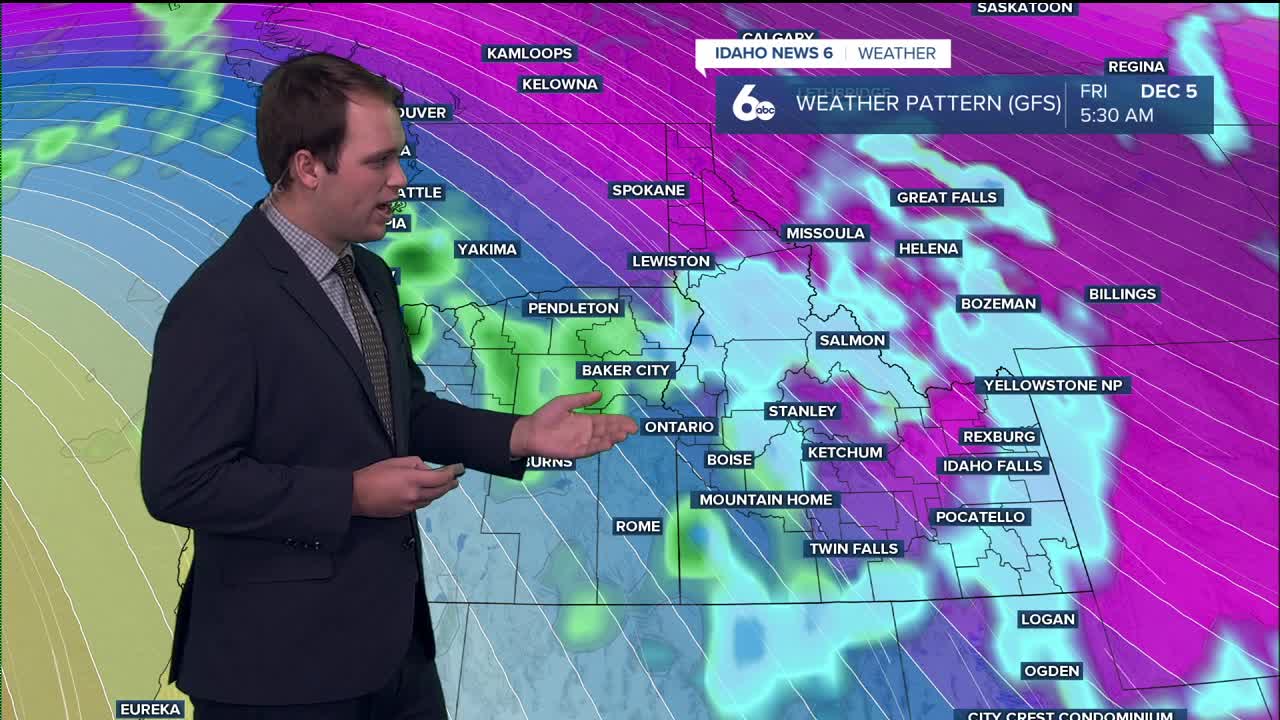
A very moist warm front pushes through Friday into Saturday evening, sending snow levels soaring. They’ll start around 4,000–6,000 feet Friday morning — meaning some mountain valleys may open as snow — then rise to 5,500–7,000 feet by Friday night, and approach 8,000 feet as the warm front fully passes. Rain and snow chances ramp up through the day Friday, peaking Friday night into Saturday with 50–70% chances in the lower elevations and 70–90% in the mountains.
Through the rest of the weekend, Pacific moisture keeps streaming into the region with weaker waves bringing additional rounds of rain and mountain snow. Precipitation chances won’t be quite as high as Friday night and Saturday, but totals will still add up: 0.10–0.50” in the valleys and 0.50–1.50” in the mountains, with even higher amounts possible along the highest peaks. Above 6,000–7,000 feet, this means heavy snow. (skiers and snowboarders rejoice)
Snow levels will fluctuate a bit with each passing impulse, but should average 5,000–7,000 feet through Sunday.

