


Happy new year to you Idaho as 2026 starts with wet weather and it looks to continue over the next few days.
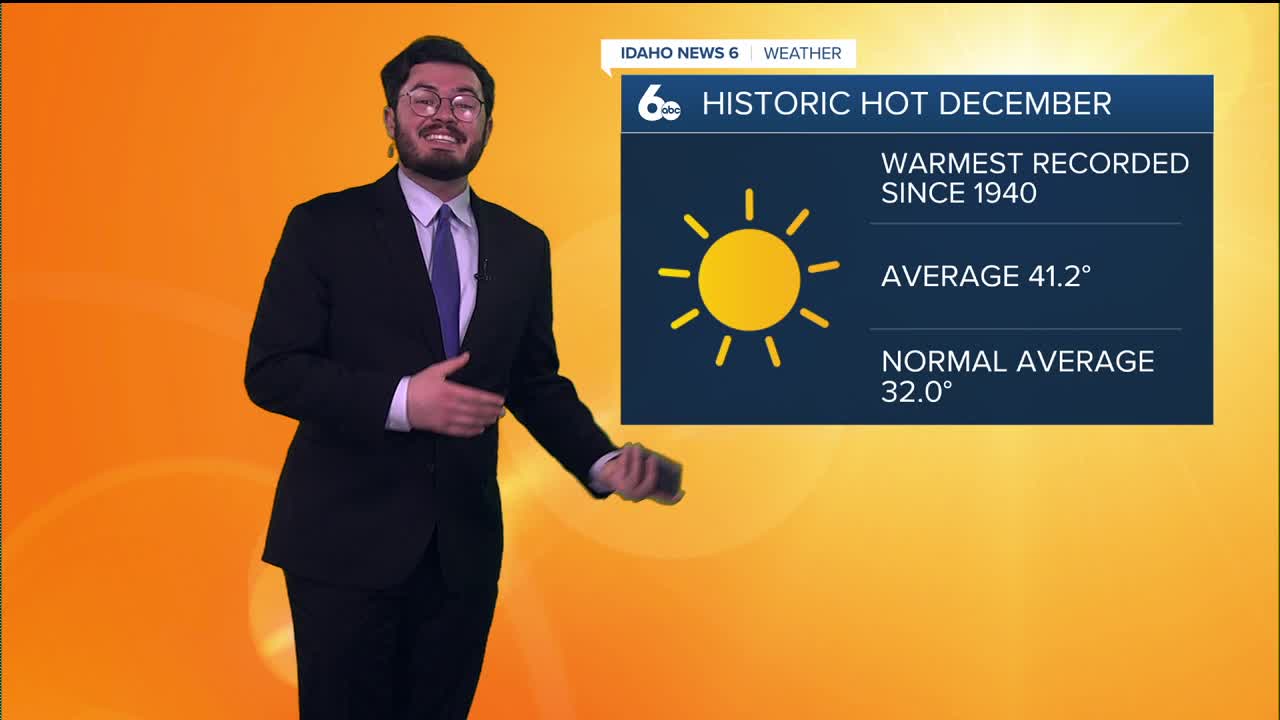
This after Idaho experienced one of the warmest Decembers of all time. Tracking since 1940 this was the warmest Boise December ever with an average of 41.2°. Compared to the normal average of 32°.
Winter weather looks to roll in though as we will see a fall in temperatures soon. 50's go to 40's and next weekend could get into 30's as the high. There are still advisories for some parts of the Gem state right now into tomorrow even with the warmer conditions.

The pattern this next week will also hopefully bring some snow to the mountain with a growing need for snowpack. Showers could disipate heading into the work week but this weekend will be a help.
Hope you have a great start to the year and stay dry!
