

The Treasure Valley is enjoying the final days of an exceptionally mild November stretch, with Wednesday expected to be the warmest day before a significant weather pattern change brings some mountain snow.
Peak warmth through Wednesday
Tuesday will feature sunny skies with highs near 62 degrees - about 10 degrees above normal for mid-November. A weak upper-level trough moving across the Idaho Panhandle is helping to break down the temperature inversion that has kept some valley locations cooler over the weekend.
Wednesday represents the climax of this warm pattern, with partly sunny skies and highs reaching 66 degrees. This will put temperatures 10 to 15 degrees above normal across most locations as southwesterly flow aloft increases ahead of a deeper weather system approaching the West Coast.
The warming Wednesday will also bring breezy conditions, especially across the higher terrain of southeast Oregon, as surface winds respond to the changing upper-level pattern.
Major pattern shift begins Thursday
The weather story takes a dramatic turn Thursday as a long-anticipated upper-level trough finally moves into the region. This system will bring the most significant changes we've seen in weeks.
A cold front will sweep across the area Thursday, bringing a 50% chance of rain and high temperatures still reaching 65 degrees. However, the real changes begin Thursday night as rain becomes likely with a 60% chance of precipitation.
The temperature crash happens Friday as the cold front passes completely through. Highs will plummet from the mid-60s Thursday to around 51 degrees Friday - a drop of nearly 15 degrees in 24 hours.

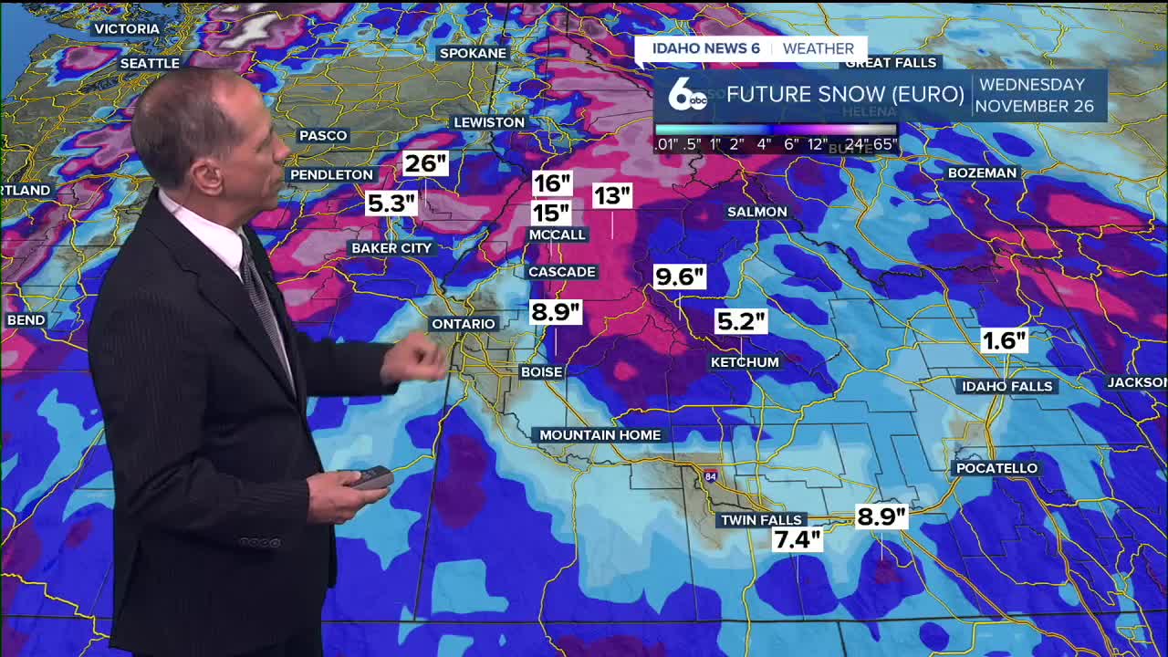
Snow levels finally drop for ski areas
This is the news ski areas and winter sports enthusiasts have been waiting for. Snow levels, which have been running between 7,000 and 9,000 feet for weeks, will finally drop significantly.
Wednesday night may bring the first light precipitation to southeast Oregon and central Idaho mountains, but snow levels will still be high at 8,000 to 9,000 feet.
The real change comes with Thursday's cold front. Snow levels will fall dramatically from west to east, dropping from around 8,000 feet midday Thursday to 4,500-5,000 feet by midday Friday.
Lower elevations could see up to 0.20 inches of precipitation, while areas above 6,000 feet may receive 2 to 5 inches of snow accumulation.
Snow levels will continue dropping Friday night and Saturday morning to between 4,000 and 5,500 feet before rising slightly Saturday night and Sunday morning to 5,500-6,500 feet.

Weekend and beyond
Behind the cold front, temperatures will return to near normal levels. Friday and Saturday will see highs around 50-51 degrees with lingering moisture keeping scattered shower chances in the forecast through the weekend.
Another weather system is setting up to move through late Sunday into Monday, with early indications suggesting snow levels could drop below 4,000 feet. However, forecast models show significant uncertainty about the timing and intensity of this next system.

Daily forecast
Monday Night: Mostly cloudy, then gradually becoming mostly clear, with a low around 39 degrees. Calm wind.
Tuesday: Sunny, unseasonably mild & pleasant, with a high near 62 degrees. Calm wind.
Wednesday: Partly sunny & mild, with a high near 66 degrees. Cool SE breeze developing
Thursday: A 50% chance of rain. Mostly cloudy, with a high near 65 degrees.
Thursday Night: Rain likely, mainly before 11 p.m. Mostly cloudy, with a low around 38 degrees. Chance of precipitation is 60%.
Friday: A 30% chance of rain, mainly before 11 a.m. then partly sunny, with a high near 51 degrees.
Friday Night: A 20% chance of rain. Mostly cloudy, with a low around 36 degrees.
Saturday: A 20% chance of rain before 11 a.m. Partly sunny, with a high near 50 degrees.
Saturday Night: Mostly cloudy, with a low around 39 degrees.
Sunday: A 30% chance of rain. Partly sunny, with a high near 56 degrees.
Sunday Night: A 40% chance of rain. Mostly cloudy, with a low around 36 degrees.
Monday: A 30% chance of rain. Partly sunny & seasonable, with a high near 49 degrees.
Stay connected right here for updates to my changing weekend weather forecast!