

The upper-level pattern will transition into southwest flow as a trough deepens offshore Saturday, setting the stage for a major storm system that could bring 6 inches or more of snow to higher elevations Monday through Tuesday.

Stable conditions will continue producing fog and low clouds overnight, though Friday will see partly sunny skies with highs near 52 degrees. Saturday marks the beginning of the southwest flow pattern, keeping lower elevations dry while increasing mountain precipitation chances to 50 to 80%. Snow levels of 5,000 to 6,000 feet will limit valley accumulations to trace amounts, while areas above 6,000 feet could see 2 to 4 inches.
The main event develops Sunday into next week, with weather models consistently targeting late Monday into early Tuesday for the bulk of precipitation. What makes this system particularly interesting is how two lows - one off California and another from the Gulf of Alaska - will merge, with the second essentially slinging the initial system over our area with enhanced dynamics and abundant Pacific moisture.
The numbers are impressive for mountain areas, particularly west-central Idaho and the Boise Mountains where precipitation chances exceed 90% Monday afternoon through Tuesday afternoon. Elevations above 6,000 feet have a 50 to 75% chance of receiving 6 inches of snow as snow levels drop from 4,500-6,000 feet Monday to 2,500-4,000 feet Tuesday.

The active pattern continues beyond Tuesday with elevated precipitation chances through the week. Snow levels will drop to 1,500-3,000 feet, meaning morning snow and wintry mix isn't out of the question for the Treasure Valley next week. Temperatures will start around 10 degrees above normal Sunday and Monday, then drop to near or below normal Tuesday and beyond.

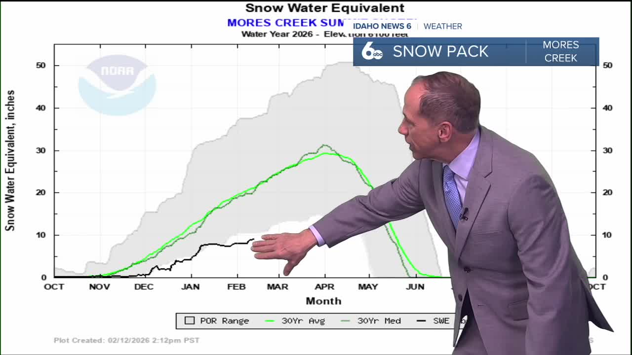
This represents a dramatic shift from the persistent ridge pattern to an active winter weather pattern that could finally deliver the significant mountain snowfall and even valley snow chances that many have been waiting for.

Thursday Night
Mostly cloudy, with a low around 32. Calm wind.
Friday
Partly sunny, with a high near 52. Light east wind.
Friday Night
Mostly cloudy, with a low around 37. Light wind.
Saturday
Cloudy, with a high near 55. Wind SE 5-9.
Saturday Night
Cloudy, with a low around 37. Light wind.
Sunday
Partly sunny, with a high near 58.
Sunday Night
Mostly cloudy, with a low around 36.
Monday
A 20 percent chance of rain after 11am. Partly sunny, with a high near 56.
Monday Night
Rain likely, mainly after 11pm. Cloudy, with a low around 36. Chance of precipitation is 70%.
Tuesday
Rain and snow likely. Mostly cloudy, with a high near 49. Chance of precipitation is 60%.
Tuesday Night
A chance of rain and snow. Mostly cloudy, with a low around 31. Chance of precipitation is 40%.
Wednesday
A 40 percent chance of snow. Partly sunny, with a high near 44.
Wednesday Night
A 50 percent chance of snow. Mostly cloudy, with a low around 31.
Thursday
Snow likely. Mostly cloudy, with a high near 44. Chance of precipitation is 60%.