

The late Summer thunderstorm activity is here. Heavy showers and flash flood watches are expected through Thursday. Here is a look at your forecast.
Impressive storms hit many parts of the southern border and Idaho's central mountain regions. Lightning strikes and thunderstorms passed over the eastern and norther Treasure Valley and tomorrow the whole Boise region will see some rain.
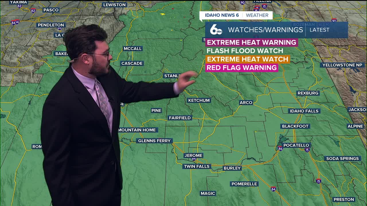
High chances of showers are expected for most of southern Idaho and flash flood watches last until Wednesday night. The good news is this all arrives before the holiday weekend and things clear up nicely soon.
The Labor day weekend has low 90's and clear skies in the Treasure Valley. Most of Idaho if not all will be dryer and warmer than what we saw Tuesday and Wednesday so get those plans ready to go!
Here is your extended forecast:
Wednesday
Showers likely and possibly a thunderstorm, with a high near 76. Light wind. Chance of precipitation is 70%. New rainfall amounts between a quarter and half of an inch possible.
Wednesday Night
A chance of showers and thunderstorms, with a low around 62. Light wind. Chance of precipitation is 30%.
Thursday
Mostly sunny with a 20 percent chance of showers. High near 83. Light NW breeze.
Friday
Sunny, with a high near 87.
Friday Night
Mostly clear, with a low around 61.
Saturday
Sunny and hot, with a high near 90.
Saturday Night
Mostly clear, with a low around 62.
Sunday
Sunny and hot, with a high near 90.
Sunday Night
Mostly clear, with a low around 63.
Monday
Sunny, with a high near 89.
Tuesday
Sunny, with a high near 89.
Stay connected right here for updates on our flash flooding potential!