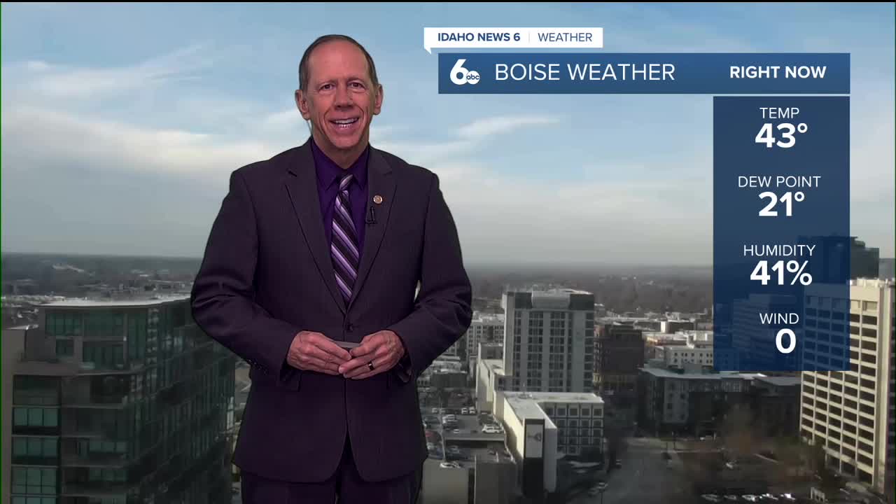


Areas of mist and slightly reduced visibility are occurring in the Treasure Valley Tuesday afternoon due to limited atmospheric mixing and light winds. This quiet weather pattern will get a significant jolt of activity Wednesday as an upper-level trough moves into the Pacific Northwest.
The approaching system will bring a quick-hitting cold front to the region, creating the most active weather the area has seen in recent weeks.
Wednesday brings mixed precipitation
The cold front will produce breezy westerly winds, especially across the Lower Snake Plain to the Magic Valley and on ridgetops. Snow will be the dominant precipitation type across the region.
Snow levels will gradually increase as the day progresses, starting at valley floors and rising to 3,500 to 4,500 feet by afternoon. This changing snow level will create a complex precipitation pattern across different elevations.
Freezing rain concerns
Pockets of freezing rain will occur in the Lower (western) Treasure Valley, generally south of the Ontario-Caldwell area. This creates potential slick travel conditions as ice could accumulate on some roadways and surfaces.
Snow amounts across the region will generally range from a dusting to a half inch in the valley, with up to 2 inches possible at higher elevations and mountain tops. While accumulations will be light, the mixed precipitation types could create slippery conditions.
System moves out quickly
Precipitation will end by mid-afternoon Wednesday, though winds will remain elevated in southern portions of the forecast area through the day. The quick-moving nature of this system means impacts will be relatively brief but potentially significant during the morning hours.
Thursday brings additional activity
Another system will move over the rebuilding ridge Thursday, bringing light snow showers to Baker County and the West Central/Boise Mountains. Other than the far northern regions, Thursday will generally remain dry with cold temperatures lingering in area valleys.
Temperature trends
Temperatures will remain near to slightly above seasonal normals with a slow warming trend through the period. Snow levels will range between 4,500 and 5,500 feet, meaning precipitation will likely fall as snow in the mountains and rain in the valleys.
Stagnation concerns
For now, there appears to be enough atmospheric flow to prevent conditions from becoming too stagnant or foggy. However, moisture from the weak systems will increase the chance for valley fog later in the extended forecast period.
Daily forecast breakdown
Tuesday night A 20% chance of snow showers after 11 p.m. Mostly cloudy with a low around 26 degrees. Calm winds becoming east-southeast around 5 mph.
Wednesday A chance of snow showers, mixing with rain after 9 a.m., then gradually ending. Cloudy through mid-morning, then gradual clearing with a high near 42 degrees. Light and variable winds. Chance of precipitation is 50%. New snow accumulation of less than a half inch possible.
Wednesday night Increasing clouds with a low around 27 degrees. Calm winds.
Thursday Cloudy conditions with a high near 44 degrees. Calm winds as the system moves through northern areas.
Thursday night Mostly cloudy skies with a low around 30 degrees. Calm winds.
Friday Cloudy conditions and unseasonably mild with a high near 48 degrees as the next shortwave approaches.
Friday night Mostly cloudy skies with a low around 33 degrees.
Saturday Mostly cloudy and mild with a high near 48 degrees as the ridge restrengthens.
Saturday night Mostly cloudy skies with a low around 33 degrees.
Sunday Mostly cloudy and mild with a high near 50 degrees as temperatures continue climbing.
Sunday night Mostly cloudy skies with a low around 35 degrees.
Monday Mostly cloudy and mild with a high near 49 degrees as the next shortwave approaches.
Monday night Mostly cloudy skies with a low around 32 degrees.
Tuesday Mostly sunny and continued mild with a high near 50 degrees as the pattern temporarily clears.
Stay connected right here for any changes in the forecast for snow in Boise.