

Light rain across the region is winding down this afternoon, while increased moisture will lead to more fog formation tonight. Meanwhile, ski areas are watching for promising changes late next week as colder air and lower snow levels approach.
Tonight Through Saturday: Fog Returns with Mild Temperatures
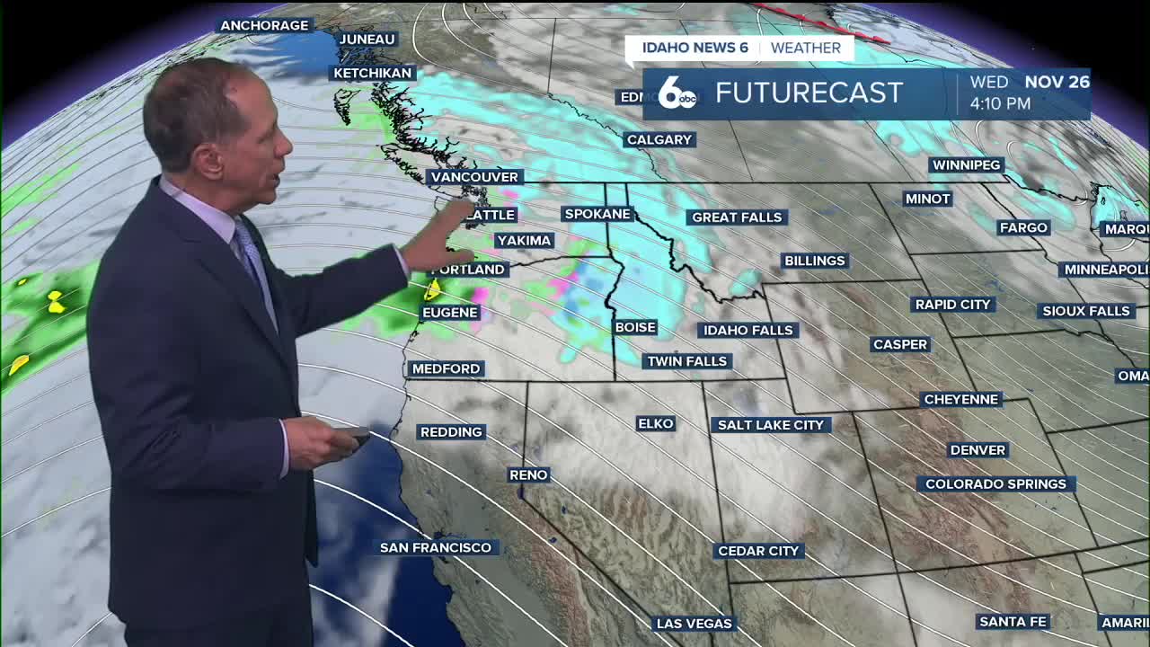
Light rain echoes were still showing on radar at 1 p.m. from Baker County through Malheur County into Owyhee County, but the precipitation is slowly decreasing and should end by sunset. A few more weak echoes in the Boise Mountains and Upper Weiser River Valley should also end by sunset.
Thursday's rain has added moisture to the lowest atmospheric levels, which should lead to more fog than previously forecast. It's difficult to determine where fog may become dense, so no advisory will be issued at this time.
Little day-to-day weather change is expected through the weekend, with a weak upper-level high creating a temperature inversion in the valleys below, bringing the usual fog and low clouds. Except for a slight 15% to 20% chance of rain near the Idaho-Nevada border tonight, no precipitation is expected through Saturday night. Light winds will persist through the period.
Extended Outlook: Alaskan System Brings Changes
High pressure and weak flow aloft will keep Sunday mostly dry with temperatures remaining above normal. However, Sunday evening and early Monday, a broad Alaskan low will swing mostly north of the area, bringing significant changes.
High terrain in southwest Idaho and southeast Oregon will see a 20% to 40% chance of precipitation. The strong northwesterly flow behind the low will lower snow levels to 3,500 to 5,000 feet, with lower elevations to the north. This means most mountain towns could see snow with minimal accumulation Monday morning.
Temperatures will also drop behind the low Tuesday, falling to normal for this time of year. Weak high pressure will again build into the area, but flow will remain strong and moist enough for another shot at precipitation Wednesday.
Precipitation Wednesday is likely to be very orographic, as only a few weather models show a shortwave providing dynamics. Precipitation will last through much of Thanksgiving Day, but that night another brief dry spell will set in before what is shaping up to be a much colder weekend.
Ski Resort Outlook: Finally Some Good News
Local ski areas have been eagerly waiting for colder weather and lower snow levels, and next week's pattern change could finally deliver. The Alaskan system arriving Sunday night and Monday will drop snow levels to 3,500 to 5,000 feet, putting many ski resort elevations in the snow zone for the first time this season.
While Monday's snow accumulations may be minimal, the temperature drop and lower snow levels represent a significant shift from the persistent warm pattern that has delayed ski season openings. Mountain towns at elevations around 4,000 to 5,000 feet could see their first snowfall of the season Monday morning.
The continued unsettled pattern through Thanksgiving, combined with much colder air arriving for the following weekend, suggests ski areas may finally be able to begin snowmaking operations and potentially open limited terrain by early December. The orographic nature of Wednesday's precipitation means mountain locations will see enhanced snowfall compared to valley areas.
This represents the most promising weather pattern for ski areas since early November, with sustained cold air and multiple chances for mountain snow finally on the horizon.
Daily Forecast
Thursday Night: Areas of fog, possibly dense. Otherwise, mostly cloudy, with a low around 37 degrees. Light wind.
Friday: Patchy morning. Otherwise, partly sunny, then gradually becoming sunny, with a high near 50 degrees. Light wind.
Friday Night: Mostly clear, with a low around 35 degrees. Calm wind.
Saturday: Mostly sunny & comfortable, with a high near 53 degrees. Light and variable wind.
Saturday Night: Mostly clear, with a low around 32 degrees.
Sunday: Sunny, with a high near 53 degrees.
Sunday Night: Partly cloudy, with a low around 33 degrees.
Monday: Mostly sunny, with a high near 47 degrees.
Monday Night: Partly cloudy & colder, with a low around 26 degrees.
Tuesday: Mostly sunny, with a high near 44 degrees.
Tuesday Night: A chance of rain and snow. Mostly cloudy, with a low around 30 degrees. Chance of precipitation is 30%.
Wednesday: A chance of rain and snow. Mostly cloudy, with a high near 44 degrees. Chance of precipitation is 30%.
Wednesday Night: A 30% chance of rain. Mostly cloudy, with a low around 33 degrees.
Thanksgiving Day: Partly sunny, with a high near 47 degrees.
Stay connected right here for updates to my extended forecast!