

The Treasure Valley and most populated communities across Idaho will see some light rainfall this week as a series of weather systems moves through the region, while higher elevations prepare for some early early-season snow.
Light rain showers will begin Monday night after 11 p.m. across the Treasure Valley, with the best chances for precipitation continuing through Tuesday morning. Around 0.05 inches or less of rainfall is likely for most valley locations.
The most active weather arrives Wednesday, when a cold front pushes through the region bringing stronger winds and more widespread showers.
Mountain Snow at Higher Elevations
While most communities will see rain, higher elevations will experience snow as part of this weather pattern. The central Idaho mountains will see the most significant precipitation, with 0.20 to 0.50 inches expected and locally up to 0.75 inches possible in favored areas.
Snow levels will fluctuate between 6,000 and 9,000 feet throughout the week. Tonight, snow levels start at 7,500 to 9,000 feet before dropping to 6,000 to 8,000 feet Tuesday morning. By late Wednesday night, snow levels will settle at 6,000 to 7,000 feet.
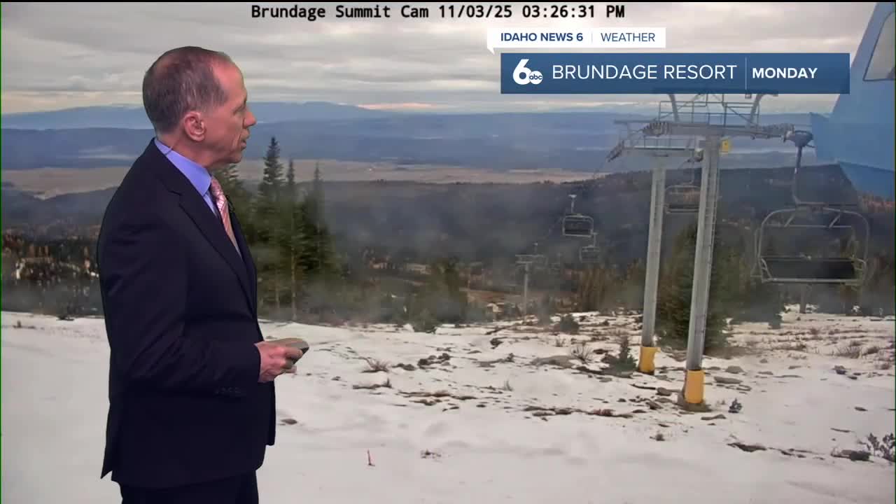
Ski Resort Conditions
Ski resorts with base elevations between 6,500 and 7,500 feet should see mixed conditions this week. With snow levels fluctuating around resort elevations, expect a mix of rain and snow at mid-mountain areas, while upper elevations above 7,500 feet will receive several inches of fresh snow by Thursday morning.
The most promising snowfall for ski areas comes Wednesday night into Thursday, when colder air moves in and snow levels drop consistently below 7,000 feet.
Extended Outlook
The active weather pattern continues into the weekend, with Friday bringing the heaviest precipitation of the week. The weather service forecasts an 80% chance of showers Friday, with considerable amounts possible in the mountains.
"Precipitation amounts may be considerable for favored upslope areas such as the west-central Idaho and Boise mountains," the forecast states.
Conditions dry out significantly for the weekend, with mostly sunny skies returning Saturday and Sunday as high pressure builds over the region.
Daily Forecast
Monday Night: A 50% chance of showers after 11 p.m. Mostly cloudy, with a low around 47 degrees. Wind becoming SE 4-8 mph.
Tuesday: A 50% chance of showers. Mostly cloudy & still milder than average, with a high near 62 degrees. Light wind.
Wednesday: A 50% chance of showers after 11 a.m. Mostly cloudy, with a high near 63 degrees. Wind SSE 6-12.
Wednesday Night: Showers likely, mainly before 11 p.m. Mostly cloudy, with a low around 43 degrees. Light wind. Chance of precipitation is 70%.
Thursday: Partly sunny with a cool breeze and a high near 58 degrees.
Thursday Night: Rain likely, mainly after 11 p.m. Mostly cloudy, with a low around 46 degrees. Chance of precipitation is 60%.
Friday: Morning rain then partial clearing , breezy & seasonable. High near 56 degrees. Chance of precipitation is 80%.
Friday Night: Partly cloudy, with a low around 35 degrees.
Saturday: Mostly sunny, with a high near 55 degrees.
Saturday Night: Mostly cloudy, with a low around 38 degrees.
Sunday: Sunny & quite pleasant, with a high near 61 degrees.
Monday: Mostly sunny & mild, with a high near 60 degrees.
Stay connected right here for updates on when you can expect rain where you live.