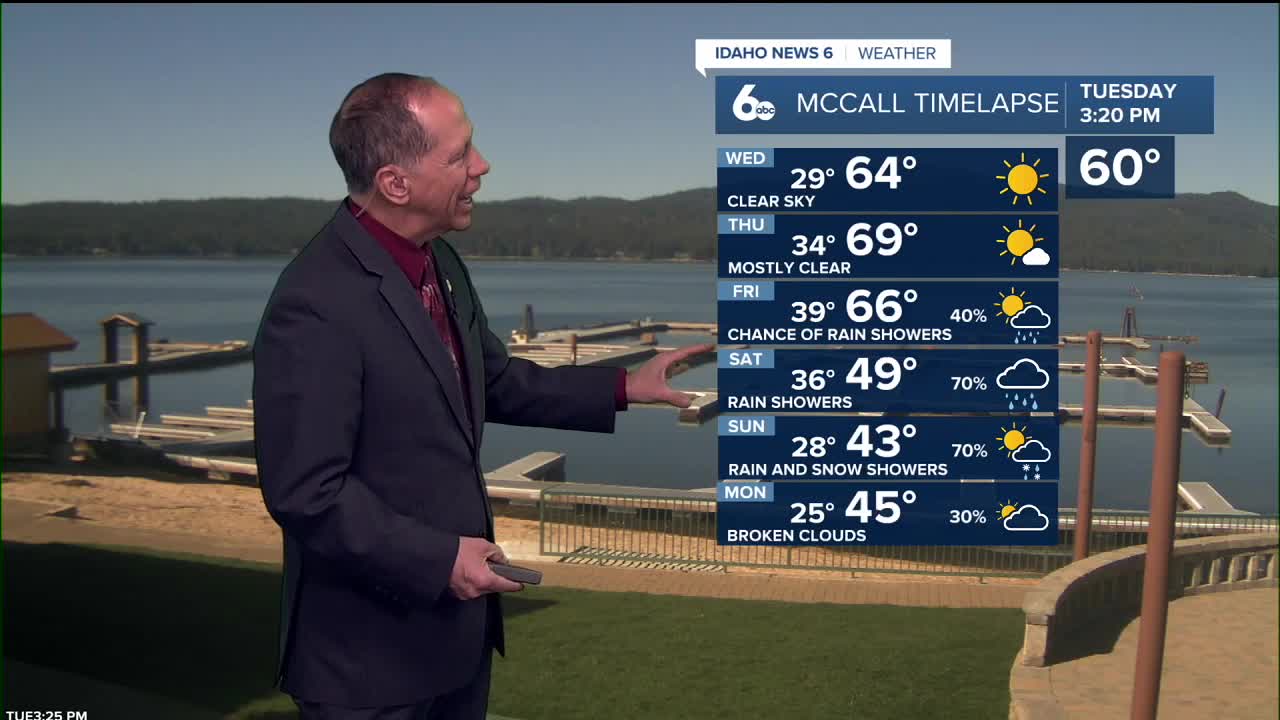


After a chilly Tuesday morning that brought scattered frost across Idaho, temperatures rebounded nicely with valley highs reaching just over 70 degrees. The pleasant weather pattern is set to continue with even warmer conditions ahead.
Beautiful weather through Thursday
We're looking at beautiful, dry weather continuing through Thursday night as temperatures gradually warm up. Expect highs to climb 5 to 8 degrees on Wednesday, then another 3 to 6 degrees on Thursday. Overnight lows will warm more slowly.
Wednesday will be sunny and pleasant with highs near 78 degrees, while Thursday looks even warmer with mostly sunny skies and temperatures reaching around 81 degrees.
Winds will stay light to moderate from the southeast - around 5 to 15 mph at night and 10 to 20 mph during the day. The central Snake Plain and Harney County could see afternoon gusts up to 30 mph, with Wednesday's winds gusting as high as 22 mph.

Rain chances Friday Night
A weather system moving in from the Pacific will bring some changes starting Friday, but valley areas will see mostly dry conditions. We'll see increasing clouds with only a slight chance of light showers, especially Friday night.
Friday starts with mostly sunny skies and a high near 78 degrees, but there's only a 20% chance of showers developing. Rain chances increase slightly to 50% Friday night, but most activity will focus on the mountains.
The mountains in west-central and central Idaho have the best shot at seeing rainfall - there's a 60 to 80% chance they could pick up a quarter-inch or more. Valley locations will likely stay mostly dry. Snow levels will remain high initially, around 8,000 to 9,000 feet.

Weekend cool down brings temperature drop
Saturday brings a dramatic temperature drop of 15 to 20 degrees as cooler air moves in behind the system. Highs will only reach around 60 degrees - a sharp contrast from the 80-degree weather earlier in the week.
Winds will pick up from the west and northwest. Valley areas will see only a 30% chance of light showers Saturday and Saturday night, with most precipitation staying in the mountains.
Snow levels will drop to about 6,000 feet Saturday, then down to 5,000 feet Sunday. This means light snow is possible in high mountain valleys like Long Valley, while higher elevations in northeast Oregon and west-central Idaho could see several inches of accumulation.

Extended outlook
Sunday will be mostly sunny with just a 20% chance of morning showers and highs around 55 degrees. Valley areas should stay largely dry as the weather pattern remains cool and unsettled into early next week.
Monday brings similar conditions with a 20% chance of light showers, mainly in mountain areas.
By Tuesday, mostly sunny skies return with highs climbing back to around 58 degrees as the weather pattern begins to stabilize.

Daily forecast
Tonight: Clear, with a low around 47. Light southeast breeze.
Wednesday: Sunny, warmer and pleasant, with a high near 78. Southeast wind 6 to 12 mph, with gusts as high as 22 mph.
Thursday: Mostly sunny, warm & plesant, with a high near 81. Southeast wind 6 to 12 mph.
Friday: A 20% chance of showers. Mostly sunny, with a high near 78.
Friday Night: A 50% chance of showers. Mostly cloudy, with a low around 47.
Saturday: A 30% chance of showers. Partly sunny, with a high near 60.
Saturday Night: A 30% chance of showers. Mostly cloudy, with a low around 40.
Sunday: A 20% chance of showers before noon. Mostly sunny, with a high near 55.
Sunday Night: A 20% chance of showers. Partly cloudy, with a low around 39.
Monday: A 20% chance of showers. Partly sunny, with a high near 55.
Tuesday: Mostly sunny, with a high near 58.
Stay connected right here for updates to my weekend forecast!