

Wind gusts to 50 mph are occurring across parts of southwest Idaho, with isolated gusts to 60 mph. This will continue this evening with some storms dropping heavy rain and hail, then breezy & cooler conditions for Thursday ahead of a weekend warm up.
This Evening & Early Tonight
showers and thunderstorms producing blowing dust. Gust winds 40-55 mph with some higher gusts possible.


Tonight
Gusty wind will diminish from west to east, and skies will clear.
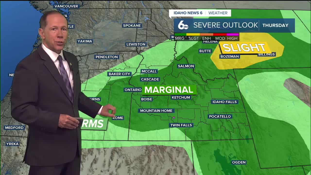
Thursday
Sunny & cooler, with a high near 89. West northwest wind 10-20 mph.
Friday
Sunny and hot, with a high near 92. Light wind.
Friday Night
Clear, with a low around 62.
Saturday
Sunny and hot, with a high near 96.
Saturday Night
Clear, with a low around 64.
Sunday
Sunny and hot, with a high near 98.
Monday
Sunny and hot, with a high near 100.
Tuesday
Sunny and hot, with a high near 99.
Wednesday
Sunny and hot, with a high near 99.
Stay connected right here for the latest on the gusty wind Wednesday evening!