

Deep moist southerly flow will continue bringing intermittent rain to southwestern Idaho and southeastern Oregon through the holiday, with a significant weather pattern change expected this weekend that will bring mountain snow and valley fog conditions.
Tonight Through Holiday: Warm Rain Persists
The strong surface pressure gradient responsible for recent windy conditions will relax tonight, allowing winds to subside this evening. However, the moist flow from an upper-level trough and storm system will continue bringing intermittent periods of rain to the area through the holiday.
Even mountain areas will see rain rather than snow, as snow levels remain above 6,500 feet through the holiday. Temperatures will cool a few degrees in the rain but will still run about 15 degrees above normal for the holiday.
The unseasonably warm and wet pattern represents a stark departure from typical late December weather, with rain dominating instead of the snow typically expected this time of year.

Friday: Transition Begins
Temperatures will cool by another 5 to 10 degrees Friday as the main upper-level trough and storm system move through the area. This cooling will bring snow levels down to the 4,000 to 5,000-foot range, finally allowing for snow accumulations above these elevations.
The Boise and west-central mountains will see the most snow Friday, with snow expected on roads and in mountain communities as the weather pattern transitions from the recent warm, rainy conditions.

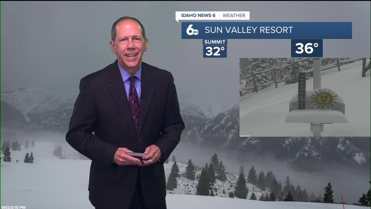
Mountain Snow Conditions for Ski Areas
The pattern change Friday will bring much-needed relief to Idaho's ski areas. As snow levels drop from above 6,500 feet to the 4,000 to 5,000-foot range, ski resorts will finally see a transition from rain back to snow. The Boise and west-central mountains will receive the most beneficial snowfall, with accumulations expected at ski area elevations.
Mountain communities and ski resort access roads should prepare for snow conditions Friday, marking the first significant mountain snowfall in several days. This transition will help rebuild base depths that have been compromised by the recent warm, rainy weather pattern.

Weekend: Snow Tapers Off Then Major Pattern Shift
Saturday will feature lingering precipitation over the mountains as the upper-level trough moves east. With deteriorating upper-level forcing and moisture, local orographic effects will become the main driver of precipitation. Snow levels will drop to valley floors, making snow the dominant precipitation type.
With decreasing moisture in northwest flow aloft, minimal additional accumulations are expected Saturday, with up to 1.5 inches possible across the highest peaks.
Extended Outlook: Inversion and Fog Pattern Develops
A major weather pattern change begins Sunday as the storm system moves east and high pressure builds over the region. This will create much drier conditions but also set up a weather pattern that traps air in the valleys.
High pressure combined with light winds and the low winter sun will cause air to become trapped near the valley floors, creating temperature inversions. These inversions, along with moisture left over from the recent wet weather, will likely bring widespread fog and low clouds to valley areas for much of next week.
This pattern will also cause cold air to pool in the valleys, which could make temperatures cooler than currently forecast. However, the fog and low clouds may also trap some heat near the surface, keeping overnight temperatures from dropping as much as they would under clear skies.

Daily Forecast:
Tonight: Rain. Low around 43. Lighter SE wind 6 to 8 mph. Chance of precipitation is 90%.
Thursday: Showers, mainly after 11 a.m. Still breezy & unseasonably mild. High near 56. ESE wind 7 to 11 mph, with gusts as high as 25 mph. Chance of precipitation is 80%.
Thursday Night: Showers before 8 p.m., then rain after 8 p.m. Low around 40. ESE wind 6-8 mph. Chance of precipitation is 90%.
Friday: Rain likely, mainly before 11 a.m. Mostly cloudy, with a high near 51. SE wind 6 to 8 mph.. Chance of precipitation is 60%.
Friday Night: Rain likely before 11 p.m., then a chance of rain and snow. Mostly cloudy, with a low around 32. Chance of precipitation is 60%. Little or no snow accumulation expected.
Saturday: A 20% chance of snow before 11 a.m. Partly sunny & much cooler, with a high near 41.
Saturday Night: Partly cloudy & colder, with a low around 23.
Sunday: Mostly sunny, with a high near 39.
Stay connected right here for updates on our weather pattern change.