

High pressure aloft will continue dominating the weather pattern through Wednesday, maintaining dry and stable conditions across Idaho before a series of storms brings mild and wet weather for the New Year holiday weekend.
Current Pattern: Stable High Pressure Continues
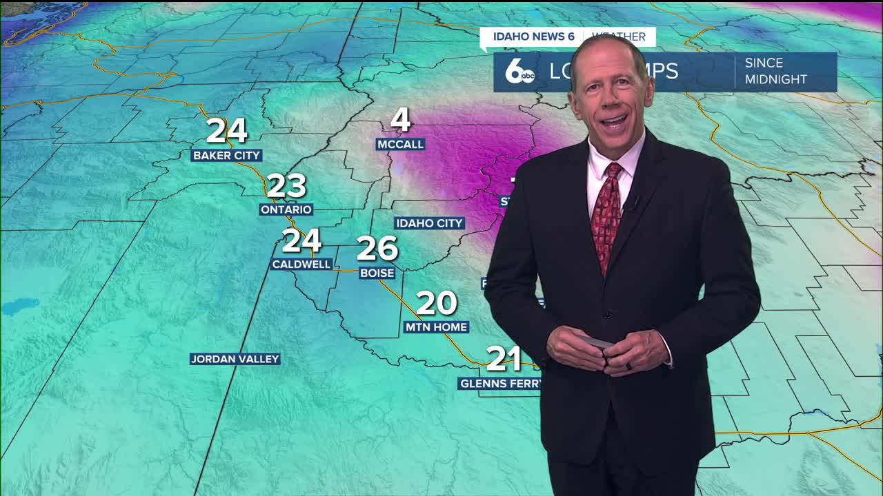
The persistent high-pressure system will keep the region under a dry and stable air mass as temperatures continue warming aloft through Wednesday. This pattern creates a winter inversion scenario where higher elevations experience significant warming while lower elevations remain trapped in cold air.
Higher mountains will see the most dramatic temperature changes, with highs rising around 10 degrees from today through Wednesday. Meanwhile, the lowest elevations will struggle to warm at all over the next couple of days as cold air becomes trapped near the surface.
Given the dry air mass and lack of low elevation snow cover, fog and cloud formation will be limited to mountain valleys and remain isolated during this inversion event, unlike more widespread fog events seen in other winter patterns.

Wednesday Night: First Storm Approaches
The first in a series of storms will lift north from California late Wednesday, marking the beginning of a significant pattern change. Light precipitation is expected to reach areas along the northern Nevada border Wednesday night, with snow levels starting at 5,000 to 7,000 feet.
This system represents the leading edge of a more active weather pattern that will dominate the New Year holiday period and weekend.
New Year Holiday: Return to Mild and Wet Conditions
Mild and wet conditions will return late this week and into the weekend as moisture overspreads the area from south to north Thursday. The incoming air mass will be notably mild, but with cold air initially in place, precipitation in mountain valleys may begin as snow or a rain-snow mix before changing to rain below 5,500 to 7,000 feet by Thursday night.
Any snow accumulations in mountain valleys will be light before changing to rain. Light precipitation amounts overall are expected with this system, with around 0.10 inches for lower elevations and up to 0.50 inches for the mountains. This system should weaken or remove the current valley inversion.

Mountain Snow Conditions for Ski Areas
The approaching weather systems will bring mixed conditions to Idaho's ski areas. The first system Thursday into Friday will start as snow at higher elevations before transitioning to rain below 5,500 to 7,000 feet. Snow accumulations of 3 to 6 inches are possible above 6,000 to 7,000 feet before the transition occurs.
The second system Saturday will contain colder air aloft, lowering snow levels to around 5,000 to 6,000 feet, providing better snow conditions for more ski areas. However, the mild air mass will still limit significant accumulations at lower elevation resorts.

Weekend Pattern: Multiple Systems
Precipitation chances will briefly decrease late Friday before increasing again Saturday as a shortwave trough moves inland ahead of a deeper trough off the coast. This second system will contain colder air aloft than the first, with snow levels lowering to around 5,000 to 6,000 feet.
Precipitation amounts will be light in valleys and light to moderate in mountains. Temperatures Friday and Saturday will run 10 to 15 degrees above normal, with breezy winds as the system moves through.

Extended Outlook: Continued Unsettled Weather
Moist west to southwest flow with weak troughing overhead will maintain precipitation chances Sunday into Monday. However, uncertainty increases by Monday as a ridge to the south begins to build, potentially affecting the storm track and precipitation patterns.
Temperatures will be slightly cooler during this period, with snow levels around 4,000 to 5,000 feet, providing better mountain snow conditions as the pattern evolves.

Daily Forecast:
Monday Night: Mostly clear, with a low around 24. Calm wind.
Tuesday: Sunny, with a high near 41. Light and variable wind.
Tuesday Night: Mostly clear, with a low around 25. Calm wind.
Wednesday: Partly sunny, with a high near 43. Light and variable wind.
Wednesday Night: Mostly cloudy, with a low around 31. Calm wind.
Thursday: A 30% chance of rain, mainly after 11 a.m. Mostly cloudy, with a high near 45.
Thursday Night: Rain likely, mainly after 11 p.m. Mostly cloudy, with a low around 36. Chance of precipitation is 60%.
Friday: A 40% chance of rain. Mostly cloudy, with a high near 53.
Friday Night: A 40% chance of rain. Mostly cloudy, with a low around 38.
Saturday: A 50% chance of rain. Mostly cloudy, with a high near 51.
Saturday Night: A 40% chance of rain. Mostly cloudy, with a low around 36.
Sunday: A 30% chance of rain. Partly sunny, with a high near 49.

Sunday Night: A 30% chance of rain. Mostly cloudy, with a low around 34.
Monday: A 30% chance of rain. Partly sunny, with a high near 49.