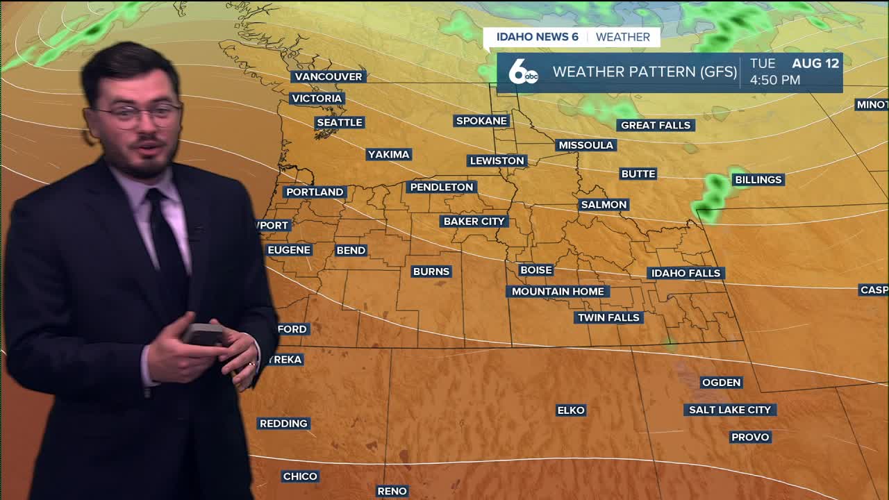


August has gotten of to a much cooler start than years past and that trend will continue tomorrow. Hows the weekend looking? Here is your forecast.
Friday we see even cooler weather on the way compared to Thursday. August has had a very comfortable start across Idaho. The weekend we see hotter weather though. 90's return to most valley regions by Sunday.
The start of the work week will stay hotter as well, but the cooler weather may swing right back in. Next weekend another cold front looks to make its way into the Pacific Northwest which means our cooling trend continues.
Here is your extended forecast:
Friday
Sunny & unseasonably cool, with a high near 83. Light morning wind, then an afternoon breeze 10-15 mph.
Friday Night
Mostly clear, with a low around 56. Light wind.
Saturday
Mostly sunny & warmer, with a high near 88. Light NW breeze.
Saturday Night
Partly cloudy, with a low around 58. Light wind.
Sunday
Sunny and hotter, with a high near 93.
Sunday Night
Clear, with a low around 63.
Monday
Sunny and hotter, with a high near 96.
Tuesday
Sunny and hot, with a high near 96.
Wednesday
Sunny and not as hot, with a high near 91.
Thursday
Sunny and hot, with a high near 90.
Stay connected right here for updates to my extended forecast.