

The region remains caught between two weather systems, with a weak front bringing limited precipitation chances while persistent fog continues to impact valley locations.
Tonight Through Thursday: Valley fog as Weak Front Brings Mountain Showers
The area sits under weak atmospheric flow, sandwiched between a low pressure system over southern California and another along the U.S.-Canada border. The northern system will have the most impact over the next 24 hours as it drags a weak front across the region.
The front will bring a 20% to 40% chance of showers to the east-central Oregon and west-central Idaho mountains Wednesday. The system will also generate enough wind in portions of southeast Oregon to prevent fog and low cloud development.
Further east and south, the front is expected to have little surface impact, which will favor redevelopment of fog and low clouds tonight into Wednesday. Given how persistent the fog has been Tuesday, forecasters expect a mix of fog and low clouds from Harney and Malheur counties through the Snake River Plain to the Twin Falls and Jerome areas.
While confidence isn't high enough to issue dense fog advisories, they may be needed for Wednesday morning if conditions deteriorate as expected. Above the valleys, mid and high-level clouds will accompany the weak front and mountain showers.
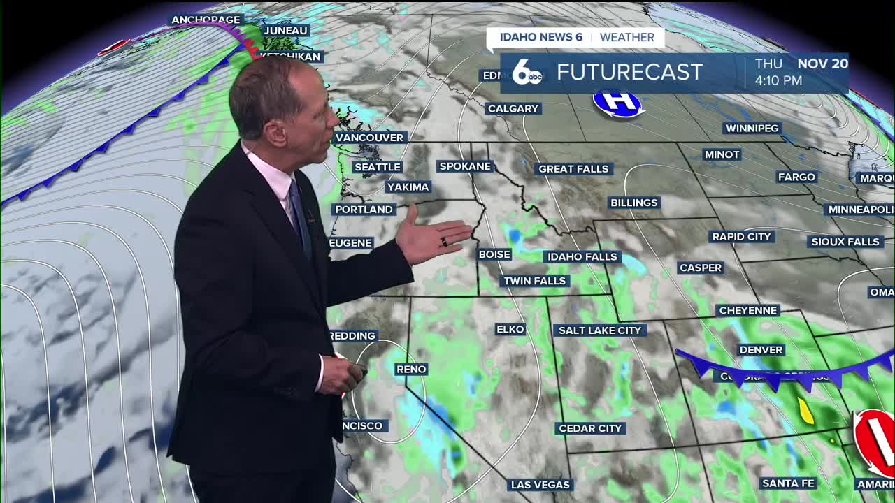
Another weather system will push onto the coast late Wednesday, extending into the region Thursday. This system will bring a more widespread 20% to 30% chance of precipitation to southeast Oregon and southwest Idaho Thursday, though amounts will be light with most locations receiving less than 0.10 inches.
Snow levels through the period will remain between 6,000 and 8,000 feet, so any precipitation that does fall will be limited to the higher peaks.

Extended Outlook: Ridge Building, Temperatures Stay Mild
A ridge will build in from the west Friday as a closed low moves over southern California. This pattern will allow mostly zonal flow to keep temperatures moderated through Monday at about 5 to 10 degrees above normal.
During this period, atmospheric mixing heights will have a daily maximum of around 2,000 to 3,000 feet above sea level, lowest on Friday and Saturday. This could allow a weak temperature inversion to develop while supporting morning fog formation.
A broad trough moves in from Alaska Monday evening, bringing a 20% to 40% chance of precipitation to northern areas and cooling temperatures down to normal by Tuesday. Weather models show less confidence in precipitation than previous forecasts, but the trough pattern is consistent, making a cooldown likely.

Daily Forecast
Tuesday Night: Patchy fog after 8 p.m. Otherwise, increasing clouds, with a low around 38 degrees. Calm wind.
Wednesday: Patchy fog before 11 a.m. Otherwise, mostly cloudy through mid morning, then gradual clearing, with a high near 54 degrees. Calm wind.
Thursday: Mostly sunny, with a high near 54 degrees. Calm wind becoming west northwest around 5 mph in the afternoon.
Friday: Patchy fog before 8 a.m. Otherwise, sunny, with a high near 52 degrees.
Friday Night: Mostly clear, with a low around 32 degrees.
Saturday: Mostly sunny, with a high near 52 degrees.
Saturday Night: Partly cloudy, with a low around 34 degrees.
Sunday: Mostly sunny, with a high near 54 degrees.
Sunday Night: Mostly cloudy, with a low around 36 degrees.
Monday: A 20% chance of rain. Partly sunny, with a high near 54 degrees.
Tuesday: Mostly sunny & cooler, with a high near 44 degrees.
Stay connected right here for updates on our developing fog.